


Bringenatten
Advertisement
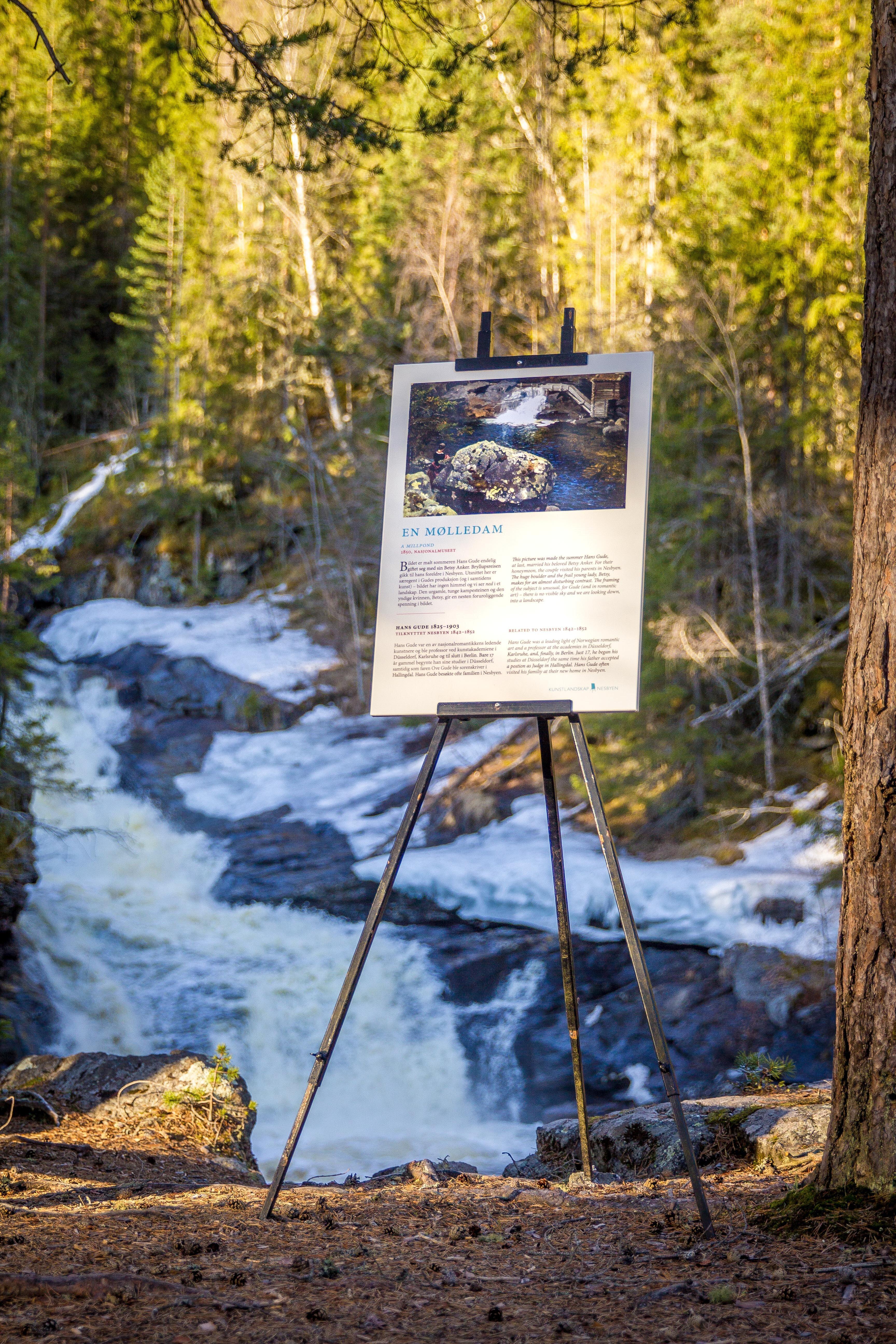
Photos
Nesbyen 3540
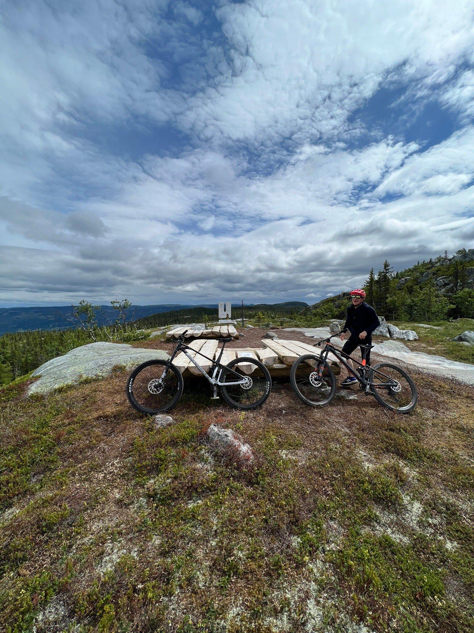
Forest road and trail. 170 - 704 m.a.s.l. Bringenatten offers one of the best views of Nesbyen. The easiest way up is a forest car road from Vadbru in Rukkedalen. After several turns, you’ll find a short trail to the top. You can also follow the route marked by Nes Municipality from Hallingdal museum, over Rukkedola River on old trails until you reach the forest road mentioned before. Directions: From Nesbyen town centre towards Tunhovd. Drive app. 1 km. Park at Vadbru. Alternatively park at Hallingdal museum and walk from there. Normal walking speed: app. 2 hours. Marked from Hallingdal Museum by Nes Municipality. Hiking maps can be bought at the tourist office, the bookshop or at tourist businesses. Source: To the top in Nes, 12 tops by Nesbyen orientation team.
See a problem?
You might also like
Norway›Bringenatten
Advertisement