


Brusetrunden
Advertisement
Photos
Myking 3540
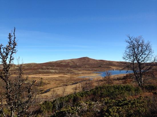
Varied forest terrain, 871 m.a.s.l. Start at the small bridge at the outlet of Myking sea (east peak), follow the blue and red markings along the south side of the hillside Strykjernet to the outcrop. Go right into the forest and follow the trail up toward the hillside Bruslett. The trail crosses a flat marshland (wet), goes downhill a bit until it reaches the car road to Bruset. Follow the car road, stay to the right in the first crossroad and keep going through up the cabin area. Keep to the right at the end of the road, look for signs: Alt. 1. Myking or alt. 2 Gronhovd. Alt. 1. Towards Myking: Walk below the cabins and follow the marked trail to the north end of the lake Mykingsjoen where the brook ends. Cross the brook and follow the marked trail. If you turn left along the right side of the brook, you’ll get to Ranten/Gronhovd. If you go to the right (straight ahead), you’ll get to a cabin area or further up to the road back to start at the small bridge. Alt 2. to Gronhovd. Get off the trail by the sign marked Gronhovd. Beautiful birch forest heights. Starting point: East peak of Myking sea. Parking: Large P-ground in the end of the road. Directions: From Nesbyen up Rukkedalen, get on the road towards Myking (toll bar) at the crossroad by Rukke after appox. 13 km. Follow the road approx. 4 km and take left down to the outlet of the Myking sea. Km: 8,7 km, App. time at normal pace: 1hr 30 min. GPS: hallingkart.no. Skilt: Blue + red color on rocks/trees. Rest stops: The top of Bruset. The end of the brook north of the lake Mykingsjoen. Along the birch forest heights after you get off towards Gronhovd. Hiking map can be bought at the tourist information, bookstore, and tourist businesses.
See a problem?
You might also like

Norway›Brusetrunden
Advertisement