


Geocadd Aerial Surveys
Advertisement
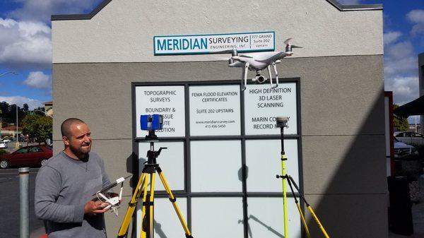
Geocadd Aerial Surveys is a professional consulting business based in Fremont, California, specializing in unmanned aircraft systems for engineers and land surveyors. With over 30 years of experience in digital photogrammetry, the company produces large-scale maps and high-resolution digital orthophotos tailored for engineering design and GIS applications.
The firm offers a range of services, including photogrammetric mapping, digital orthophotos, and LIDAR acquisition, catering to a diverse client base that includes private firms and government agencies. Their advanced technology ensures high-quality outputs, including color and grayscale orthophotos with pixel resolutions from 1 to 5 feet, georeferenced to various datums.
Generated from the website
Also at this address

You might also like
Partial Data by Infogroup (c) 2025. All rights reserved.
Advertisement