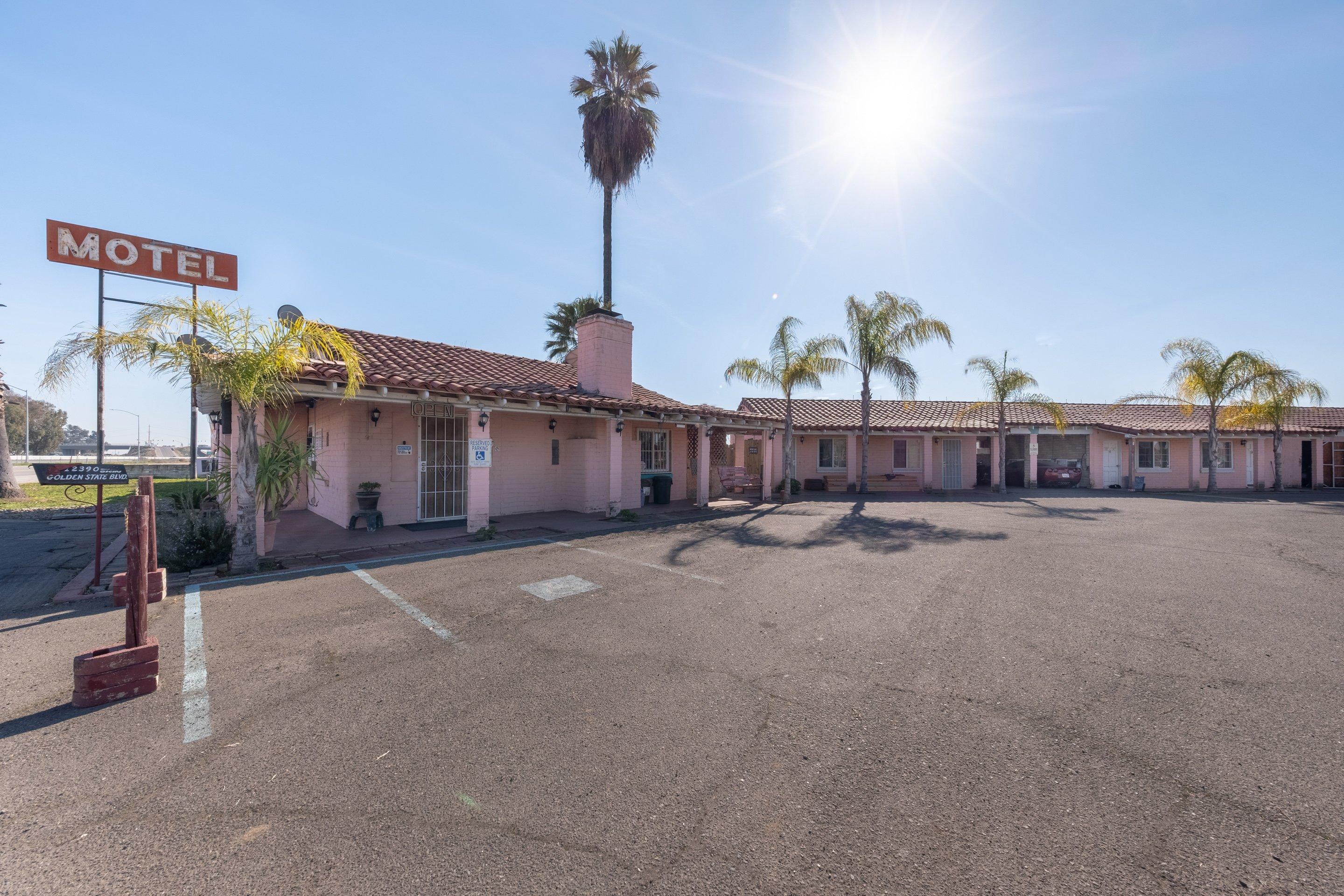
Madera, CA
Advertisement
Bonadelle Ranchos-Madera Ranchos, CA Map
Bonadelle Ranchos-Madera Ranchos is a US city in Madera County in the state of California. Located at the longitude and latitude of -119.886667, 36.936389 and situated at an elevation of 116 meters. In the 2020 United States Census, Bonadelle Ranchos-Madera Ranchos, CA had a population of 8,569 people. Bonadelle Ranchos-Madera Ranchos is in the Pacific Standard Time timezone at Coordinated Universal Time (UTC) -8. Find directions to Bonadelle Ranchos-Madera Ranchos, CA, browse local businesses, landmarks, get current traffic estimates, road conditions, and more.
Bonadelle Ranchos-Madera Ranchos, nestled in the heart of California, is a quaint and serene locale known for its rural charm and close-knit community atmosphere. This unincorporated area offers a respite from the hustle and bustle of urban life, with sprawling landscapes and open spaces that are characteristic of its ranch-style roots. The region is appreciated for its agricultural backdrop, providing a peaceful setting for those who enjoy the tranquility of country living. While it doesn't boast a bustling cityscape, its appeal lies in its simplicity and connection to nature.
Visitors to Bonadelle Ranchos-Madera Ranchos can enjoy a number of outdoor activities, with nearby recreational areas offering opportunities for hiking, horseback riding, and picnicking. The community often gathers for local events and farmers' markets, which highlight the area's agricultural heritage and foster a strong sense of community. While the city itself may not be a hub of historical landmarks or tourist attractions, its history is deeply tied to the development of ranch-style living and the agricultural industry in California, offering a glimpse into the lifestyle that has shaped this tranquil region.
Nearby cities include: Madera Ranchos, CA, Rolling Hills, CA, Madera, CA, Friant, CA, Old Fig Garden, CA, Biola, CA, Madera Acres, CA, Fresno, CA, Clovis, CA, Tarpey, CA.
Places in Madera
Dine and drink
Eat and drink your way through town.
Can't-miss activities
Culture, natural beauty, and plain old fun.
Places to stay
Hang your (vacation) hat in a place that’s just your style.
Advertisement


