Pacifica, CA
Advertisement
Pacifica, CA Map
Pacifica is a US city in San Mateo County in the state of California. Located at the longitude and latitude of -122.485556, 37.622778 and situated at an elevation of 82 meters. In the 2020 United States Census, Pacifica, CA had a population of 38,640 people. Pacifica is in the Pacific Standard Time timezone at Coordinated Universal Time (UTC) -8. Find directions to Pacifica, CA, browse local businesses, landmarks, get current traffic estimates, road conditions, and more.
Pacifica, located along the scenic coastline of California, is renowned for its breathtaking ocean views and rugged coastal beauty. This charming city is a haven for outdoor enthusiasts, offering a variety of recreational activities such as surfing at Linda Mar Beach, hiking the picturesque trails of Mori Point, and exploring the serene paths of San Pedro Valley Park. Pacifica's Rockaway Beach is another popular spot, known for its quaint shops and delightful eateries that offer a taste of the local flavor. The Pacifica Pier is a favored destination for fishing and provides stunning panoramic views of the Pacific Ocean.
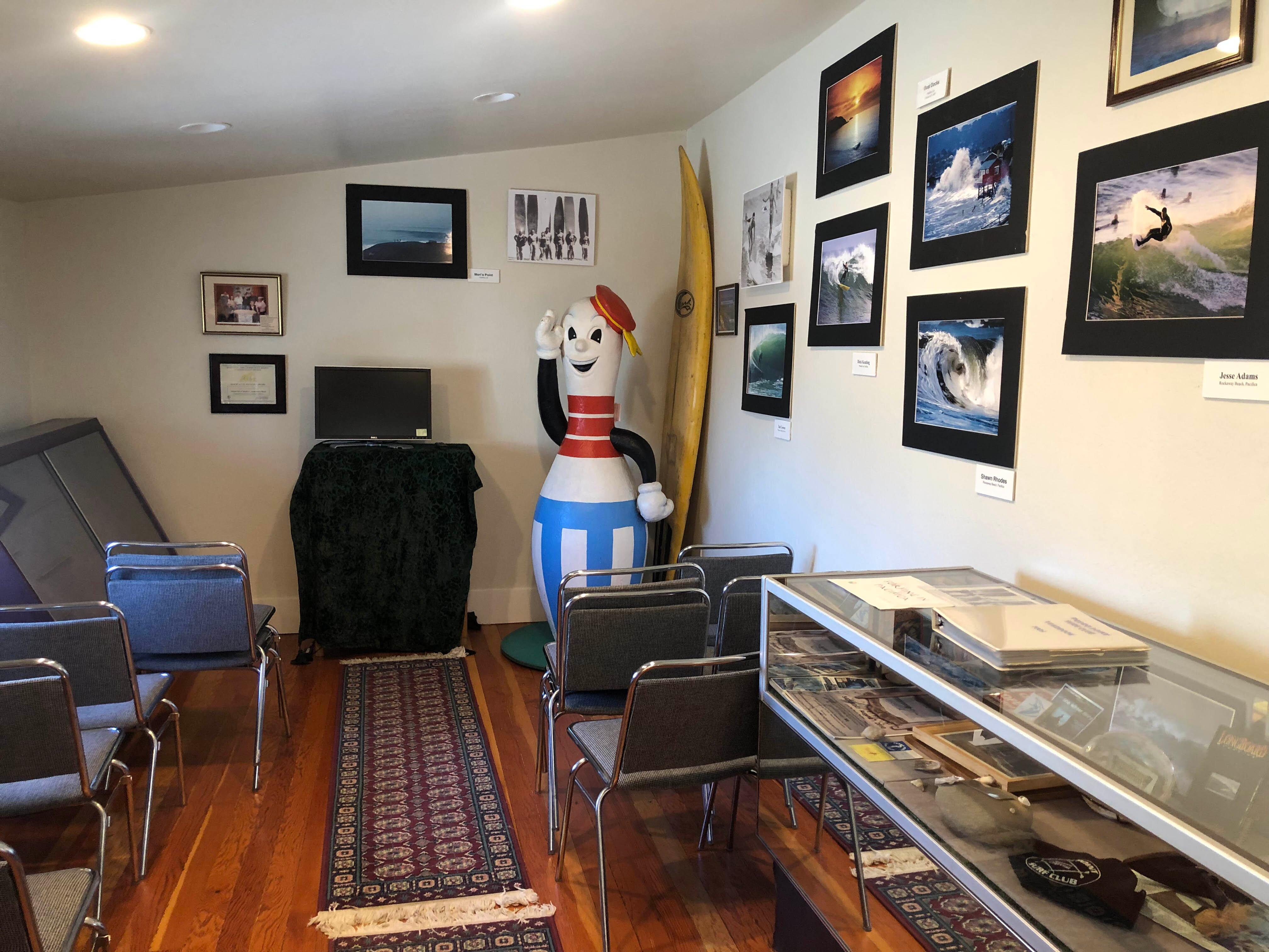
Historically, Pacifica has roots that trace back to the early Spanish explorers, and it has grown into a community that embraces its natural surroundings. The city was incorporated in 1957, merging several small coastal towns into one unified municipality. This blend of historical charm and natural splendor makes Pacifica a unique destination for travelers seeking both adventure and tranquility. The Pacifica Historical Society offers insights into the area's past, preserving the heritage and stories that have shaped this enchanting coastal city.
Nearby cities include: San Bruno, CA, South San Francisco, CA, Colma, CA, Daly City, CA, Broadmoor, CA, Millbrae, CA, Brisbane, CA, Montara, CA, Moss Beach, CA, Burlingame, CA.
Places in Pacifica
Dine and drink
Eat and drink your way through town.
Can't-miss activities
Culture, natural beauty, and plain old fun.
Places to stay
Hang your (vacation) hat in a place that’s just your style.
Advertisement


