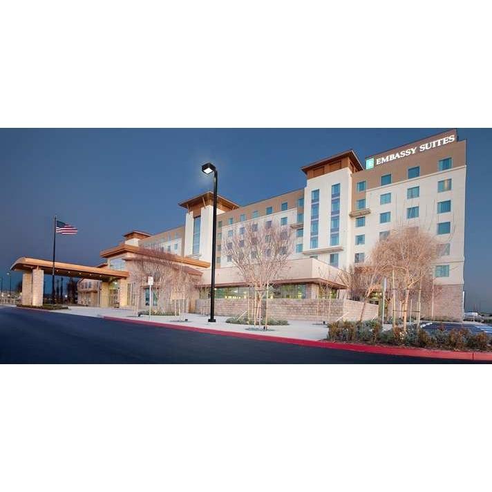
Palmdale, CA
Advertisement
Palmdale, CA Map
Palmdale is a US city in Los Angeles County in the state of California. Located at the longitude and latitude of -118.116460, 34.579430 and situated at an elevation of 810 meters. In the 2020 United States Census, Palmdale, CA had a population of 169,450 people. Palmdale is in the Pacific Standard Time timezone at Coordinated Universal Time (UTC) -8. Find directions to Palmdale, CA, browse local businesses, landmarks, get current traffic estimates, road conditions, and more.
Palmdale, located in the heart of California's High Desert, is primarily known for its aerospace industry roots. The city has earned the nickname "Aerospace Capital of America" due to its historical significance in aircraft development and testing. The presence of companies like Lockheed Martin and Northrop Grumman has cemented its place in aviation history. Visitors to Palmdale can explore the Joe Davies Heritage Airpark, which showcases a collection of retired military aircraft, offering insights into the city's aviation legacy.
Aside from its aerospace connection, Palmdale offers a variety of attractions. The Antelope Valley Mall provides ample shopping opportunities, while the Palmdale Amphitheater hosts concerts and events, drawing both locals and visitors. For outdoor enthusiasts, the nearby Angeles National Forest offers hiking and scenic beauty, while the DryTown Water Park provides seasonal family fun. The city's dedication to arts and culture is evident in the Palmdale Playhouse, where community theater productions and events are regularly held, making it a vibrant hub for both residents and visitors alike.
Nearby cities include: Desert View Highlands, CA, Lancaster, CA, Littlerock, CA, Acton, CA, Leona Valley, CA, Lake Los Angeles, CA, Green Valley, CA, Lake Hughes, CA, Rosamond, CA, Edwards AFB, CA.
Map of Palmdale, CA

Places in Palmdale
Dine and drink
Eat and drink your way through town.
Can't-miss activities
Culture, natural beauty, and plain old fun.
Places to stay
Hang your (vacation) hat in a place that’s just your style.
Advertisement


