Pine Valley, CA
Advertisement
Pine Valley, CA Map
Pine Valley is a US city in San Diego County in the state of California. Located at the longitude and latitude of -116.529180, 32.821440 and situated at an elevation of 1,139 meters. In the 2020 United States Census, Pine Valley, CA had a population of 1,645 people. Pine Valley is in the Pacific Standard Time timezone at Coordinated Universal Time (UTC) -8. Find directions to Pine Valley, CA, browse local businesses, landmarks, get current traffic estimates, road conditions, and more.
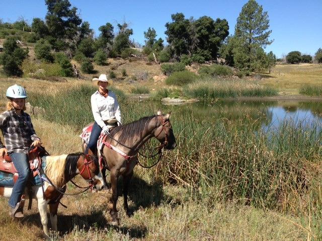
Pine Valley, nestled in the heart of California, is a quaint and picturesque community known for its serene natural beauty and outdoor recreational opportunities. This charming locale is surrounded by lush forests and rolling hills, making it a haven for hikers, nature enthusiasts, and anyone seeking a peaceful retreat from the hustle and bustle of city life. The Pine Valley Regional Park is a standout attraction, offering numerous trails that meander through the stunning landscape, providing breathtaking views and a chance to experience the local flora and fauna up close. The area is also known for its vibrant arts scene, with local galleries and craft shops showcasing the work of talented artisans who draw inspiration from the natural surroundings.
Historically, Pine Valley has been a hub for those seeking solace and inspiration in nature, with its roots tracing back to early settlers who were drawn to the area's idyllic setting. The town's history is reflected in its well-preserved architecture and the charming Pine Valley Museum, which offers insights into the area's past through a collection of artifacts and exhibits. Visitors can also enjoy the local farmers' market, which provides a taste of the region's agricultural bounty with fresh produce and artisanal goods. Whether you're exploring its scenic trails or delving into its rich history, Pine Valley offers a unique blend of tranquility and cultural richness.
Nearby cities include: Descanso, CA, Mount Laguna, CA, Alpine, CA, Campo, CA, Potrero, CA, Julian, CA, Boulevard, CA.
Places in Pine Valley
Dine and drink
Eat and drink your way through town.
Can't-miss activities
Culture, natural beauty, and plain old fun.
Places to stay
Hang your (vacation) hat in a place that’s just your style.
Advertisement


