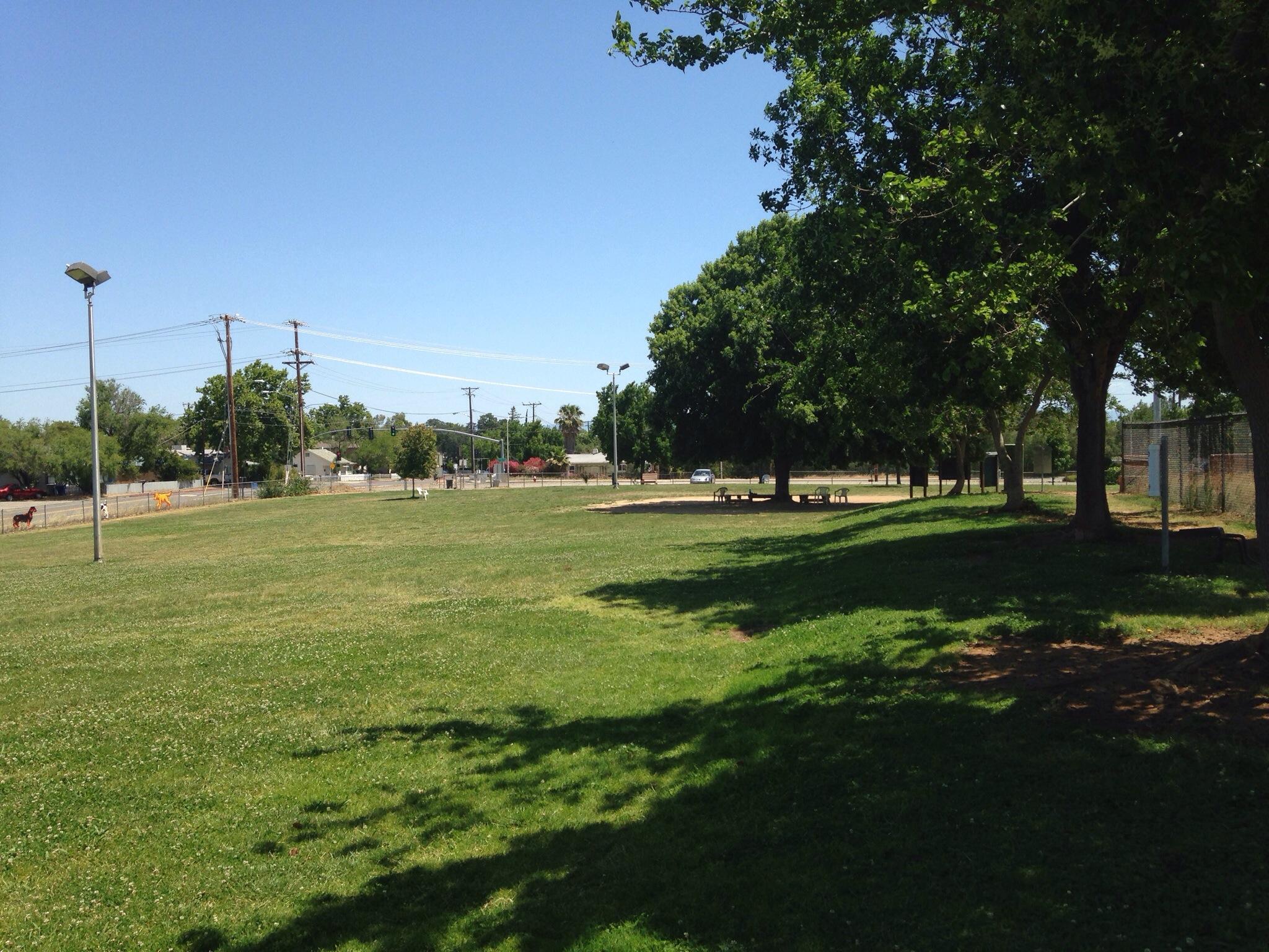
Shasta, CA
Advertisement
Mount Shasta, CA Map
Mount Shasta is a US city in Shasta County in the state of California. Located at the longitude and latitude of -122.311389, 41.314444 and situated at an elevation of 3,586 meters. In the 2020 United States Census, Mount Shasta, CA had a population of 3,223 people. Mount Shasta is in the Pacific Standard Time timezone at Coordinated Universal Time (UTC) -8. Find directions to Mount Shasta, CA, browse local businesses, landmarks, get current traffic estimates, road conditions, and more.
Mount Shasta, located in Northern California, is a city renowned for its stunning natural beauty and spiritual significance. Dominated by the imposing presence of Mount Shasta itself, a potentially active stratovolcano, the city is a haven for outdoor enthusiasts and spiritual seekers alike. This picturesque city is known for its breathtaking landscapes, which offer opportunities for hiking, skiing, and mountain climbing. The mountain is often enveloped in mystical lore, drawing those interested in metaphysical and New Age experiences. Visitors often explore the Mount Shasta City Park, home to the headwaters of the Sacramento River, and the nearby Shasta-Trinity National Forest, which offers a multitude of trails and scenic vistas.
The city's history is deeply connected to the indigenous peoples who regarded Mount Shasta as a sacred place long before European settlers arrived. During the Gold Rush era, the area saw an influx of settlers, which contributed to its development. Today, Mount Shasta maintains its charm with a quaint downtown area featuring local shops, galleries, and restaurants that reflect its vibrant artistic community. The city's unique blend of natural wonders and cultural mystique makes it a compelling destination for those seeking both adventure and spiritual renewal.
Nearby cities include: Dunsmuir, CA, Weed, CA, McCloud, CA, Castella, CA, Gazelle, CA, Grenada, CA, Big Bend, CA, Lakehead, CA, Montague, CA, Trinity Center, CA.
Places in Shasta
Dine and drink
Eat and drink your way through town.
Can't-miss activities
Culture, natural beauty, and plain old fun.
Places to stay
Hang your (vacation) hat in a place that’s just your style.
Advertisement


