


Conyers, GA
Advertisement
Conyers, GA Map
Conyers is a US city in Rockdale County in the state of Georgia. Located at the longitude and latitude of -84.007500, 33.666400 and situated at an elevation of 274 meters. In the 2020 United States Census, Conyers, GA had a population of 17,305 people. Conyers is in the Eastern Standard Time timezone at Coordinated Universal Time (UTC) -5. Find directions to Conyers, GA, browse local businesses, landmarks, get current traffic estimates, road conditions, and more.
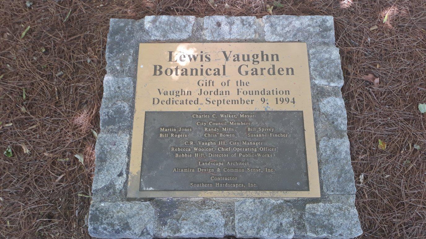
Conyers, Georgia, is a city renowned for its charming blend of Southern hospitality and historical allure. Established in the mid-19th century, Conyers offers a glimpse into the past with its well-preserved architecture and vibrant historical district. One of the city's most notable sites is the Monastery of the Holy Spirit, a Trappist monastery that provides a serene retreat with its beautiful grounds and spiritual ambiance. Visitors can explore the monastery's unique, historic architecture and enjoy the peaceful gardens and trails.
In addition to its historical significance, Conyers is known for the Georgia International Horse Park, which gained fame as a venue for the equestrian events during the 1996 Olympics. Today, the park hosts a variety of events, including equestrian competitions, festivals, and concerts. The city's Olde Town Conyers district is a popular destination for dining and shopping, offering a range of local boutiques, eateries, and seasonal events. Conyers also serves as a backdrop for numerous film and television productions, adding a touch of Hollywood to its Southern charm.
Nearby cities include: Lithonia, GA, Oxford, GA, Porterdale, GA, Covington, GA, Walnut Grove, GA, Jersey, GA, Snellville, GA, Loganville, GA, Stone Mountain, GA, Pine Lake, GA.
Places in Conyers
Dine and drink
Eat and drink your way through town.


Can't-miss activities
Culture, natural beauty, and plain old fun.


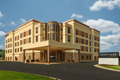
Places to stay
Hang your (vacation) hat in a place that’s just your style.


Advertisement