


Lester, IA
Advertisement
Lester, IA 51242
Lester Map
Lester is a city in Lyon County, Iowa, United States. The population was 251 at the 2000 census.
Lester's longitude and latitude coordinates
in decimal form are 43.437475, -96.333322.
According to the United States Census Bureau, the city has a total area of 1.8 square miles (4.7 km²), all of it land.
Nearby cities include Inwood, Valley Springs, Doon, Beaver Creek, Canton.
Places in Lester
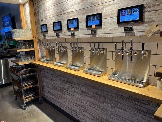
Dine and drink
Eat and drink your way through town.


Can't-miss activities
Culture, natural beauty, and plain old fun.

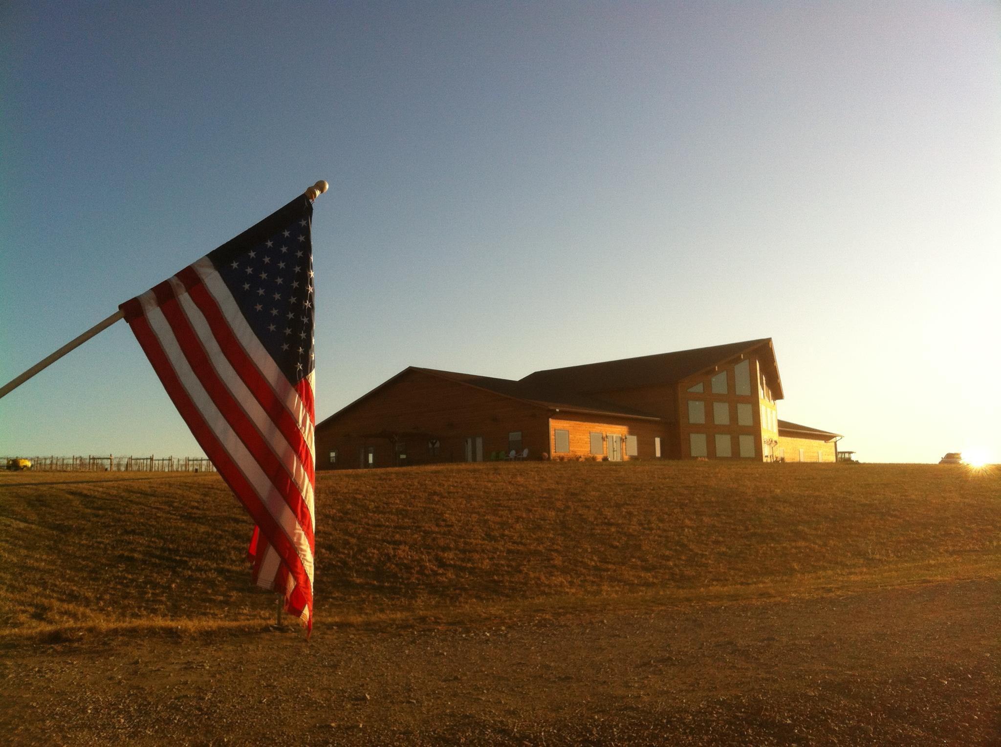

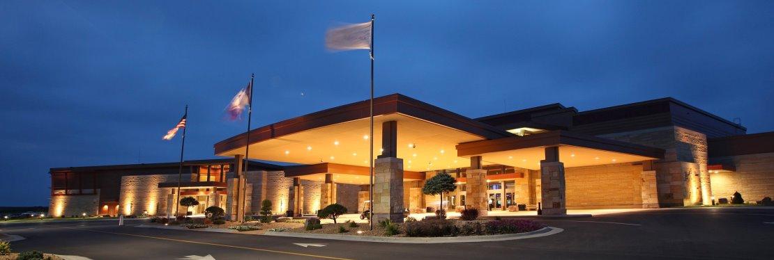
Places to stay
Hang your (vacation) hat in a place that’s just your style.
See a problem?
Advertisement