


Rowley, IA
Advertisement
Rowley, IA 52329
Rowley Map
Rowley is a city in Buchanan County, Iowa, United States. The population was 290 at the 2000 census.
Rowley is located at 42°22?6?N 91°50?42?W / 42.36833°N 91.845°W / 42.36833; -91.845 (42.368380, -91.845015).
According to the United States Census Bureau, the city has a total area of 0.4 square miles (0.9 km²), all of it land.
Nearby cities include Urbana, Center Point, Jesup, Hazleton, Coggon.
Places in Rowley
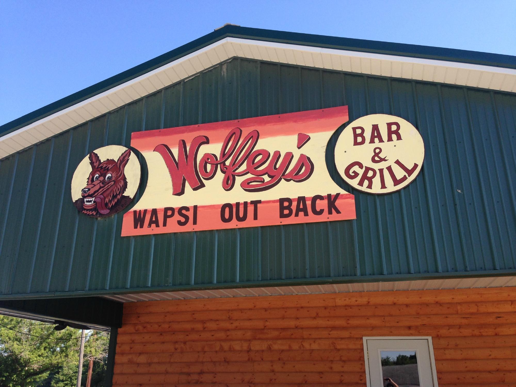
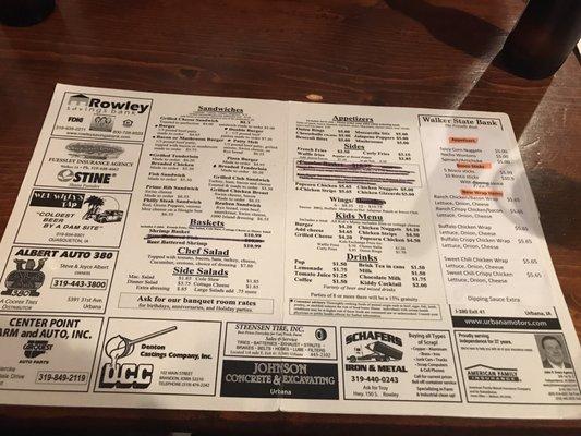
Dine and drink
Eat and drink your way through town.


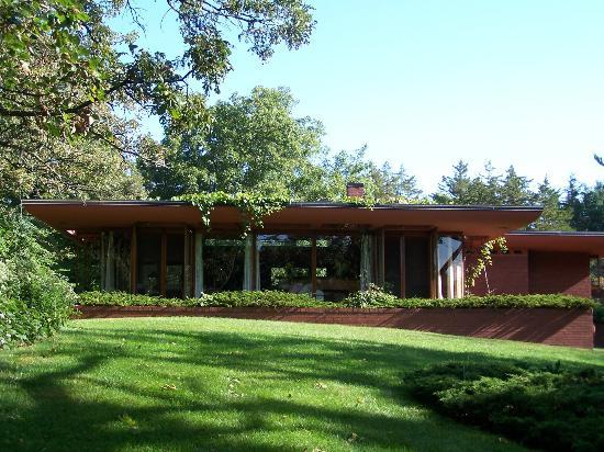
Can't-miss activities
Culture, natural beauty, and plain old fun.


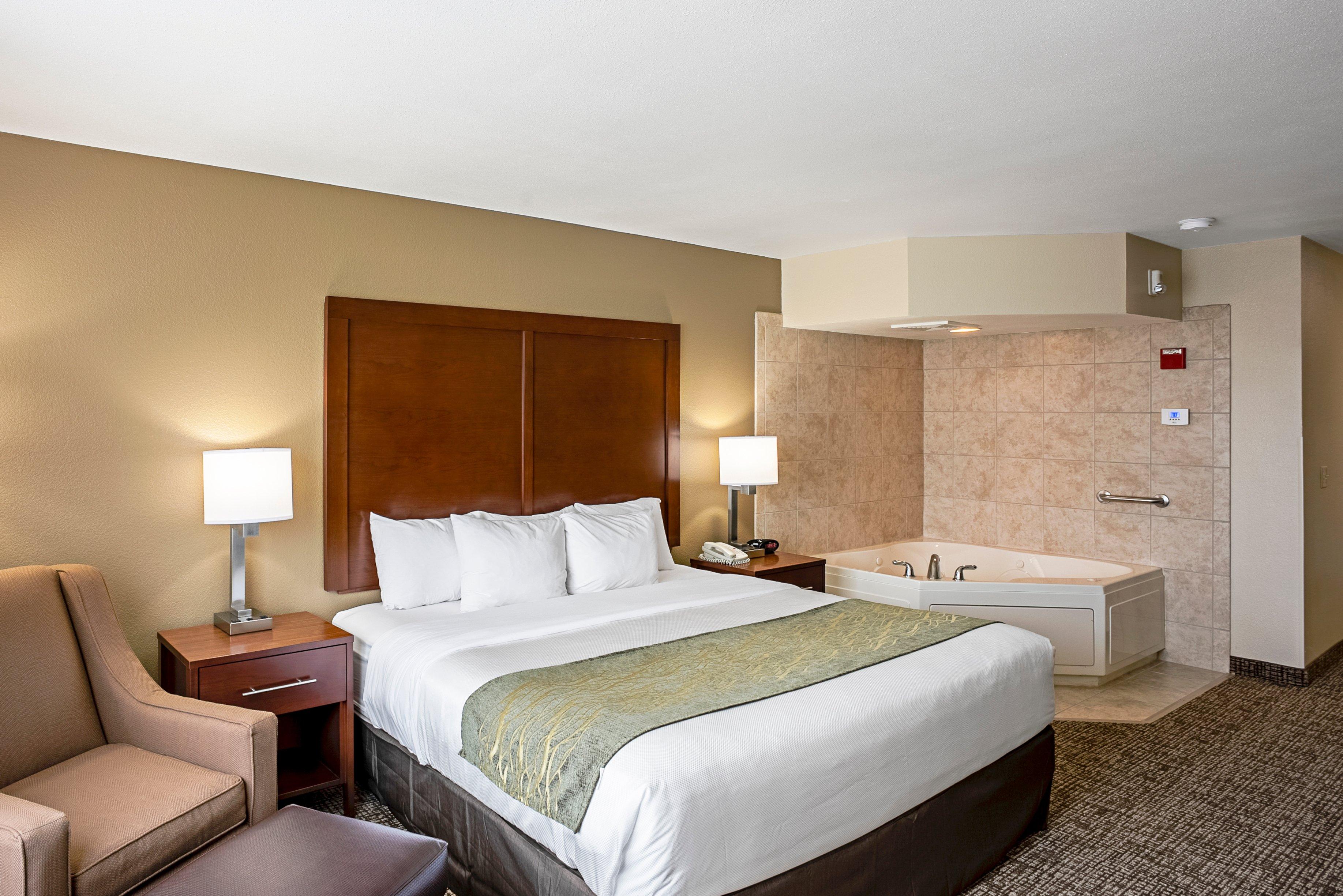
Places to stay
Hang your (vacation) hat in a place that’s just your style.


See a problem?
Advertisement