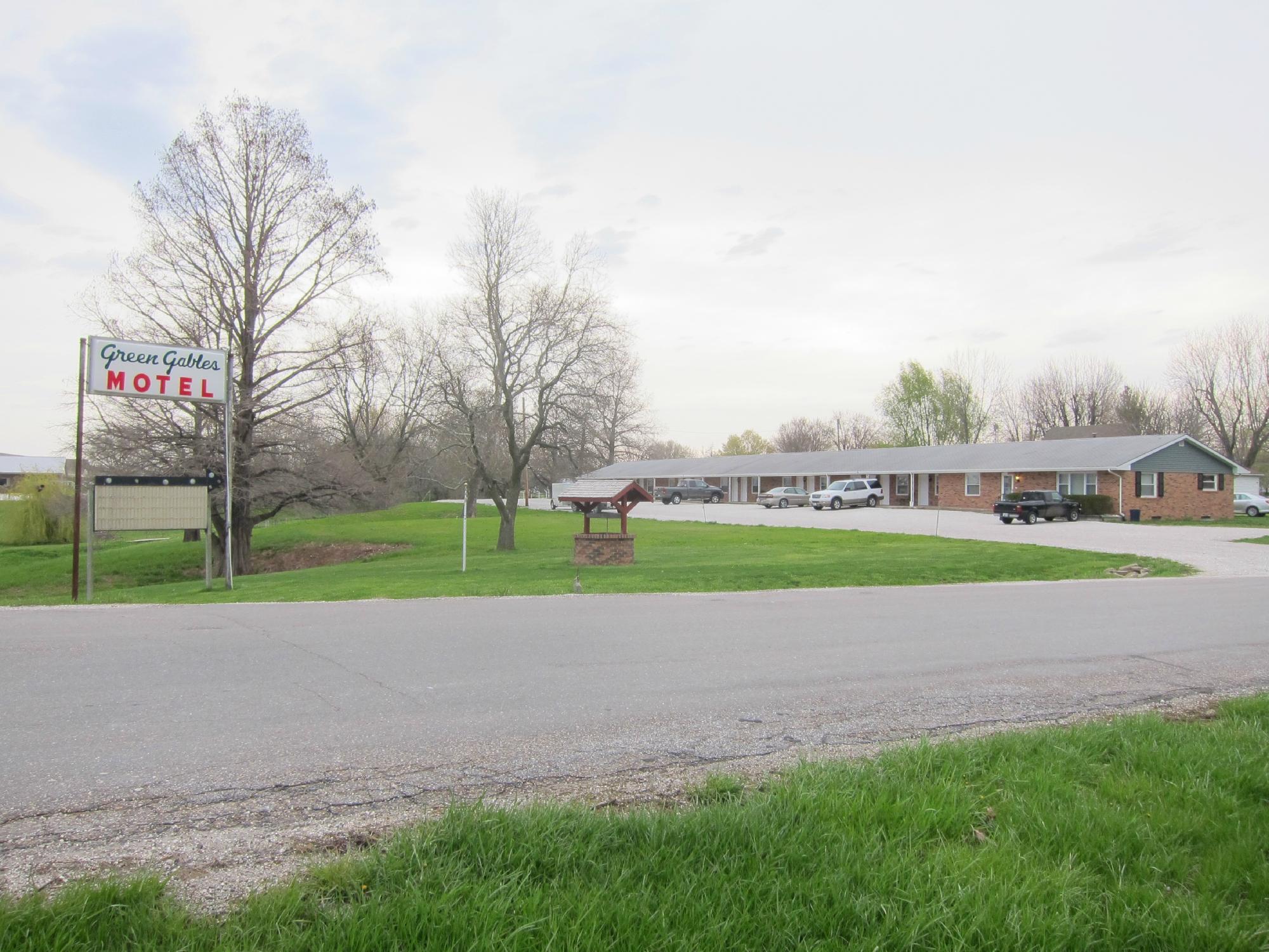
Mount Sterling, IL
Advertisement
Mount Sterling, IL Map
Mount Sterling is a US city in Brown County in the state of Illinois. Located at the longitude and latitude of -90.764115, 39.985353 and situated at an elevation of 224 meters. In the 2020 United States Census, Mount Sterling, IL had a population of 2,006 people. Mount Sterling is in the Central Standard Time timezone at Coordinated Universal Time (UTC) -6. Find directions to Mount Sterling, IL, browse local businesses, landmarks, get current traffic estimates, road conditions, and more.
Mount Sterling, located in the heartland of Illinois, is a city that offers a charming slice of Midwestern life. Known primarily for its rich agricultural roots, Mount Sterling embodies the quintessential small-town atmosphere with a strong sense of community and history. Visitors often appreciate the serene landscapes and the slower pace of life that this city provides. A point of interest in Mount Sterling is the Mount Sterling Historic District, where one can explore various buildings that reflect the architectural styles and historical significance of the area. These structures offer a glimpse into the past and showcase the city's development over time.
For those interested in outdoor activities, Mount Sterling offers access to nearby parks and recreational areas, providing opportunities for hiking, picnicking, and enjoying the natural beauty of the region. The city's history is deeply intertwined with the agricultural industry, and this heritage is celebrated through local events and community gatherings. Whether you're passing through or planning a longer stay, Mount Sterling provides a quaint and inviting atmosphere, making it a worthwhile stop for anyone exploring the state of Illinois.
Nearby cities include: Missouri, IL, Timewell, IL, Pea Ridge, IL, Ripley, IL, Elkhorn, IL, Versailles, IL, Woodstock, IL, Clayton, IL, Camden, IL, Clayton, IL.
Places in Mount Sterling
Dine and drink
Eat and drink your way through town.
Can't-miss activities
Culture, natural beauty, and plain old fun.
Places to stay
Hang your (vacation) hat in a place that’s just your style.
Advertisement


