Advertisement

Advertisement

HotelsFoodShoppingCoffeeGroceryGas

Howe, IN

Advertisement

Advertisement

Howe, IN 46746

Howe Map

Howe is an unincorporated town in Lima Township, LaGrange County, Indiana.

Sites in Howe on the National Register of Historic Places are:

Howe is located at 41°43?17?N 85°25?14?W / 41.72139°N 85.42056°W / 41.72139; -85.42056 at the intersection of State Road 120 and State Road 9. It is approximately three miles south of the IN US 80/90 toll road and five miles north of LaGrange.

Nearby cities include Burr Oak, White Pigeon, Orland, Topeka, Wolcottville.

Places in Howe

Dine and drink

Eat and drink your way through town.

Photo by ConnieBR

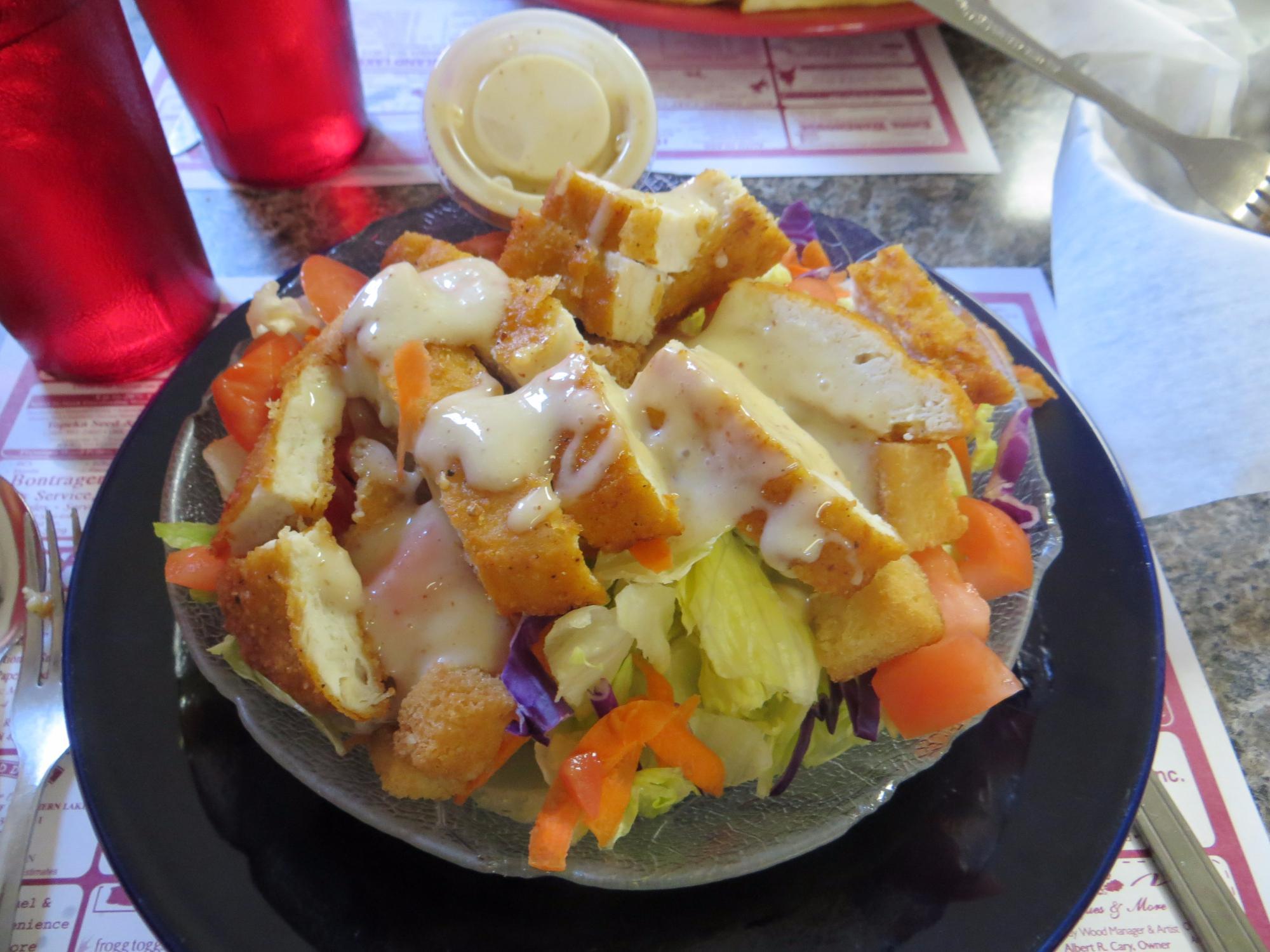
The Gathering Place Restaurant

11

$

Photo by drbobd

Howe Restaurant

129

$

LOGO

Krispy Krunchy Chicken

Photo by Casey F

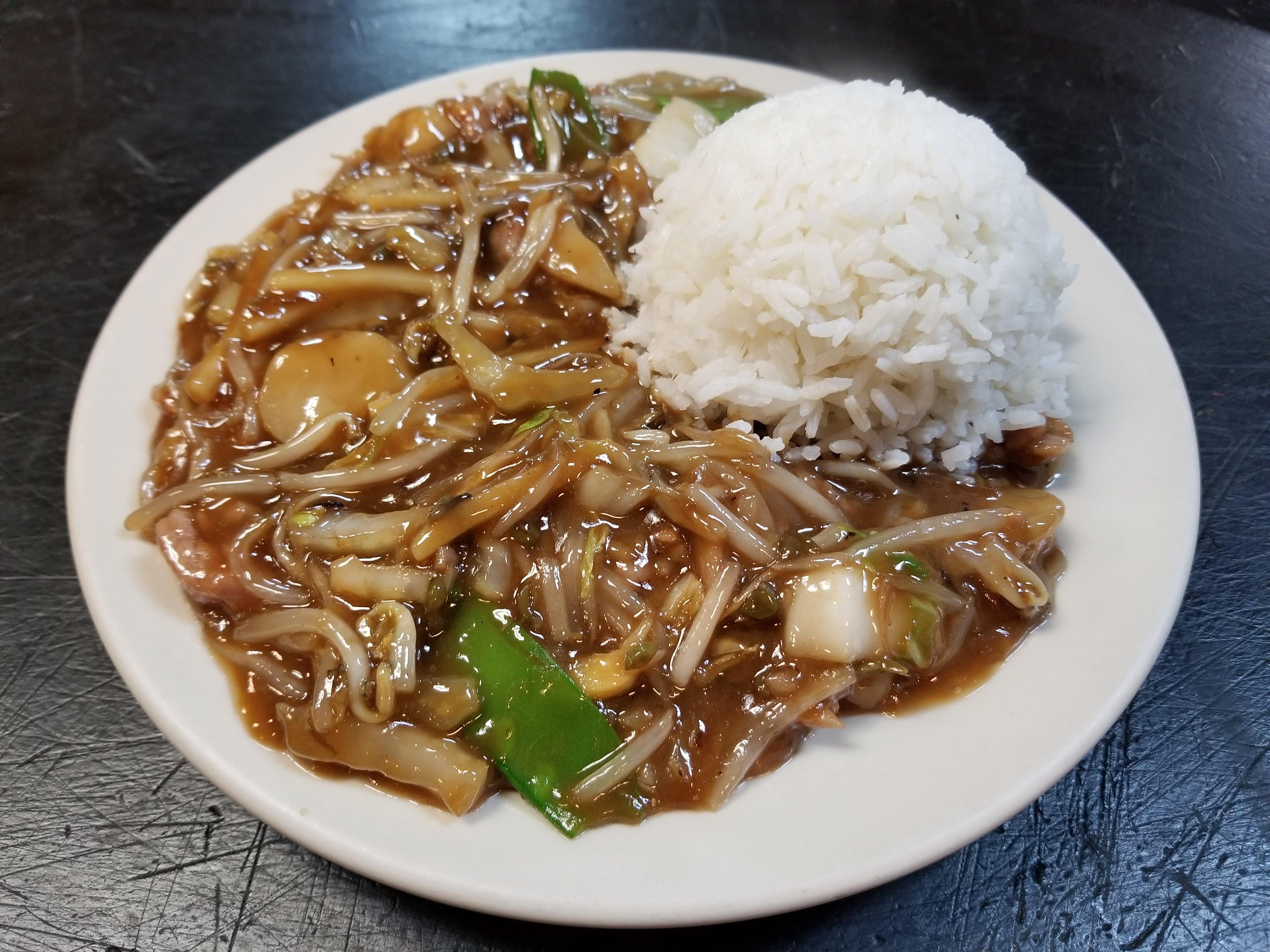
Golden Buddha

30

$

Can't-miss activities

Culture, natural beauty, and plain old fun.

Bed bug eggs

Cade Lake County Park

2

Places to stay

Hang your (vacation) hat in a place that’s just your style.

Photo by hrcalso

Patriot Inn

1

$

LOGO

Twin Mills Campground

Photo by Management

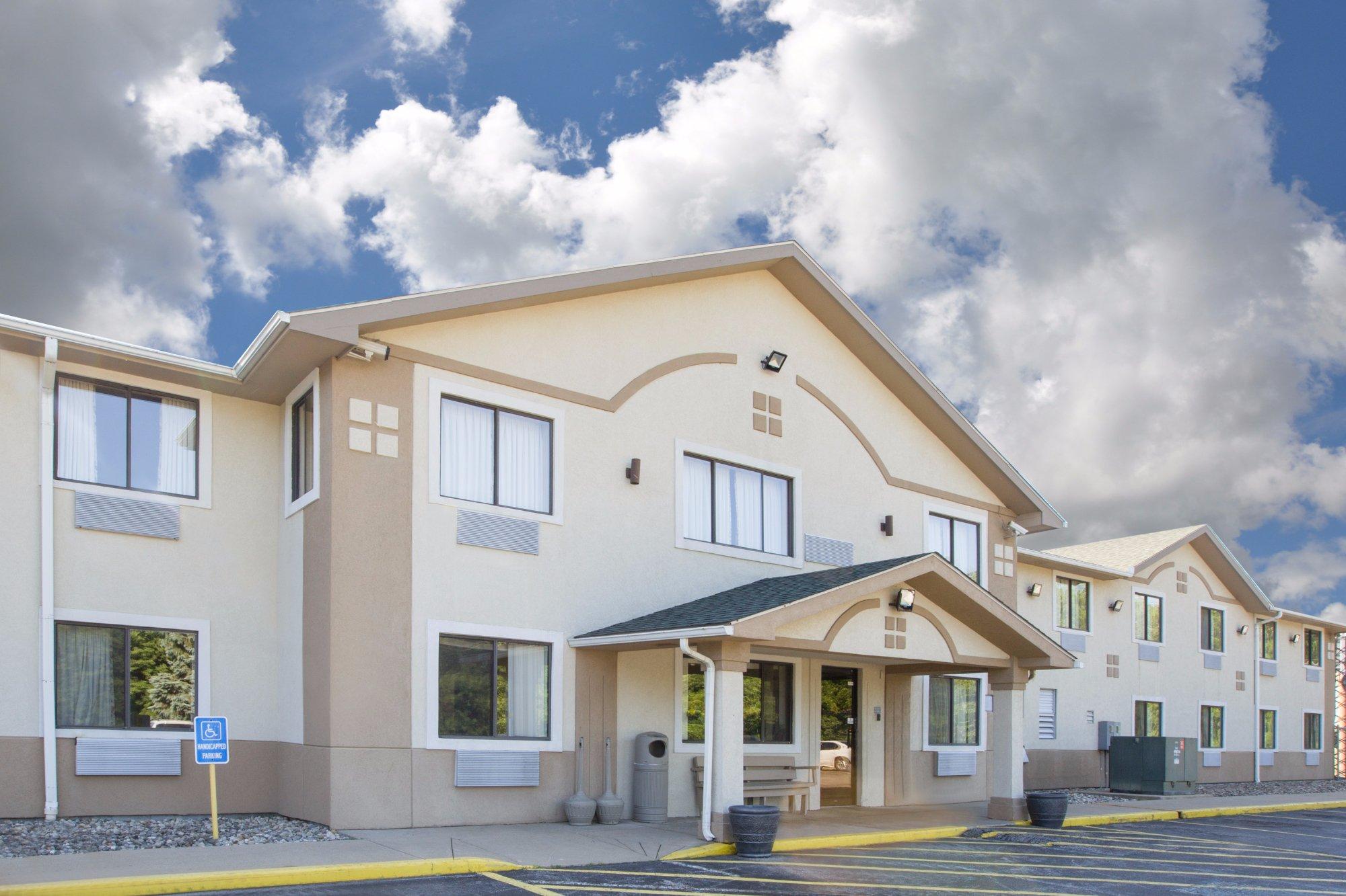
Super 8 By Wyndham Howe

387

Holiday Inn Express Howe

17

$$

See a problem?
United States›Indiana›Howe, IN

Advertisement

Advertisement

  • Get directions
  • MapQuest Travel
  • Route Planner
  • Print your map
  • Get help
  • Search the web
  • Send feedback
Learn more about our mobile apps.
  • Android app Google Play
  • Download on the App Store
  • Download on the Amazon Appstore
  • Enterprise solutions
  • Claim your business
  • Developer resources
  • Jobs
  • Advertise with us
  • Terms of use
  • Privacy policy
  • Data and licenses
  • About our ads
  • Do not sell