Advertisement

Advertisement

Hotels
Hotels
Food
Food
Shopping
Shopping
Coffee
Coffee
Grocery
Grocery
Gas
Gas

Lowell, IN

Advertisement

Advertisement

Lowell, IN 46356

Lowell Map

Lowell is a small developing town in West Creek and Cedar Creek townships, Lake County, Indiana, United States. The population was 9,276 at the 2010 census.

Lowell is located at 41°18?N 87°25?W / 41.3°N 87.417°W / 41.3; -87.417 (41.2924, -87.4151).

According to the United States Census Bureau, the town has a total area of 4.2 square miles (10.8 km²), of which, 4.1 square miles (10.6 km²) of it is land and 0.1 square miles (0.2 km²) of it (1.92%) is water.

Nearby cities include Lake Village, Roselawn, Hebron, Beecher, Grant Park.

Places in Lowell

Dine and drink

Eat and drink your way through town.

Chicken and Waffle Fries

Bennetts Pub & Play

4
Italian Beef & Gyro sandwich with Spinach Pie

Athens Grill

35

$

Photo by MrWarrenM

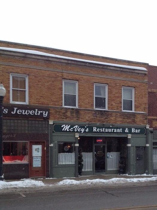
McVey's Restaurant

118

$$

Photo by Management

Old Dog Coffee House

33

$

Can't-miss activities

Culture, natural beauty, and plain old fun.

Pickleball Court Photo #4

Freedom Park

Knowledge is Power

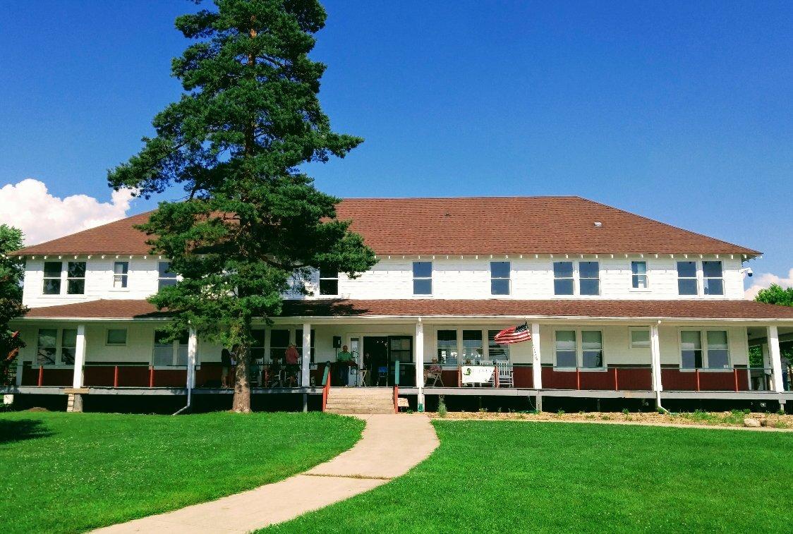
Buckley Homestead County Park

6

Places to stay

Hang your (vacation) hat in a place that’s just your style.

Photo by BradleyClampitt

Thyme For Bed

10
Photo by tinman273

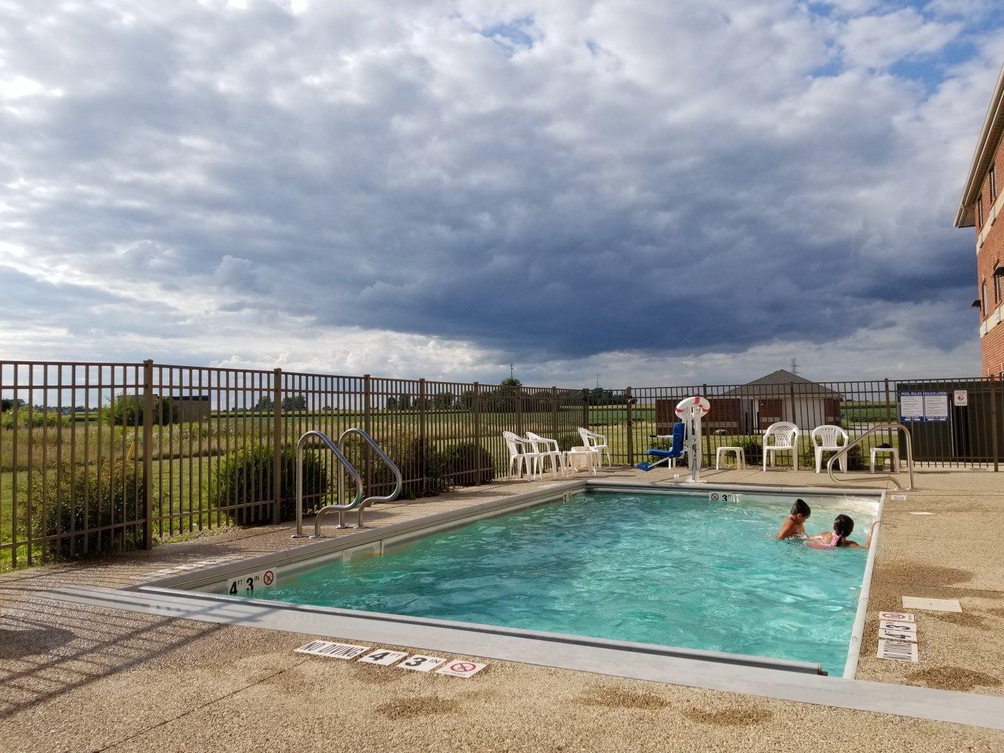
Comfort Inn Hebron - Lowell area

132
Photo by H8879TZdeborahm

Emerald Trails Campground

11
GALLERY

Hampton Inn Crown Point

10
See a problem?
United States›Indiana›Lowell, IN

Advertisement

Advertisement

  • Get directions
  • MapQuest Travel
  • Route Planner
  • Print your map
  • Get help
  • Search the web
  • Send feedback
Learn more about our mobile apps.
  • Android app Google Play
  • Download on the App Store
  • Download on the Amazon Appstore
  • Enterprise solutions
  • Claim your business
  • Developer resources
  • Jobs
  • Advertise with us
  • Terms of use
  • Privacy policy
  • Data and licenses
  • About our ads
  • Do not sell