Whiteland, IN
Advertisement
New Whiteland, IN Map
New Whiteland is a US city in Johnson County in the state of Indiana. Located at the longitude and latitude of -86.095260, 39.558100 and situated at an elevation of 246 meters. In the 2020 United States Census, New Whiteland, IN had a population of 5,550 people. New Whiteland is in the Eastern Standard Time timezone at Coordinated Universal Time (UTC) -5. Find directions to New Whiteland, IN, browse local businesses, landmarks, get current traffic estimates, road conditions, and more.
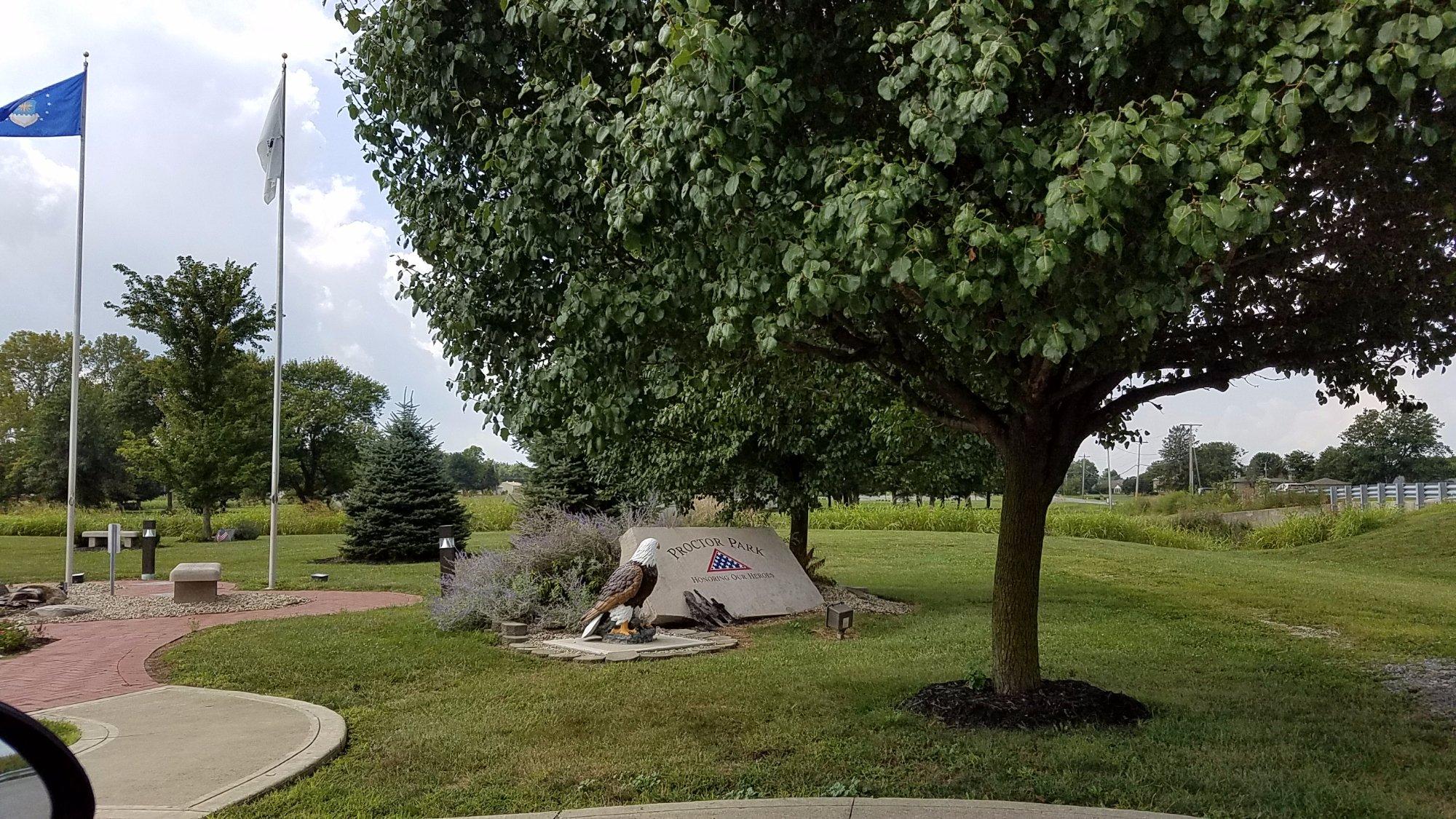
New Whiteland, Indiana, is a small town known for its tight-knit community and suburban charm. It offers a peaceful environment with a touch of rural ambiance, making it an attractive place for families and those seeking a slower pace of life. The town is primarily residential, with a few local businesses and dining options that cater to the needs of its residents. One of the town's notable features is its community parks, such as Proctor Park, which provides open spaces for recreation and family gatherings. The town's annual events, like holiday parades and local festivals, foster a strong sense of community and tradition.
Historically, New Whiteland has its roots in the mid-20th century, having been established in the post-World War II era as suburban development expanded. While it does not boast historic landmarks or tourist attractions, its history is reflected in the steady growth and development seen over the decades. The town's development is characterized by the typical post-war suburban expansion seen across the United States, with residential neighborhoods and local amenities designed to accommodate the growing population of the time. Today, New Whiteland continues to thrive as a welcoming community, offering a blend of modern living with a nod to its mid-century origins.
Nearby cities include: Whiteland, IN, Greenwood, IN, Bargersville, IN, Franklin, IN, Waterloo, IN, Clark, IN, Needham, IN, Southport, IN, Union, IN, Homecroft, IN.
Places in Whiteland
Dine and drink
Eat and drink your way through town.
Can't-miss activities
Culture, natural beauty, and plain old fun.
Places to stay
Hang your (vacation) hat in a place that’s just your style.
Advertisement


