Advertisement

Advertisement

HotelsFoodShoppingCoffeeGroceryGas

Bloomfield, IA

Advertisement

Advertisement

Bloomfield, IA 52537

Bloomfield Map

Bloomfield is a city in Davis County, Iowa, United States. The population was 2,601 at the 2000 census. It is the county seat of Davis County.

Bloomfield is located in the southeastern part of Iowa near the Missouri border.

Bloomfield's longitude and latitude coordinates

in decimal form are 40.751122, -92.417007.

According to the United States Census Bureau, the city has a total area of 2.3 square miles (6.0 km²), of which, 2.3 square miles (5.9 km²) of it is land and 0.04 square miles (0.1 km²) of it (1.30%) is water.

Nearby cities include Moulton, Milton, Eldon, Lancaster, Agency.

Places in Bloomfield
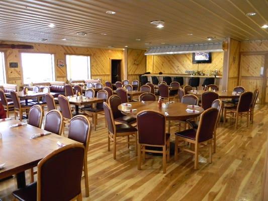
Dine and drink

Eat and drink your way through town.

Sunday 16.00 ribeye steak Oct 2024

Slicks

3
Photo by jeduweb

CJ's Family Restaurant

10

$

Guac.. odd consistency

Tequila Grill - Bloomfield

3

Subway

1

$

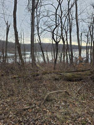
Can't-miss activities

Culture, natural beauty, and plain old fun.
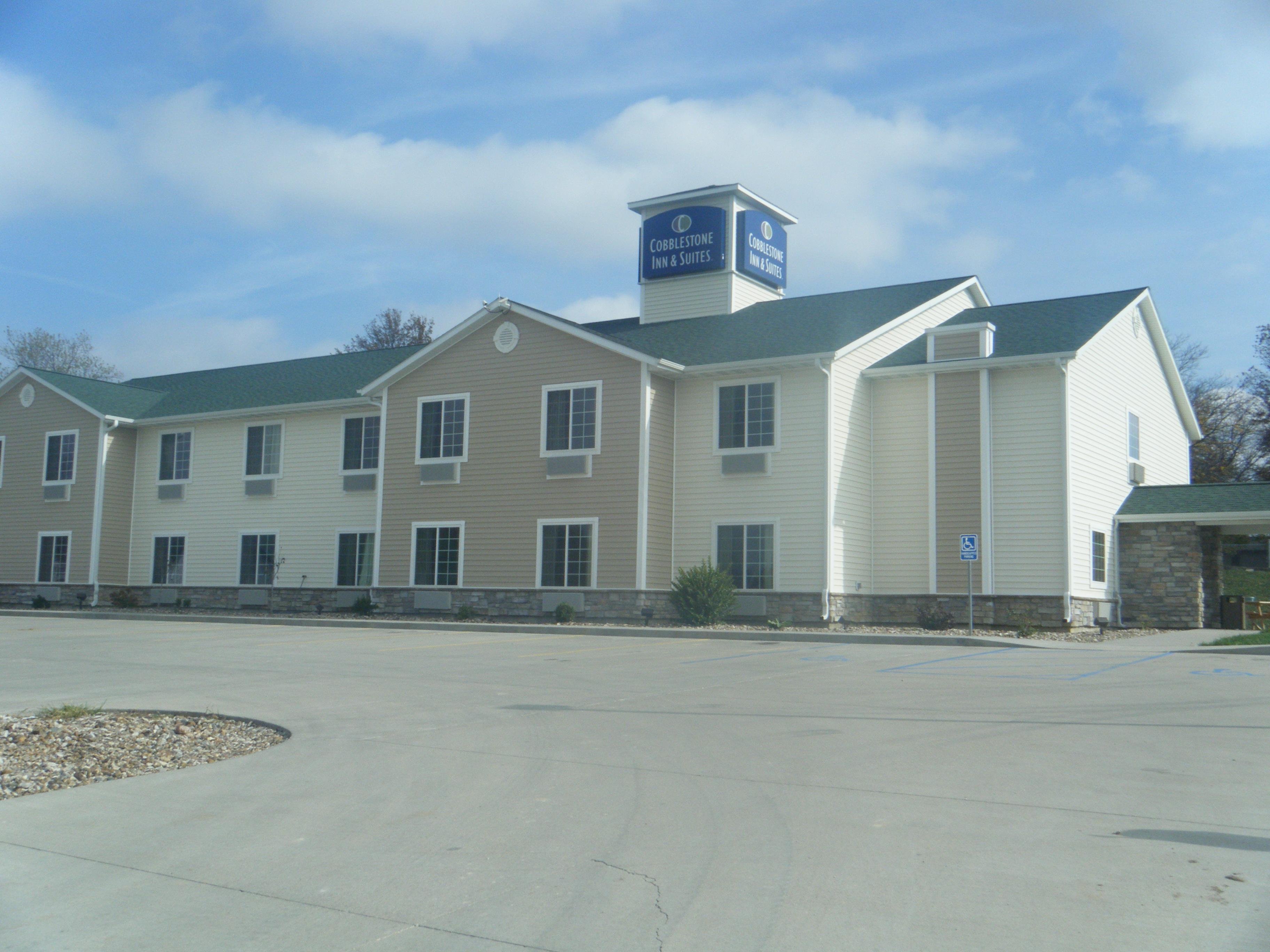
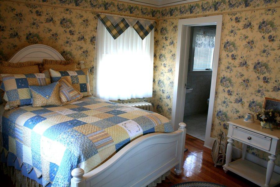
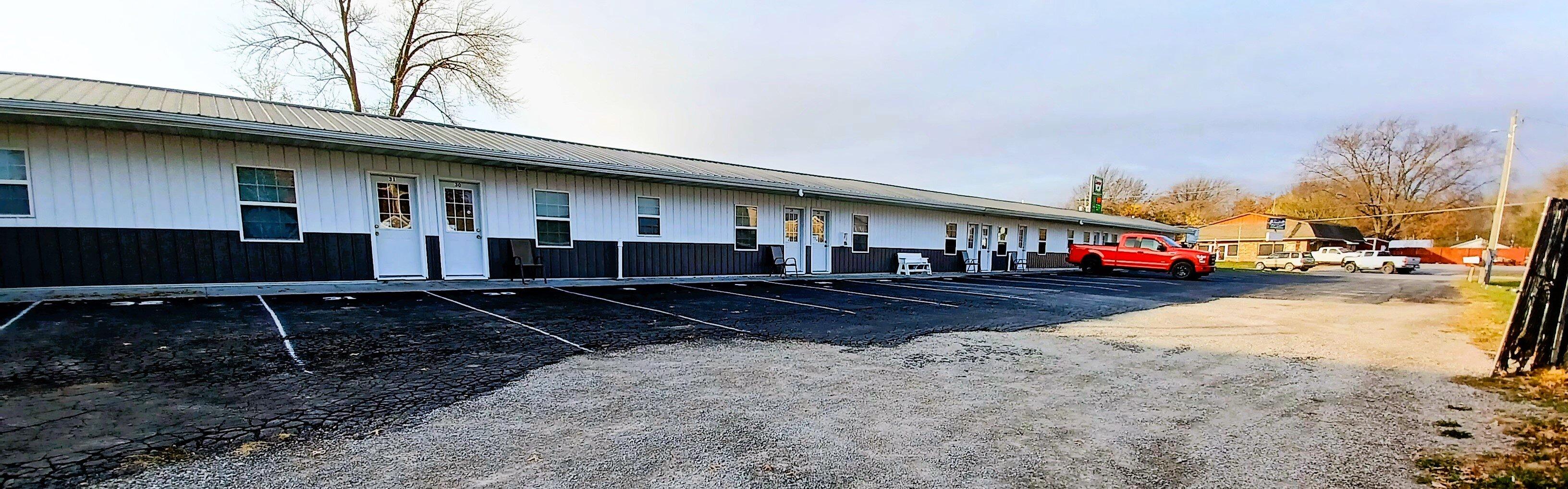
Exterior - located on the town square

Iowa Theatre

Pioneer Ridge Nature Preserve

Architectural detail

McHaffey Opera House

Welcome to Eldon!

American Gothic House & Center

20

Places to stay

Hang your (vacation) hat in a place that’s just your style.

Photo by Management

Cobblestone Inn & Suites - Bloomfield

2
Photo by Management

Greenleaf Place Bed & Breakfast

2
Photo by Management

Mustang Country Lodging

3

$

Southfork Motel and Grill

27

$

See a problem?
United States›Iowa›Bloomfield, IA

Advertisement

Advertisement

  • Get directions
  • MapQuest Travel
  • Route Planner
  • Print your map
  • Get help
  • Search the web
  • Send feedback
Learn more about our mobile apps.
  • Android app Google Play
  • Download on the App Store
  • Download on the Amazon Appstore
  • Enterprise solutions
  • Claim your business
  • Developer resources
  • Jobs
  • Advertise with us
  • Terms of use
  • Privacy policy
  • Data and licenses
  • About our ads
  • Do not sell