


Webb, IA
Advertisement
Webb, IA 51366
Webb Map
Webb is a city in Clay County, Iowa, United States. The population was 141 in the 2010 census, a decline from 165 in the 2000 census.
Webb's longitude and latitude coordinates
in decimal form are 42.948134, -95.012281.
According to the United States Census Bureau, the city has a total area of 0.5 square miles (1.3 km²), all of it land.
Nearby cities include Ayrshire, Laurens, Rembrandt, Albert City, Linn Grove.
Places in Webb
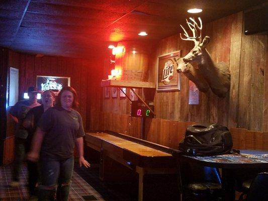
Dine and drink
Eat and drink your way through town.


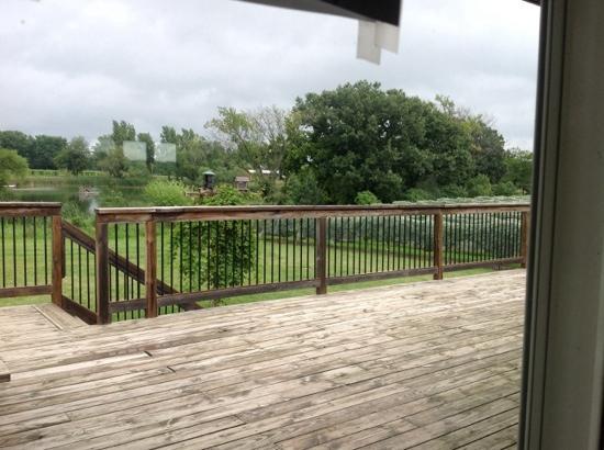
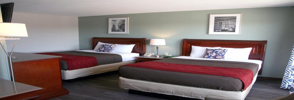
Places to stay
Hang your (vacation) hat in a place that’s just your style.


See a problem?
Advertisement