


Beverly, KS
Advertisement
Beverly Map
Beverly is a city in Lincoln County, Kansas, United States. As of the 2010 census, the city population was 162.
Beverly is located at 39°0?53?N 97°58?29?W / 39.01472°N 97.97472°W / 39.01472; -97.97472 (39.014831, -97.974772). According to the United States Census Bureau, the city has a total area of 0.2 square miles (0.5 km²), all of it land.
As of the census of 2000, there were 199 people, 73 households, and 55 families residing in the city. The population density was 989.8 people per square mile (384.2/km²). There were 88 housing units at an average density of 437.7 per square mile (169.9/km²). The racial makeup of the city was 93.47% White, 2.01% Native American, 0.50% from other races, and 4.02% from two or more races. Hispanic or Latino of any race were 2.01% of the population.
Nearby cities include Barnard, Minneapolis, Brookville, Tescott.
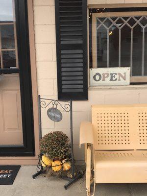
Places in Beverly
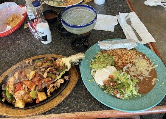
Dine and drink
Eat and drink your way through town.


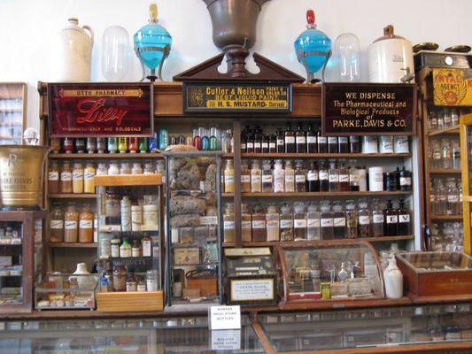
Can't-miss activities
Culture, natural beauty, and plain old fun.


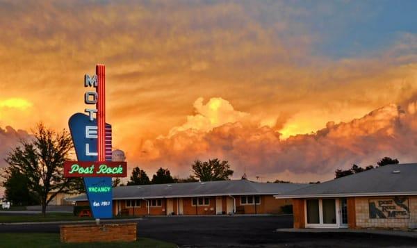
Places to stay
Hang your (vacation) hat in a place that’s just your style.


Advertisement