Advertisement

Advertisement

HotelsFoodShoppingCoffeeGroceryGas

Lane, KS

Advertisement

Advertisement

Lane, KS 66042

Lane Map

Lane is a city in Franklin County, Kansas, United States. The population was 256 at the 2000 census.

Lane was named after James H. Lane, a leader of the Jayhawkers abolitionist movement, who served as one of the first Senators from Kansas.

Lane is located at 38°26?25?N 95°4?56?W / 38.44028°N 95.08222°W / 38.44028; -95.08222 (38.440265, -95.082339).

Nearby cities include Princeton, Fontana, Garnett, Paola, Ottawa.

Places in Lane

Dine and drink

Eat and drink your way through town.

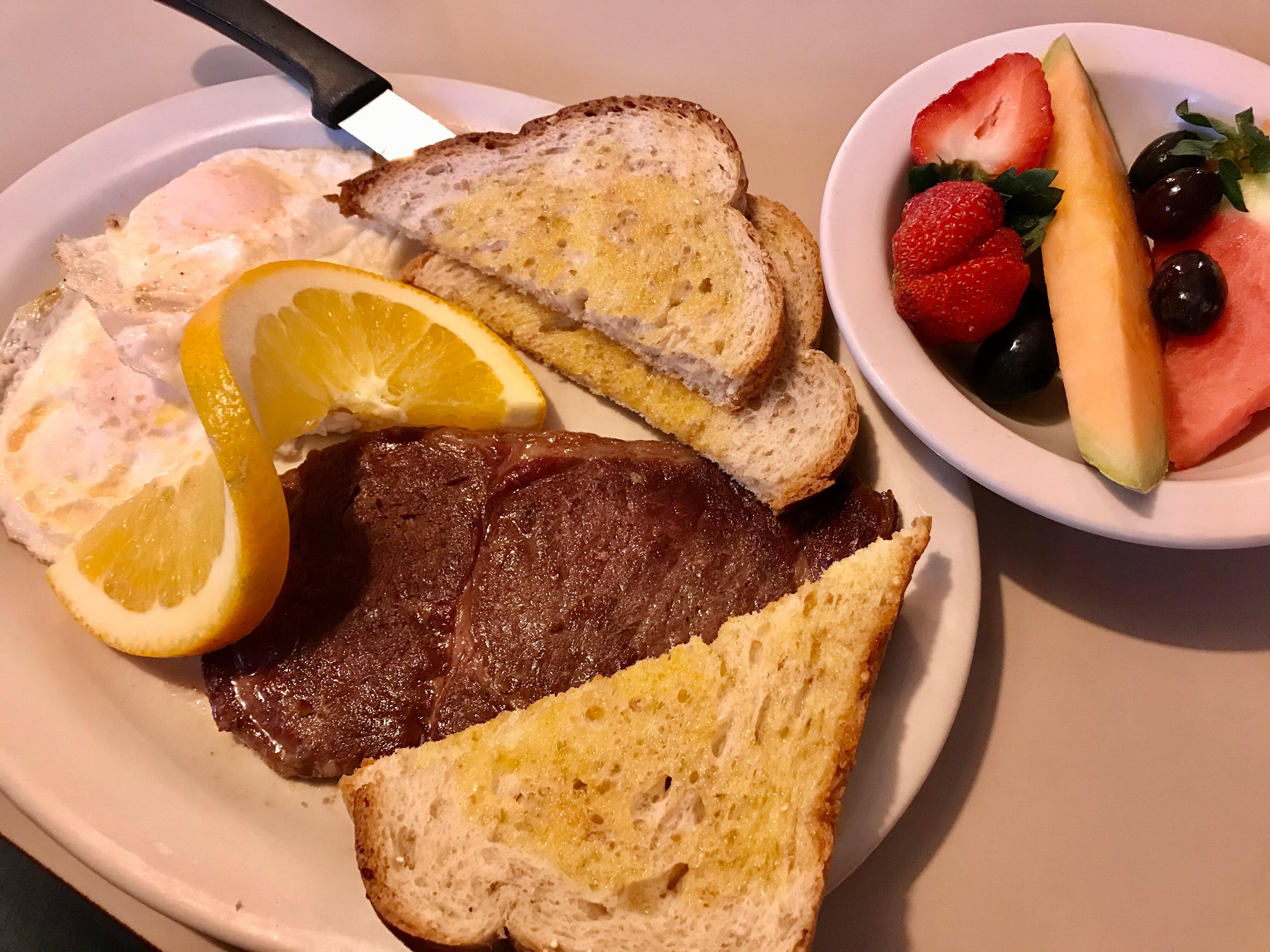
The sampler platter  Mushrooms, cheese sticks, cheese curds, onion rings , loaded fries, jalapeno poppers

Greeley Cafe

2
Tofu veggie stir fry

China Restaurant

7

$

Photo by ksufan88

Whistle Stop Cafe

11

$

Photo by lively s

La Hacienda

10

$$

Can't-miss activities

Culture, natural beauty, and plain old fun.

Photo by TeddyDean

John Brown Museum

22

MidWay Drive-In Theatre

9
Photo by Ryan C

Kanza Park

23

Places to stay

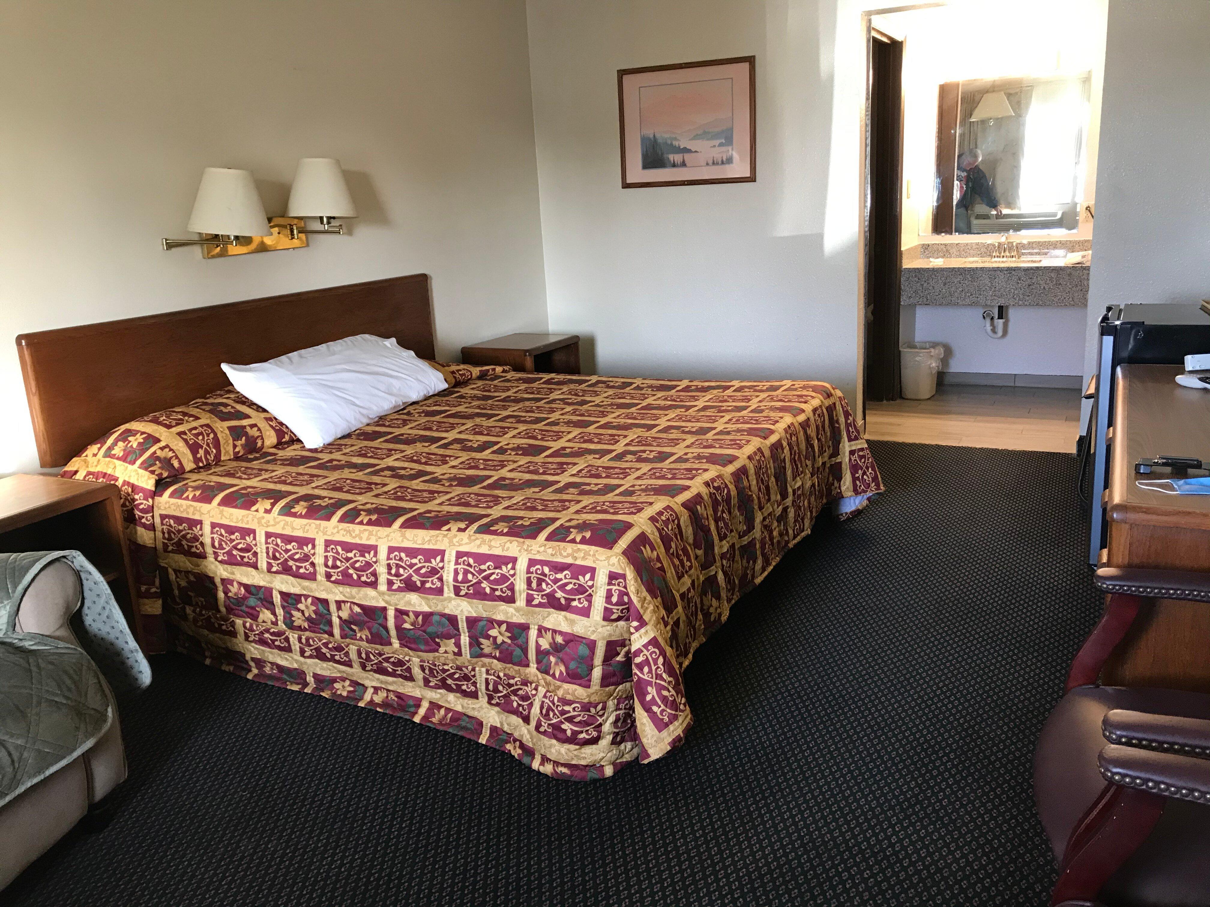
Hang your (vacation) hat in a place that’s just your style.

Photo by ksufan88

Landmark Inn

3
Photo by Management

Netherfield Natural Farm

4
Photo by Management

Comfort Inn Ottawa

10
LOGO

SureStay by Best Western Ottawa

191
See a problem?
United States›Kansas›Lane, KS

Advertisement

Advertisement

  • Get directions
  • MapQuest Travel
  • Route Planner
  • Print your map
  • Get help
  • Search the web
  • Send feedback
Learn more about our mobile apps.
  • Android app Google Play
  • Download on the App Store
  • Download on the Amazon Appstore
  • Enterprise solutions
  • Claim your business
  • Developer resources
  • Jobs
  • Advertise with us
  • Terms of use
  • Privacy policy
  • Data and licenses
  • About our ads
  • Do not sell