


Lawrence, KS
Advertisement
Lawrence, KS Map
Lawrence is a US city in Douglas County in the state of Kansas. Located at the longitude and latitude of -95.235278, 38.971667 and situated at an elevation of 264 meters. In the 2020 United States Census, Lawrence, KS had a population of 94,934 people. Lawrence is in the Central Standard Time timezone at Coordinated Universal Time (UTC) -6. Find directions to Lawrence, KS, browse local businesses, landmarks, get current traffic estimates, road conditions, and more.
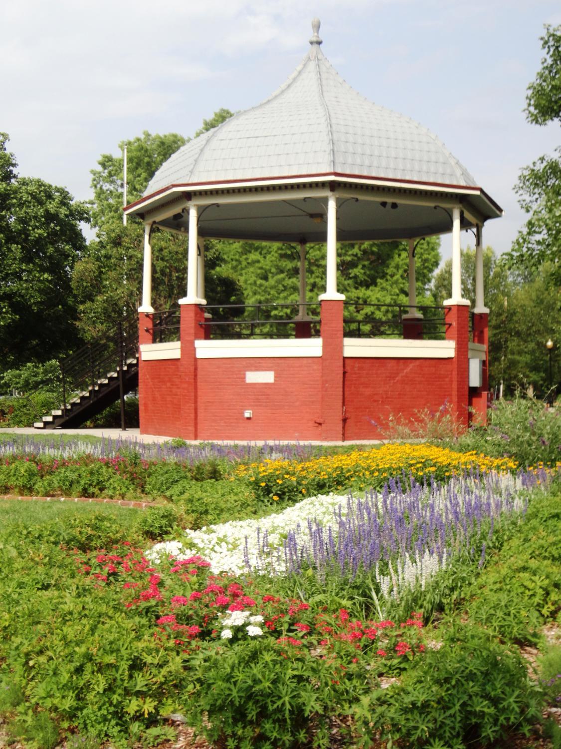
Lawrence, Kansas, is a city steeped in history and vibrant culture, primarily known for its strong ties to education and the arts. Home to the University of Kansas, the city has a lively college-town atmosphere with a youthful energy that permeates its streets. This is reflected in the bustling Massachusetts Street, commonly referred to as "Mass Street," which serves as the heart of downtown Lawrence. Here, visitors can explore an array of eclectic shops, diverse dining options, and a thriving live music scene. The city's history is deeply intertwined with the Civil War and the abolitionist movement, most notably marked by the Lawrence Massacre of 1863, an event that played a significant role in shaping its resilient spirit.
For those interested in cultural and historical attractions, the Spencer Museum of Art and the Watkins Museum of History offer insights into the city's artistic and historical legacy. The natural beauty surrounding Lawrence is evident in the scenic Clinton State Park and the Baker Wetlands, which provide ample opportunities for outdoor recreation and wildlife observation. Additionally, the city hosts various annual events and festivals, such as the Free State Festival and the Busker Festival, celebrating its rich cultural diversity and community spirit. Lawrence's combination of historical significance, academic influence, and cultural vibrancy make it a unique and intriguing destination for travelers.
Nearby cities include: Wakarusa, KS, Reno, KS, Eudora, KS, Sarcoxie, KS, Eudora, KS, Rural, KS, Lecompton, KS, Lecompton, KS, Linwood, KS, Perry, KS.
Places in Lawrence
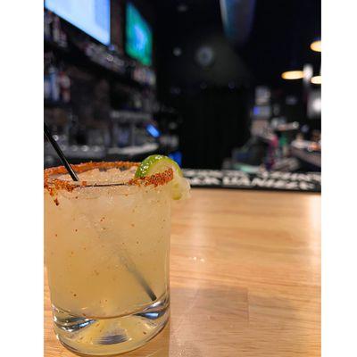
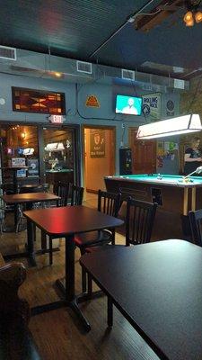
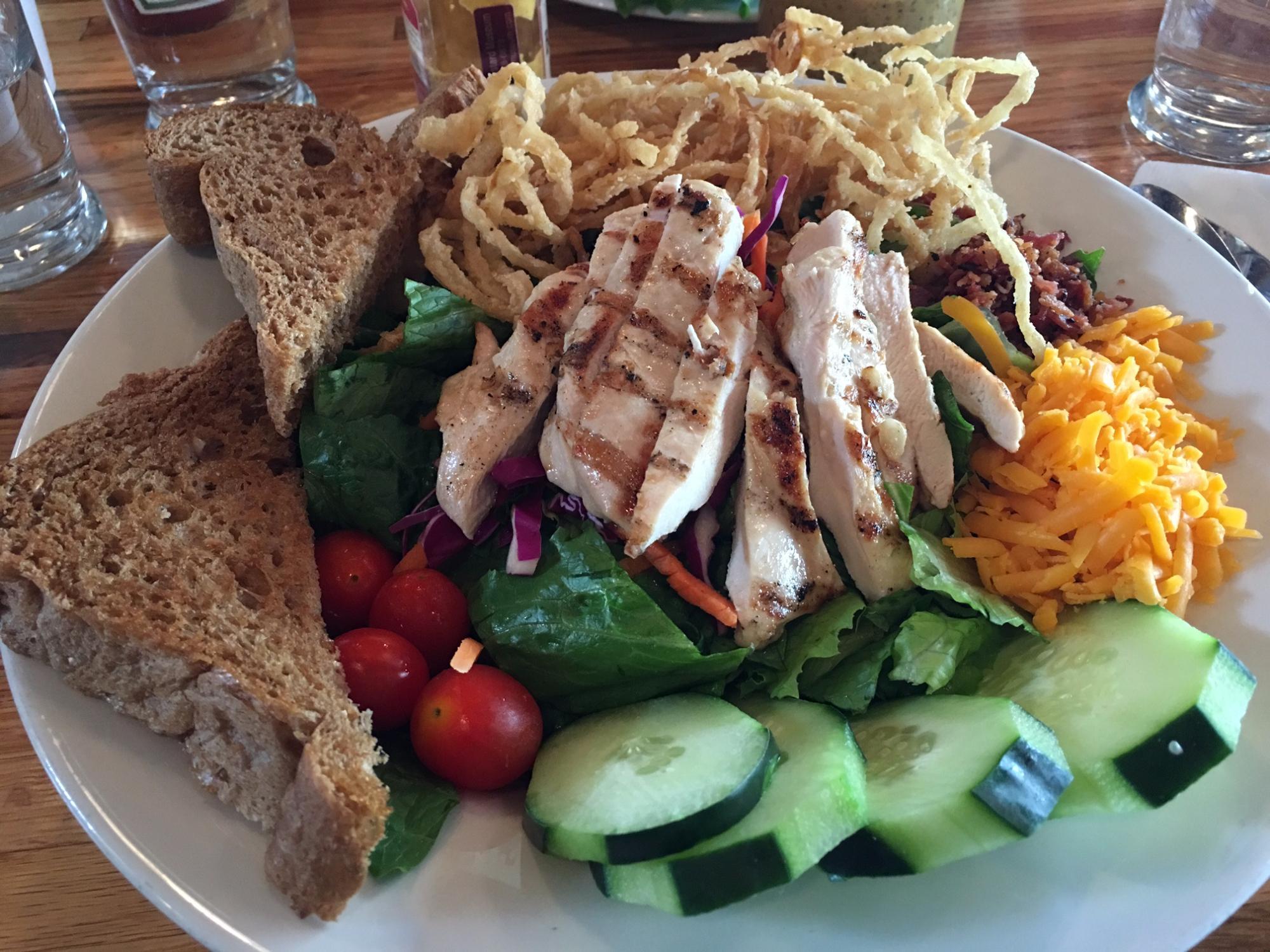
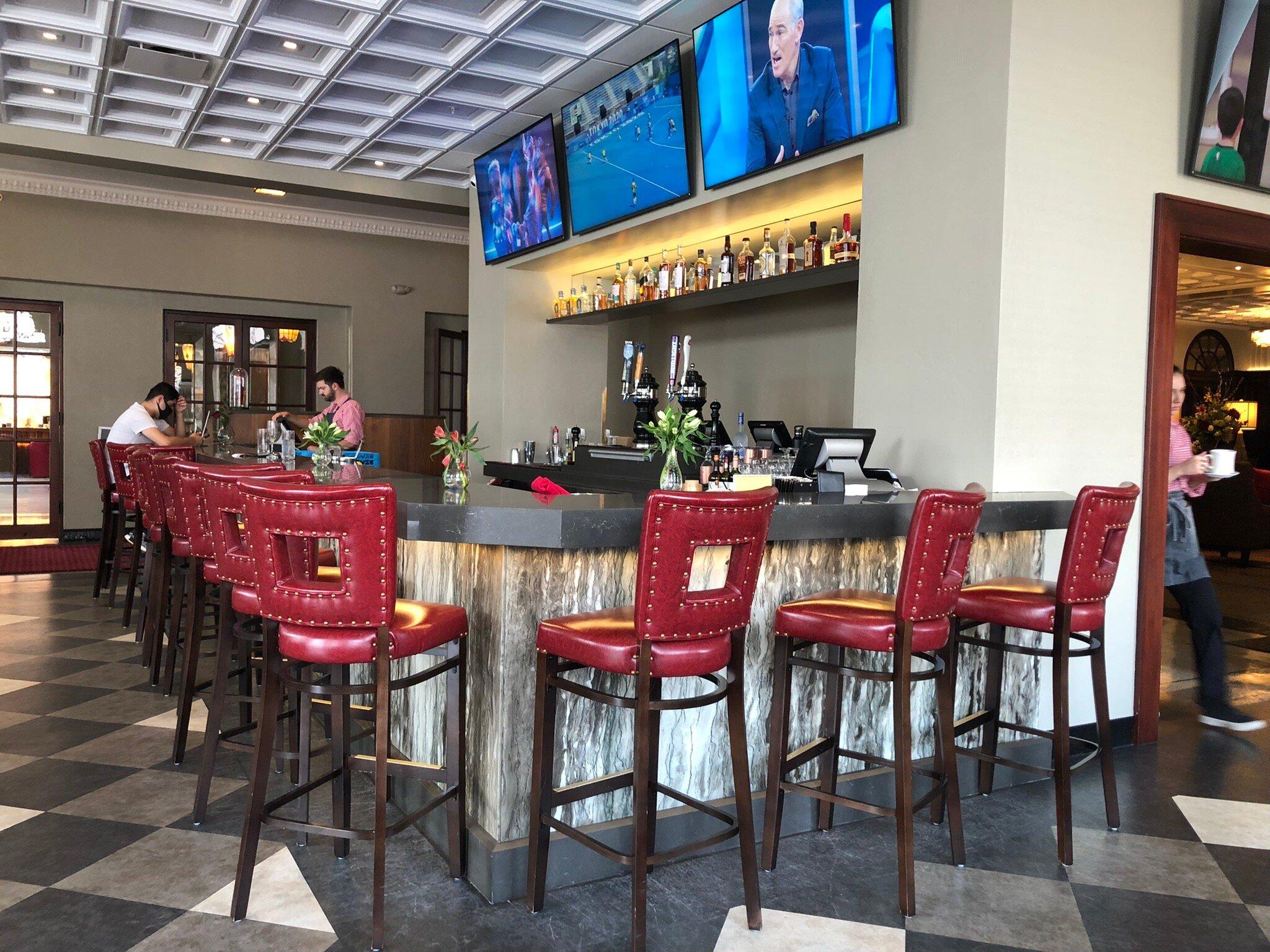
Dine and drink
Eat and drink your way through town.

Can't-miss activities
Culture, natural beauty, and plain old fun.

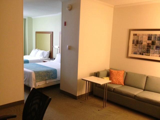
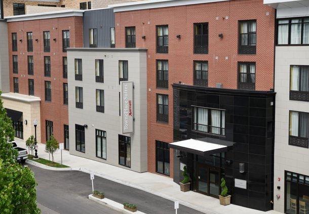
Places to stay
Hang your (vacation) hat in a place that’s just your style.
Advertisement