


Tangipahoa, LA
Advertisement
Tangipahoa, LA Map
Tangipahoa is a US city in Tangipahoa County in the state of Louisiana. Located at the longitude and latitude of -90.512500, 30.875600 and situated at an elevation of 54 meters. In the 2020 United States Census, Tangipahoa, LA had a population of 425 people. Tangipahoa is in the Central Standard Time timezone at Coordinated Universal Time (UTC) -6. Find directions to Tangipahoa, LA, browse local businesses, landmarks, get current traffic estimates, road conditions, and more.
Tangipahoa, located in the state of Louisiana, is a small town that is often overshadowed by its more prominent neighbors, yet it offers a unique glimpse into the rural charm and rich heritage of the region. Known primarily for its agricultural roots, Tangipahoa is surrounded by lush landscapes and scenic countryside, making it a serene escape for those looking to experience the quieter side of Louisiana. The town's history is deeply intertwined with the development of the railway in the 19th century, which significantly contributed to its growth and the establishment of local industries.
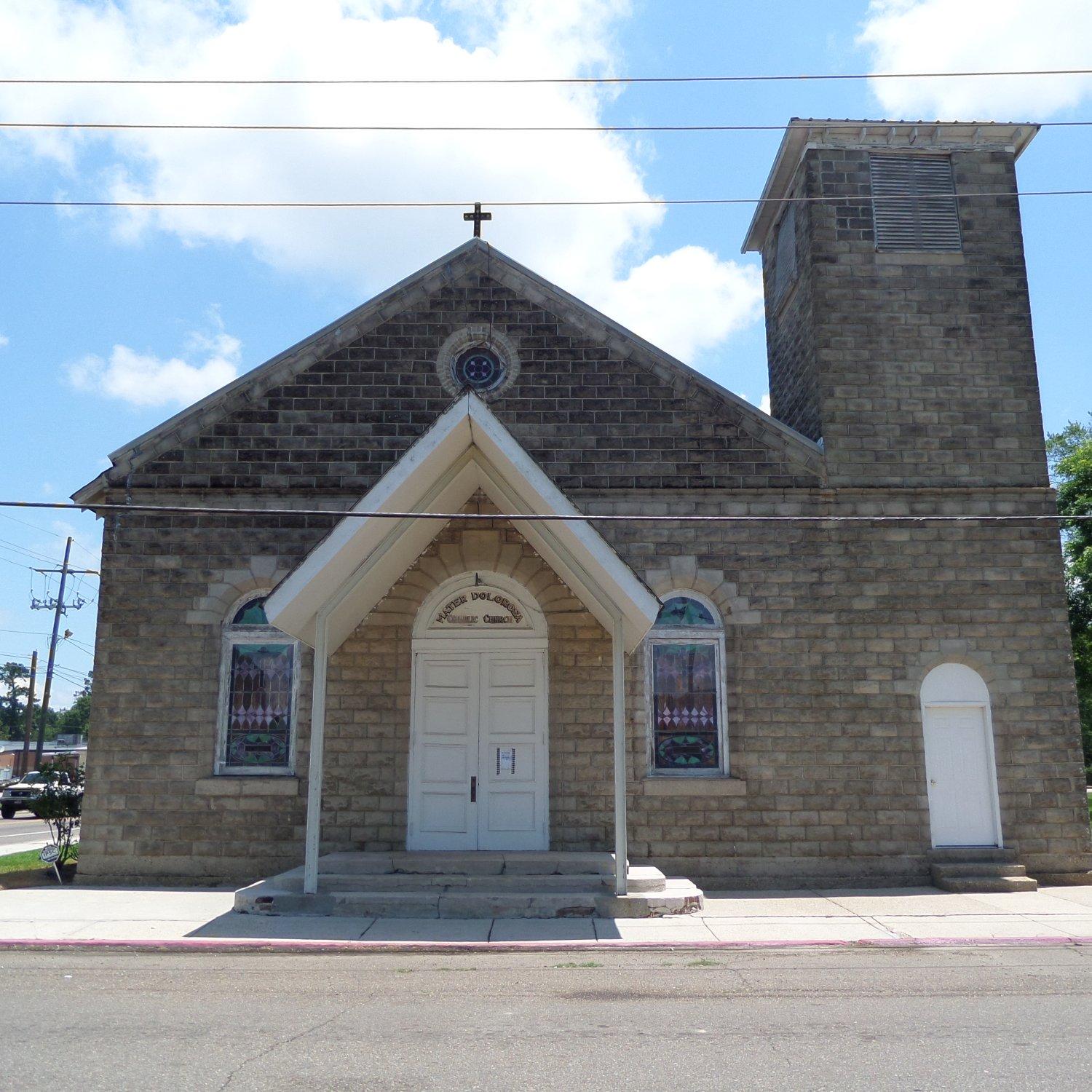
Visitors to Tangipahoa can explore a handful of local attractions that highlight its cultural and historical significance. While the town itself may not boast a plethora of traditional tourist hotspots, its charm lies in the simplicity and authenticity of its environment. The area is characterized by its community events, often centered around agricultural fairs and local festivals that celebrate the unique blend of Creole and Southern cultures. These gatherings offer a taste of local cuisine and music, providing an immersive experience into the traditions that define this quaint Louisiana town.
Nearby cities include: Kentwood, LA, Roseland, LA, Osyka, MS, Greensburg, LA, Amite City, LA, Montpelier, LA, Independence, LA, Magnolia, MS, Tickfaw, LA, Franklinton, LA.
Places in Tangipahoa
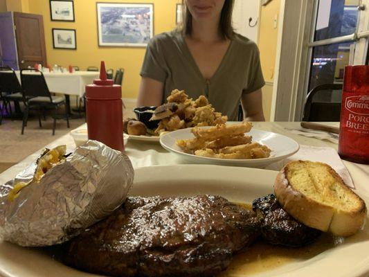
Dine and drink
Eat and drink your way through town.


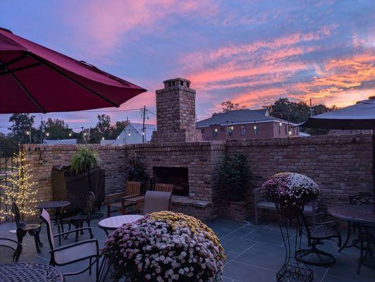
Can't-miss activities
Culture, natural beauty, and plain old fun.
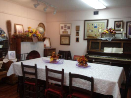

Places to stay
Hang your (vacation) hat in a place that’s just your style.


Advertisement