Flowood, MS
Advertisement
Flowood, MS Map
Flowood is a US city in Rankin County in the state of Mississippi. Located at the longitude and latitude of -90.114700, 32.316700 and situated at an elevation of 82 meters. In the 2020 United States Census, Flowood, MS had a population of 10,202 people. Flowood is in the Central Standard Time timezone at Coordinated Universal Time (UTC) -6. Find directions to Flowood, MS, browse local businesses, landmarks, get current traffic estimates, road conditions, and more.
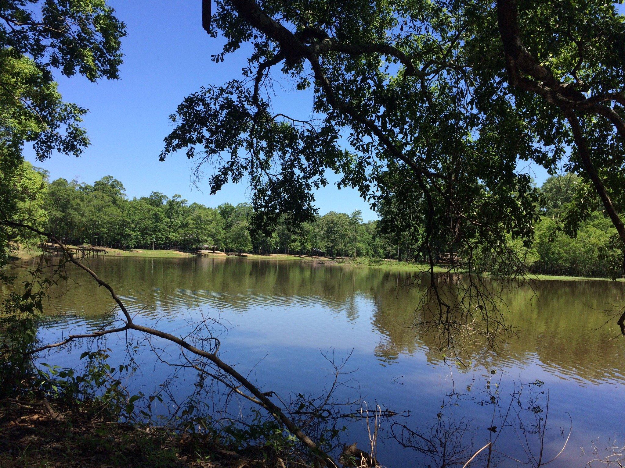
Flowood, located in the state of Mississippi, is recognized for its blend of suburban comfort and natural beauty. The city is known for its extensive parks and recreational facilities, offering residents and visitors a variety of outdoor activities. A standout attraction is the Flowood Nature Park, which features serene walking trails and a picturesque lake, providing a peaceful retreat for nature enthusiasts. Additionally, the city is home to the Refuge Golf Course, a popular destination for golf lovers, offering a challenging 18-hole course set amidst lush landscapes. Flowood also hosts the Dogwood Festival Market, a vibrant shopping and dining area that attracts both locals and tourists with its array of retail stores and eateries.
Historically, Flowood has evolved from its origins as a small community to a thriving suburb of Jackson. It has developed a reputation for being a family-friendly city with a strong emphasis on community and quality of life. The city's commitment to growth and development is evident in its well-maintained infrastructure and public amenities. Flowood's strategic location, combined with its focus on preserving natural spaces, makes it a desirable destination for those seeking a harmonious balance between urban living and access to nature.
Nearby cities include: Pearl, MS, Jackson, MS, Richland, MS, Ridgeland, MS, Brandon, MS, Madison, MS, Florence, MS, Clinton, MS, Byram, MS, Raymond, MS.
Places in Flowood
Dine and drink
Eat and drink your way through town.
Can't-miss activities
Culture, natural beauty, and plain old fun.
Places to stay
Hang your (vacation) hat in a place that’s just your style.
Advertisement


