Wright City, MO
Advertisement
Wright City, MO Map
Wright City is a US city in Warren County in the state of Missouri. Located at the longitude and latitude of -91.024200, 38.827800 and situated at an elevation of 223 meters. In the 2020 United States Census, Wright City, MO had a population of 4,881 people. Wright City is in the Central Standard Time timezone at Coordinated Universal Time (UTC) -6. Find directions to Wright City, MO, browse local businesses, landmarks, get current traffic estimates, road conditions, and more.
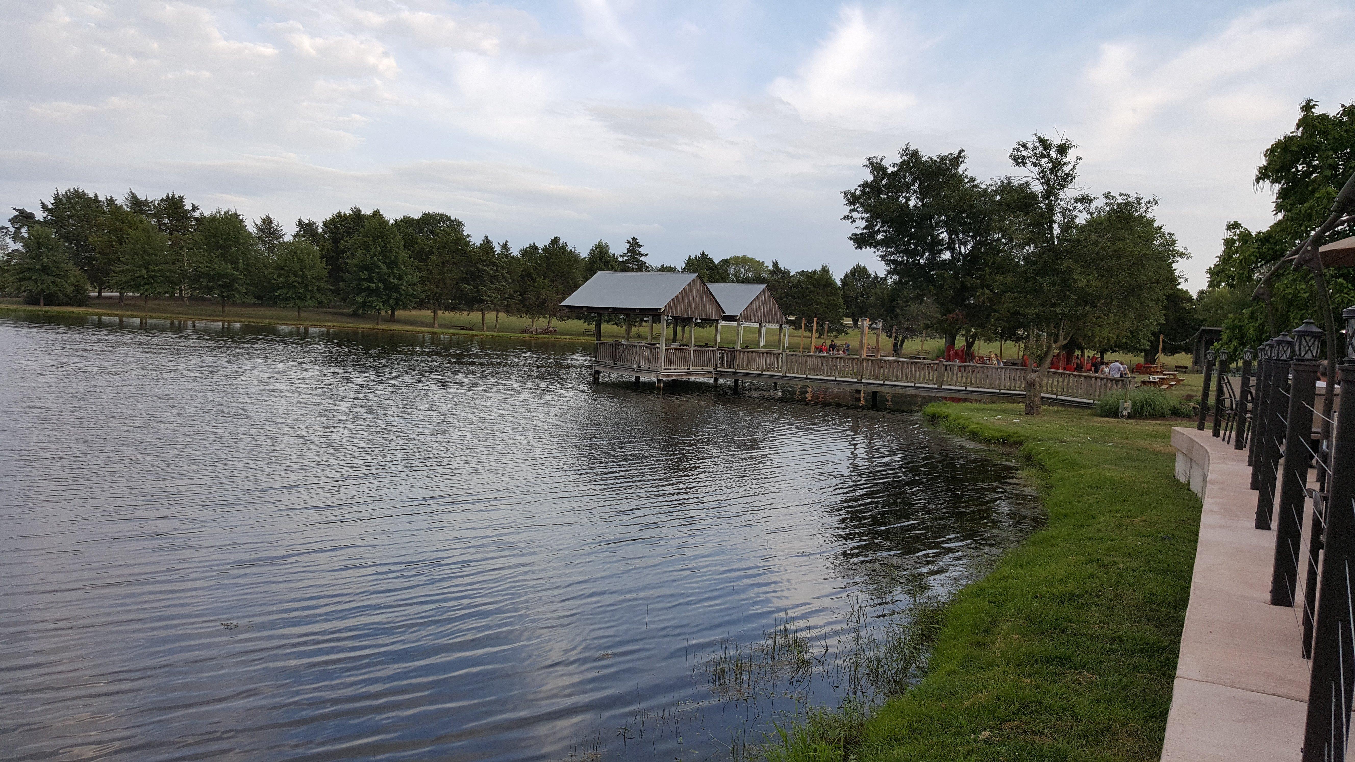
Wright City, located in the heart of Missouri, is a charming locale known for its small-town allure and community-centric lifestyle. The city has carved a niche for itself with its local wineries and vibrant outdoor spaces, attracting both residents and visitors alike. Among the popular spots is the Cedar Lake Cellars, a winery that offers picturesque views, delicious wines, and hosts a variety of events throughout the year. The city also takes pride in its parks and recreational areas, providing ample space for outdoor activities and family gatherings.
Historically, Wright City has been a quintessential example of Midwestern resilience and growth. The city has maintained its roots while adapting to modern advancements, making it a quaint yet progressive place to live or visit. The community holds several annual events that highlight its rich heritage and foster a strong sense of belonging among its inhabitants. Whether you're exploring the local attractions or simply enjoying the serene environment, Wright City offers a pleasant escape with its blend of history and hospitality.
Nearby cities include: Hickory Grove, MO, Foristell, MO, Innsbrook, MO, Truesdale, MO, Warrenton, MO, Flint Hill, MO, Wentzville, MO, Moscow Mills, MO, Troy, MO, New Melle, MO.
Places in Wright City
Dine and drink
Eat and drink your way through town.
Can't-miss activities
Culture, natural beauty, and plain old fun.
Places to stay
Hang your (vacation) hat in a place that’s just your style.
Advertisement


