


Excelsior, MN
Advertisement
Excelsior, MN Map
Excelsior is a US city in Hennepin County in the state of Minnesota. Located at the longitude and latitude of -93.566350, 44.903300 and situated at an elevation of 291 meters. In the 2020 United States Census, Excelsior, MN had a population of 2,355 people. Excelsior is in the Central Standard Time timezone at Coordinated Universal Time (UTC) -6. Find directions to Excelsior, MN, browse local businesses, landmarks, get current traffic estimates, road conditions, and more.
Excelsior, located in the state of Minnesota, is a quaint city that exudes a rich historical charm, primarily known for its picturesque setting on the shores of Lake Minnetonka. Established in the mid-1800s, this city has preserved much of its historical essence, offering visitors a glimpse into its past through its well-maintained architecture and vibrant downtown area. Excelsior is renowned for its delightful Main Street, which is lined with an array of unique boutiques, antique shops, and inviting cafes, making it a perfect destination for a leisurely stroll.
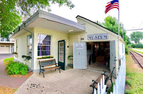
A visit to Excelsior isn’t complete without exploring its popular attractions like the Excelsior Commons, a sprawling park that provides beautiful lakeside views and hosts various events throughout the year. The city is also home to the historic Excelsior Amusement Park, which, although no longer operational, remains a significant part of the town's legacy. For those interested in maritime history, the Excelsior-Lake Minnetonka Historical Society offers insights into the area’s past with exhibits and artifacts. Additionally, the city is a hub for water-based activities, with opportunities for boating and fishing on the lake, making it a beloved spot for both history enthusiasts and outdoor adventurers alike.
Nearby cities include: Greenwood, MN, Shorewood, MN, Tonka Bay, MN, Minnetonka Beach, MN, Deephaven, MN, Minnetonka, MN, Chanhassen, MN, Spring Park, MN, Woodland, MN, Orono, MN.
Places in Excelsior
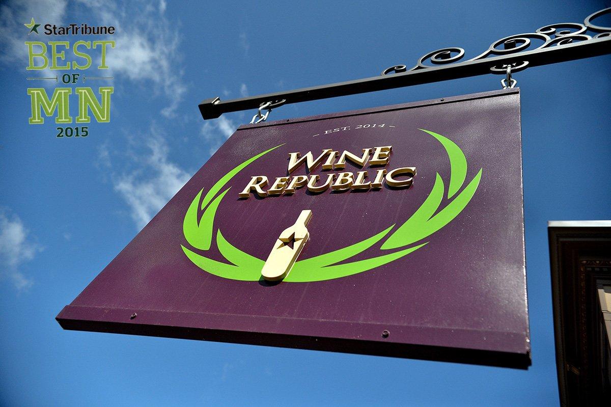
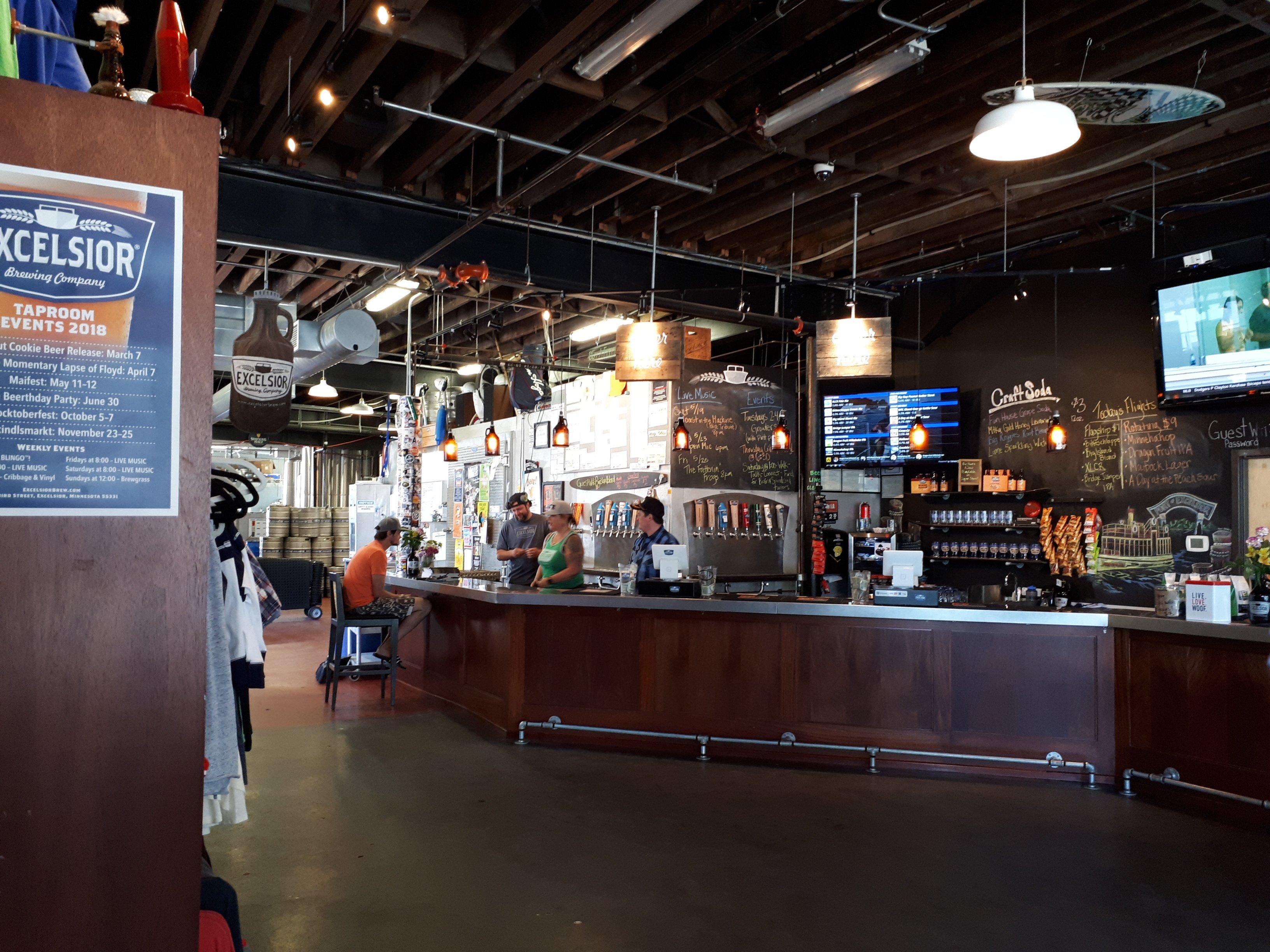
Dine and drink
Eat and drink your way through town.


Can't-miss activities
Culture, natural beauty, and plain old fun.

Places to stay
Hang your (vacation) hat in a place that’s just your style.


Advertisement