


Carter, MT
Advertisement
Carter, MT 59420
Carter Map
Carter is a census-designated place (CDP) in Chouteau County, Montana, United States. The population was 62 at the 2000 census.
Carter is located at 47°46?53?N 110°57?21?W / 47.781252°N 110.955800°W / 47.781252; -110.955800 (47.781252, -110.955800).
According to the United States Census Bureau, the CDP has a total area of 2.9 square miles (7.5 km2), all of it land.
Nearby cities include Fort Benton, Highwood.
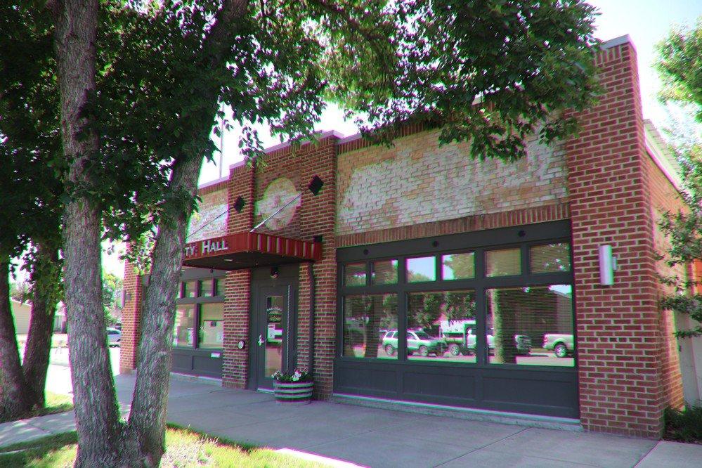
Places in Carter
Dine and drink
Eat and drink your way through town.
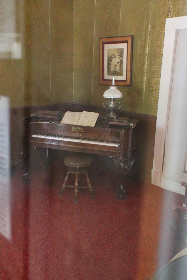
Can't-miss activities
Culture, natural beauty, and plain old fun.

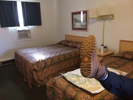
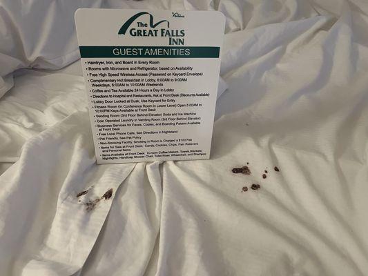
Places to stay
Hang your (vacation) hat in a place that’s just your style.
See a problem?
Advertisement