


St. Edward, NE
Advertisement
St. Edward, NE Map
St. Edward is a US city in Boone County in the state of Nebraska. Located at the longitude and latitude of -97.861389, 41.571389 and situated at an elevation of 507 meters. In the 2020 United States Census, St. Edward, NE had a population of 725 people. St. Edward is in the Central Standard Time timezone at Coordinated Universal Time (UTC) -6. Find directions to St. Edward, NE, browse local businesses, landmarks, get current traffic estimates, road conditions, and more.
St. Edward, located in the state of Nebraska, is a small city that embodies the charm and simplicity of Midwestern life. Known for its tight-knit community and agricultural roots, St. Edward offers visitors a glimpse into the pastoral beauty and heritage of Nebraska. The city is home to the St. Edward Historical Museum, which provides insights into the local history and showcases artifacts from the area's early settlers. St. Edward prides itself on its annual Beaver Valley Days, a community celebration that brings together residents and visitors for parades, games, and local fare, reflecting the city's vibrant community spirit.
For those interested in outdoor activities, the nearby Beaver River offers opportunities for fishing and picnicking, while the city's parks provide ample space for leisurely walks and family gatherings. The local dining scene is modest but authentic, featuring eateries that serve classic American dishes and comfort food. St. Edward's historic downtown area, although small, is a pleasant place to explore, with its quaint shops and friendly locals. Overall, St. Edward is a city that may not boast grand attractions, but its welcoming atmosphere and rich local traditions make it a noteworthy stop for those exploring Nebraska's rural landscapes.
Nearby cities include: Genoa, NE, Albion, NE, Lindsay, NE, Belgrade, NE, Newman Grove, NE, Cedar Rapids, NE, Monroe, NE, Fullerton, NE, Cornlea, NE, Tarnov, NE.
Places in St Edward
Dine and drink
Eat and drink your way through town.


Places to stay
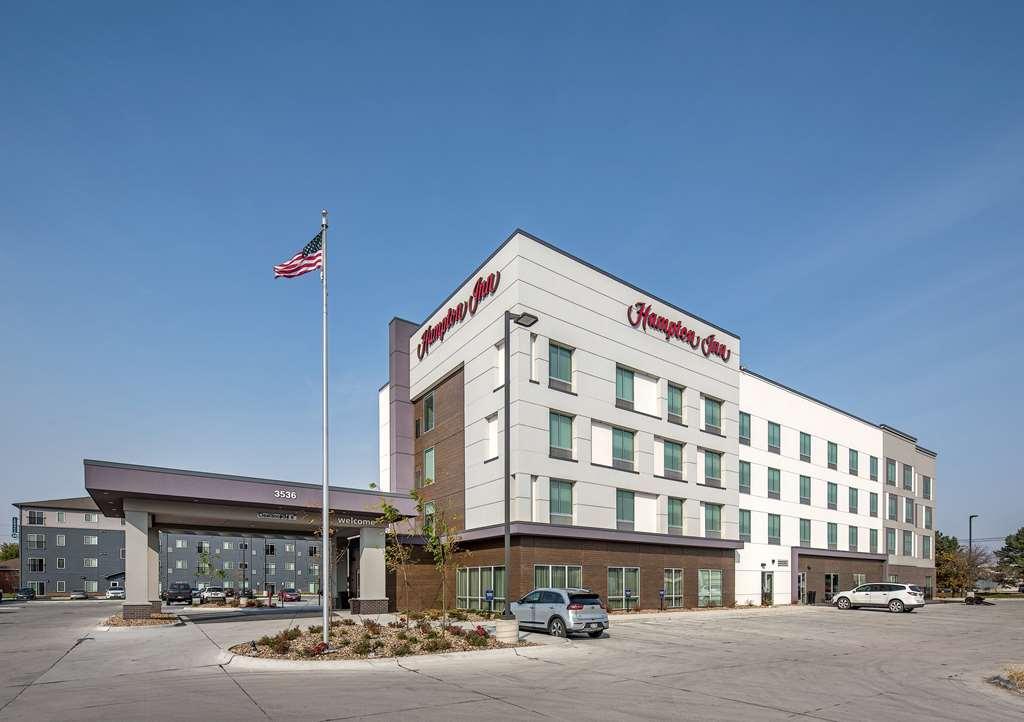
Hang your (vacation) hat in a place that’s just your style.
Advertisement