


Owyhee, NV
Advertisement
Owyhee, NV Map
Owyhee is a US city in Elko County in the state of Nevada. Located at the longitude and latitude of -116.135000, 41.948100 and situated at an elevation of 1,646 meters. In the 2020 United States Census, Owyhee, NV had a population of 1,027 people. Owyhee is in the Pacific Standard Time timezone at Coordinated Universal Time (UTC) -8. Find directions to Owyhee, NV, browse local businesses, landmarks, get current traffic estimates, road conditions, and more.
Owyhee, located in the northeastern part of Nevada, is an intriguing destination known for its deep-rooted Native American heritage. This small community is part of the Duck Valley Indian Reservation, which is home to the Shoshone-Paiute Tribes. Visitors to Owyhee can explore the rich cultural history and traditions of the tribes, as well as enjoy the natural beauty that surrounds the area. The town serves as a gateway to the vast, rugged landscapes of the region, offering opportunities for outdoor activities such as hiking, fishing, and wildlife observation.
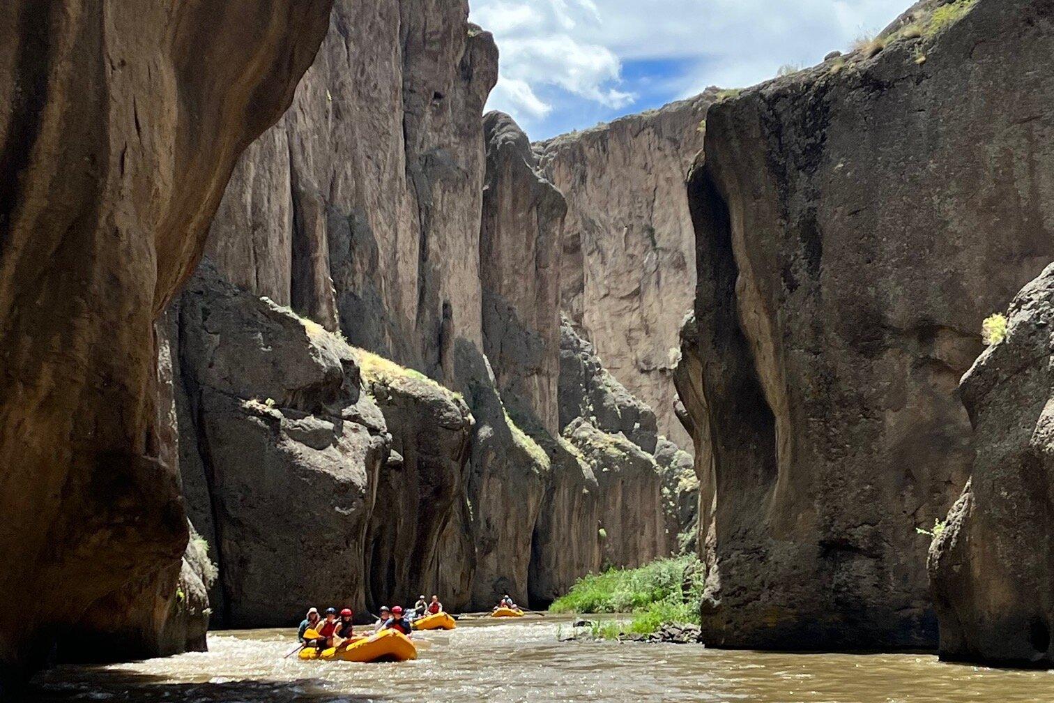
One of the notable attractions near Owyhee is the Owyhee River, which provides stunning vistas and is popular for white-water rafting. The river and its surrounding areas offer a serene escape for those looking to immerse themselves in nature. Moreover, cultural enthusiasts can engage with the local community through events and gatherings that highlight the traditions and crafts of the Shoshone-Paiute people. While Owyhee might not boast the bustling amenities of a larger city, its authentic cultural experiences and scenic beauty make it a unique destination for those seeking to explore the lesser-known facets of Nevada.
Nearby cities include: Mountain City, NV, Bruneau, ID, Grand View, ID, Jackpot, NV, Castleford, ID, Hammett, ID, Paradise Valley, NV, Elko, NV, Glenns Ferry, ID, Buhl, ID.
Places in Owyhee
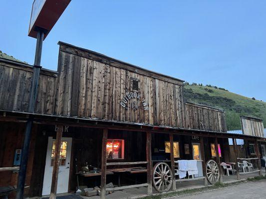
Dine and drink
Eat and drink your way through town.


Can't-miss activities
Culture, natural beauty, and plain old fun.
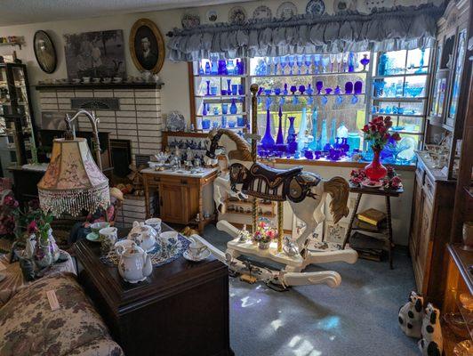

Places to stay
Hang your (vacation) hat in a place that’s just your style.
Advertisement