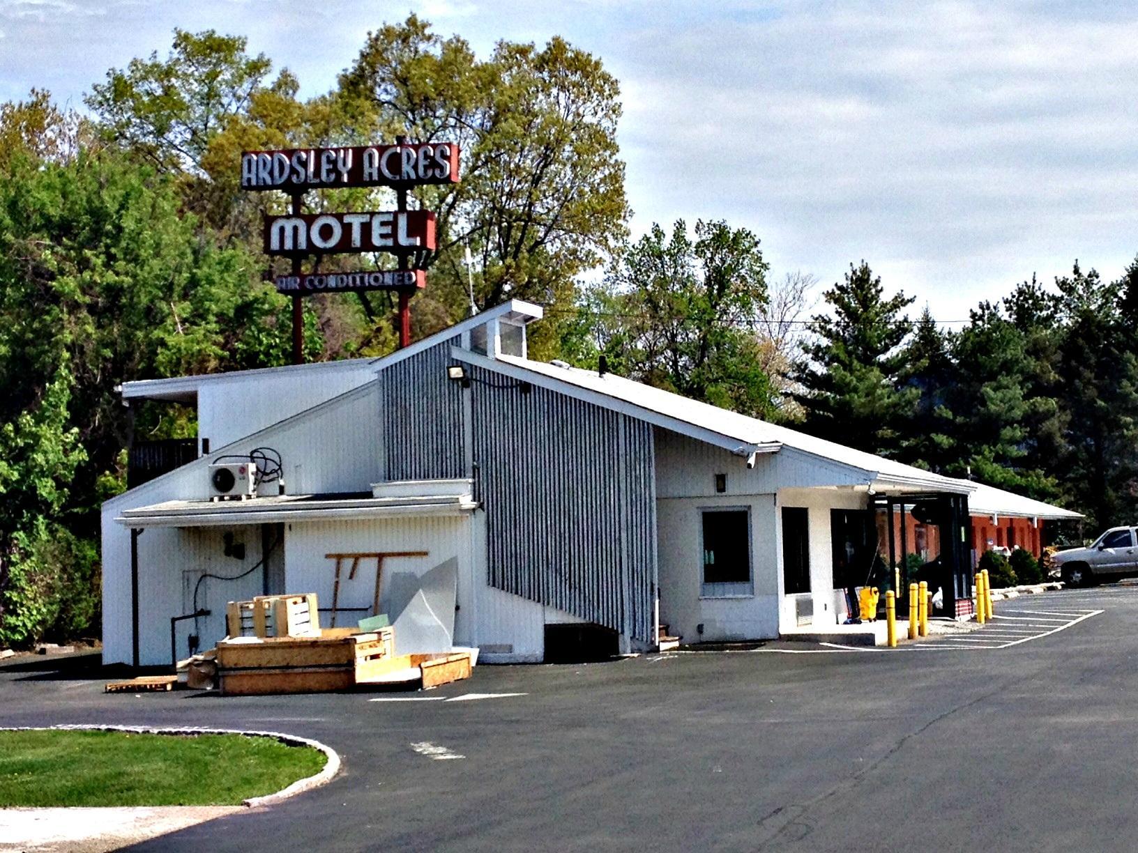
Dobbs Ferry, NY
Advertisement
Advertisement
Dobbs Ferry, NY Map
Dobbs Ferry is a US city in Westchester County in the state of New York. Located at the longitude and latitude of -73.866111, 41.012778 and situated at an elevation of 64 meters. In the 2020 United States Census, Dobbs Ferry, NY had a population of 11,541 people. Dobbs Ferry is in the Eastern Standard Time timezone at Coordinated Universal Time (UTC) -5. Find directions to Dobbs Ferry, NY, browse local businesses, landmarks, get current traffic estimates, road conditions, and more.
Dobbs Ferry, located in the state of New York, is a charming village known for its picturesque setting along the eastern bank of the Hudson River. This quaint locale is steeped in history, having played a significant role during the American Revolutionary War as a strategic lookout point. Modern-day Dobbs Ferry offers a blend of historical charm and contemporary allure, with its inviting Main Street lined with boutique shops, eclectic dining options, and a vibrant arts scene. The Old Croton Aqueduct Trailway, a popular destination for locals and visitors alike, provides a scenic path for walking, jogging, and cycling, while offering glimpses of the area's rich history.
The village is also home to the beautiful waterfront park, which offers stunning views of the Hudson River and the Palisades, making it a perfect spot for picnics and leisurely strolls. For those interested in historical architecture, the Estherwood Mansion at The Masters School is a must-see, showcasing the grandeur of the Gilded Age. Dobbs Ferry's convenient location, just a short train ride from New York City, makes it an ideal retreat for those looking to escape the hustle and bustle while still enjoying a taste of the city's cultural offerings. With its blend of history, natural beauty, and modern amenities, Dobbs Ferry is a delightful destination for travelers seeking a serene yet enriching experience.
Nearby cities include: Ardsley, NY, Ardsley, NY, Hastings-on-Hudson, NY, Irvington, NY, Greenburgh, NY, Piermont, NY, Sparkill, NY, Rockleigh, NJ, Hartsdale, NY, Elmsford, NY.
Places in Dobbs Ferry
Dine and drink
Eat and drink your way through town.
Can't-miss activities
Culture, natural beauty, and plain old fun.
Places to stay
Hang your (vacation) hat in a place that’s just your style.
Advertisement
Advertisement


