


Newtonsville, OH
Advertisement
Newtonsville, OH 45158
Newtonsville Map
Newtonsville is a village in Clermont County, Ohio, United States. The population was 492 at the 2000 census.
The Village of Newtonsville was laid out on March 30, 1838 by Stephen Whitaker and Cornelius Washburn and contained thirty-two lots and four streets, Amity, Main, Liberty and Cross.
Newtonsville is located at 39°10?52?N 84°5?6?W / 39.18111°N 84.085°W / 39.18111; -84.085 (39.181156, -84.084977).
Nearby cities include Loveland, Milford, Camp Dennison, Miamiville, Maineville.
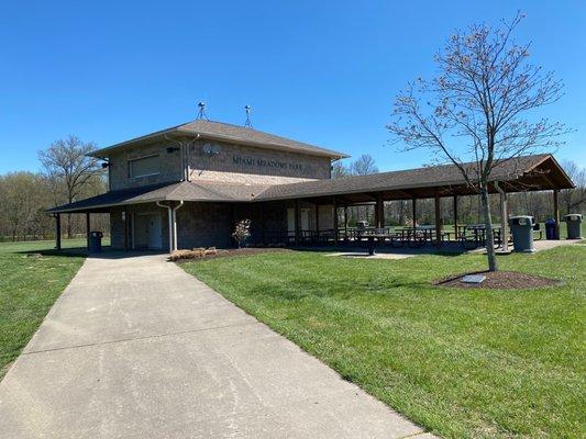
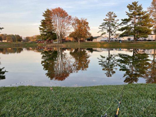
Places in Newtonsville
Dine and drink
Eat and drink your way through town.


Can't-miss activities
Culture, natural beauty, and plain old fun.


Places to stay
Hang your (vacation) hat in a place that’s just your style.


See a problem?
Advertisement