


Lockington, OH
Advertisement
Lockington, OH Map
Lockington is a US city in Shelby County in the state of Ohio. Located at the longitude and latitude of -84.235800, 40.208600 and situated at an elevation of 289 meters. In the 2020 United States Census, Lockington, OH had a population of 162 people. Lockington is in the Eastern Standard Time timezone at Coordinated Universal Time (UTC) -5. Find directions to Lockington, OH, browse local businesses, landmarks, get current traffic estimates, road conditions, and more.
Lockington, Ohio, is a quaint village best known for its historical significance and the Lockington Locks, a fascinating series of canal locks that date back to the Miami and Erie Canal era in the 19th century. These locks are a highlight for history enthusiasts and engineering buffs alike, offering a glimpse into the transportation innovations of the past. The Lockington Locks Historical Site serves as a testament to the village's role in the rich canal history of Ohio, drawing visitors who are interested in exploring the remnants of this once vital waterway system.
Beyond its historical attractions, Lockington offers a peaceful rural atmosphere, ideal for those looking to escape the hustle and bustle of larger cities. Visitors often enjoy the serene landscapes and the opportunities for outdoor activities such as hiking and picnicking. While the village itself is small, its charm lies in its simplicity and its preservation of historical landmarks that tell the story of Ohio's canal era. Whether you're a history buff or simply seeking a quiet retreat, Lockington provides a unique glimpse into a bygone era while offering the tranquility of the countryside.
Nearby cities include: Piqua, OH, Sidney, OH, Loramie, OH, Turtle Creek, OH, Fletcher, OH, Covington, OH, Newberry, OH, Cynthian, OH, Russia, OH, Port Jefferson, OH.
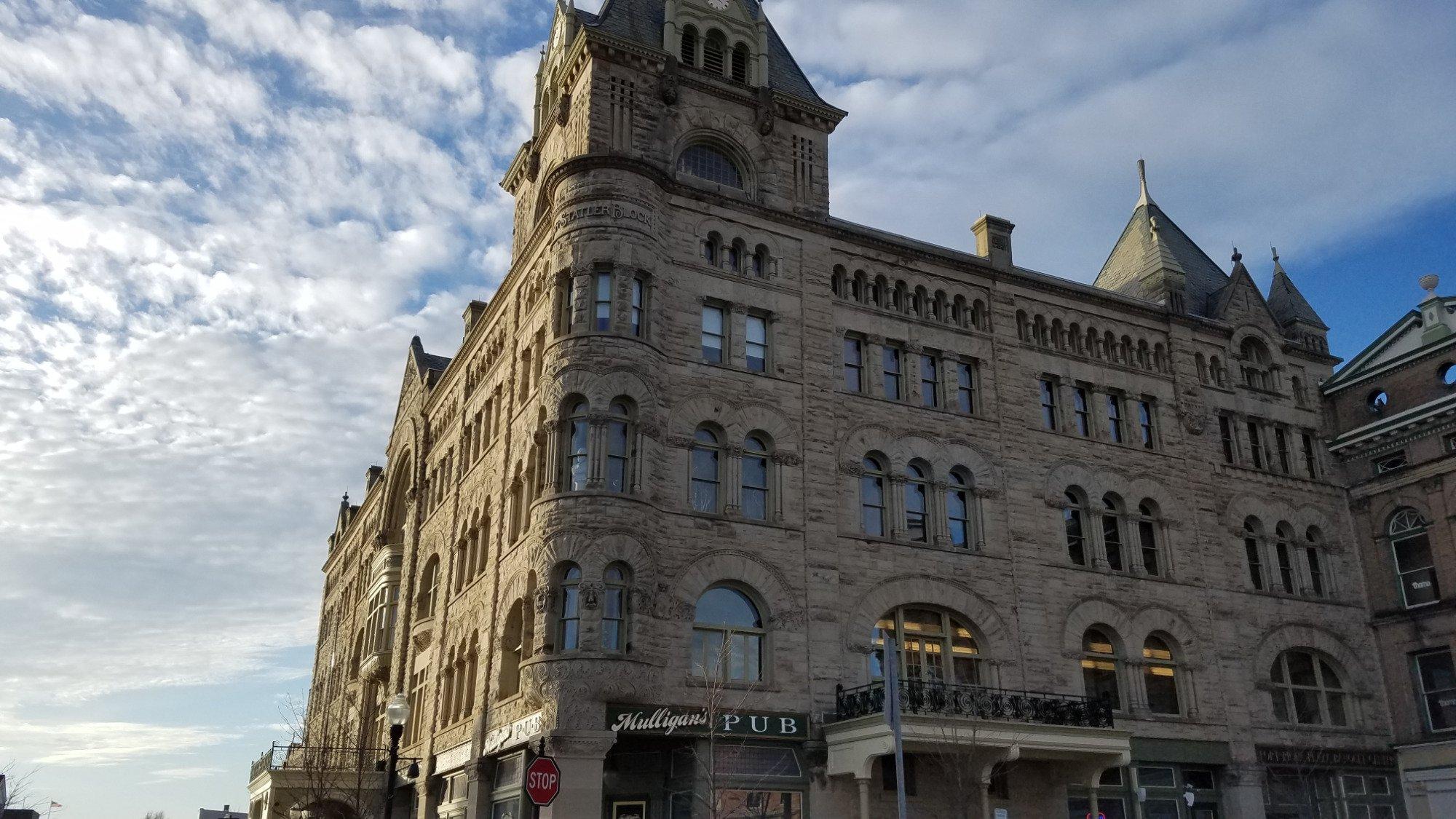
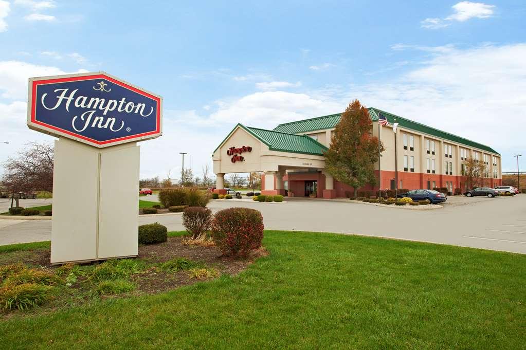
Places in Lockington
Dine and drink
Eat and drink your way through town.


Can't-miss activities
Culture, natural beauty, and plain old fun.


Places to stay
Hang your (vacation) hat in a place that’s just your style.


Advertisement