Advertisement

Advertisement

Hotels
Hotels
Food
Food
Shopping
Shopping
Coffee
Coffee
Grocery
Grocery
Gas
Gas

Mount Sterling, OH

Advertisement

Advertisement

Mount Sterling, OH

Mount Sterling Map

The City of Mount Sterling is located in Madison County in the State of Ohio. Find directions to Mount Sterling, browse local businesses, landmarks, get current traffic estimates, road conditions, and more. The Mount Sterling time zone is Eastern Daylight Time which is 5 hours behind Coordinated Universal Time (UTC).

Nearby cities include Pleasant, McClimansville, Burr Oaks Heights, Era, Marion.

Places in Mount Sterling

Dine and drink

Eat and drink your way through town.

Photo by RBurnsOhio

Dairy Freeze

8

$

Hot Pimento

Hammer Time Pub

5
Photo by jenniferrM1398WV

Larry's Pizza and Wings

35

$

Cancer run 2022 In Memory Of David Sachs

Blackwood's Tavern

Can't-miss activities

Culture, natural beauty, and plain old fun.

Photo by cowmeadow

Deer Creek State Park

18
Photo by Management

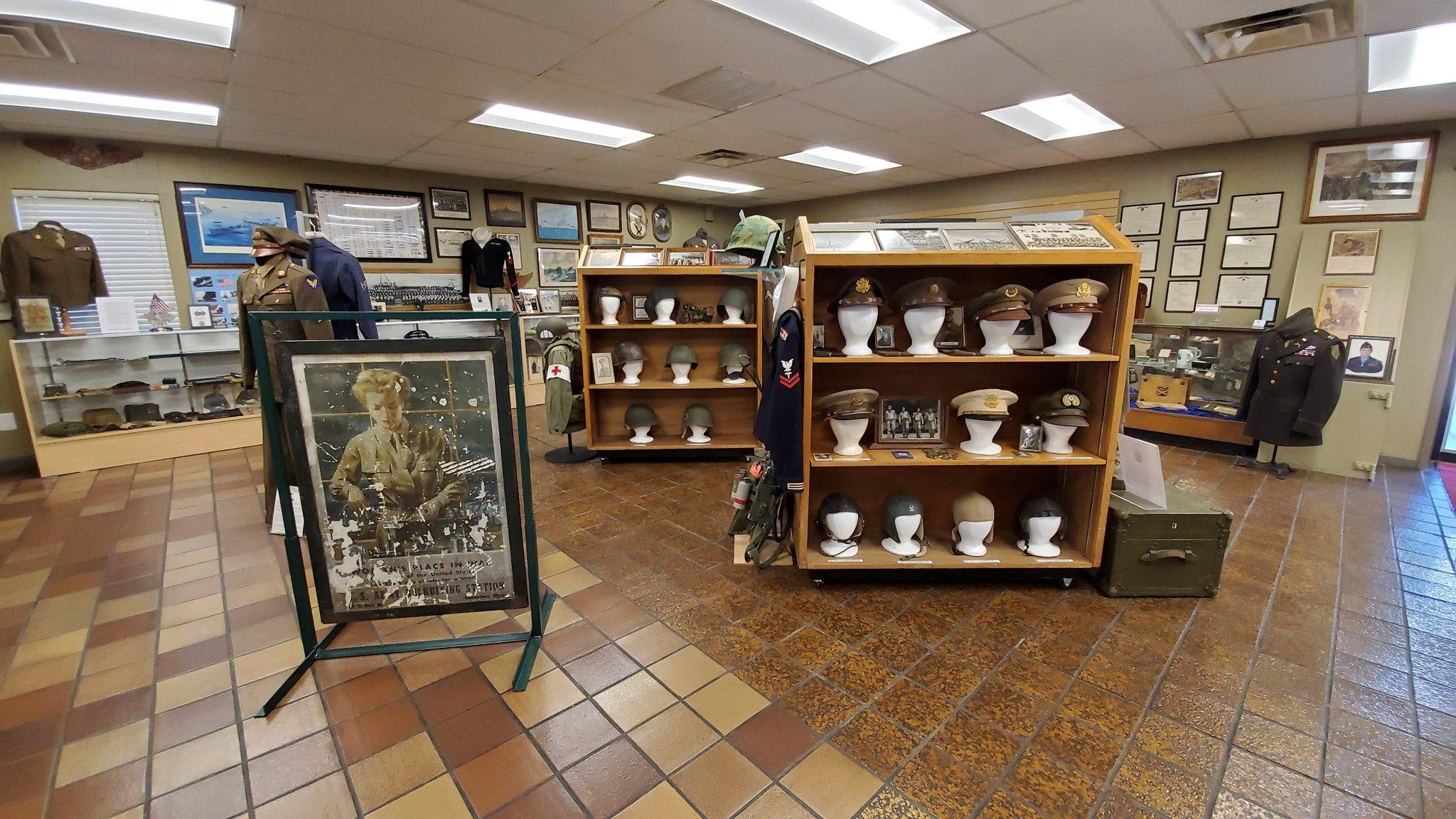
Central Ohio Military Museum

2
Photo by artgurl33

Trapper John's Canoe Livery

110
Photo by Clarat1221

Madison Lake State Park

12

Places to stay

Hang your (vacation) hat in a place that’s just your style.

Photo by Nobodyspecial19

Blue Stone Inn

3

$$

Photo by devin37354

Comfort Suites Grove City-Columbus South

24
Double Deluxe Room

Star City Inn & Suites

9
Bug on Bed crawling

Comfort Inn Grove City-Columbus South

18

$$

See a problem?
United States›Ohio›Mount Sterling, OH

Advertisement

Advertisement

  • Get directions
  • MapQuest Travel
  • Route Planner
  • Print your map
  • Get help
  • Search the web
  • Send feedback
Learn more about our mobile apps.
  • Android app Google Play
  • Download on the App Store
  • Download on the Amazon Appstore
  • Enterprise solutions
  • Claim your business
  • Developer resources
  • Jobs
  • Advertise with us
  • Terms of use
  • Privacy policy
  • Data and licenses
  • About our ads
  • Do not sell