


Rufus, OR
Advertisement
Rufus, OR Map
Rufus is a US city in Sherman County in the state of Oregon. Located at the longitude and latitude of -120.738000, 45.694400 and situated at an elevation of 71 meters. In the 2020 United States Census, Rufus, OR had a population of 268 people. Rufus is in the Pacific Standard Time timezone at Coordinated Universal Time (UTC) -8. Find directions to Rufus, OR, browse local businesses, landmarks, get current traffic estimates, road conditions, and more.
Rufus, nestled in the scenic expanse of northern Oregon, is a small city known for its proximity to the majestic Columbia River and its role as a gateway to outdoor recreational activities. The city serves as a convenient base for visitors looking to explore the river's multifaceted offerings, from fishing and boating to windsurfing and kiteboarding. Rufus is particularly popular among anglers, with the Columbia River renowned for its abundant fishing opportunities, including salmon and steelhead. The surrounding landscapes provide a picturesque backdrop for hiking and wildlife observation, making it an ideal spot for nature enthusiasts.
Historically, Rufus has roots that trace back to the early 20th century, reflecting a heritage connected to the development of transportation and trade routes along the Columbia River. One of the notable spots within the city is the Rufus Landing Recreation Area, a favored location for picnicking and river access. Though small, Rufus offers a sense of tranquility and a chance to experience the natural beauty of Oregon's riverine environments. Visitors often appreciate the quiet charm of the city and the warm hospitality of its community, making it a pleasant stopover or retreat for those traveling through the region.
Nearby cities include: Wasco, OR, Centerville, WA, Goldendale, WA, Wishram, WA, Celilo, OR, Moro, OR, Dallesport, WA, Klickitat, WA, The Dalles, OR, Grass Valley, OR.
Places in Rufus
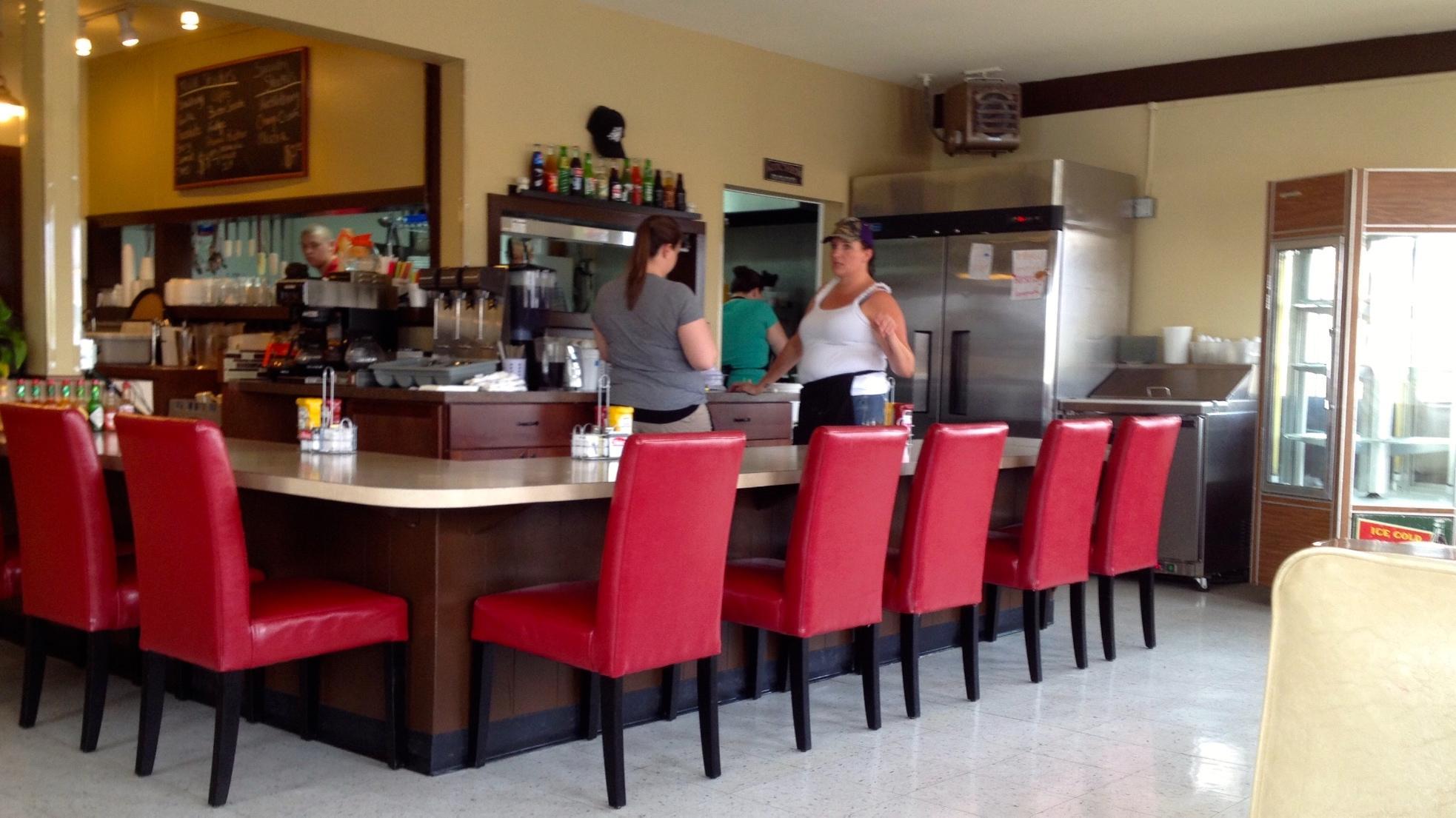
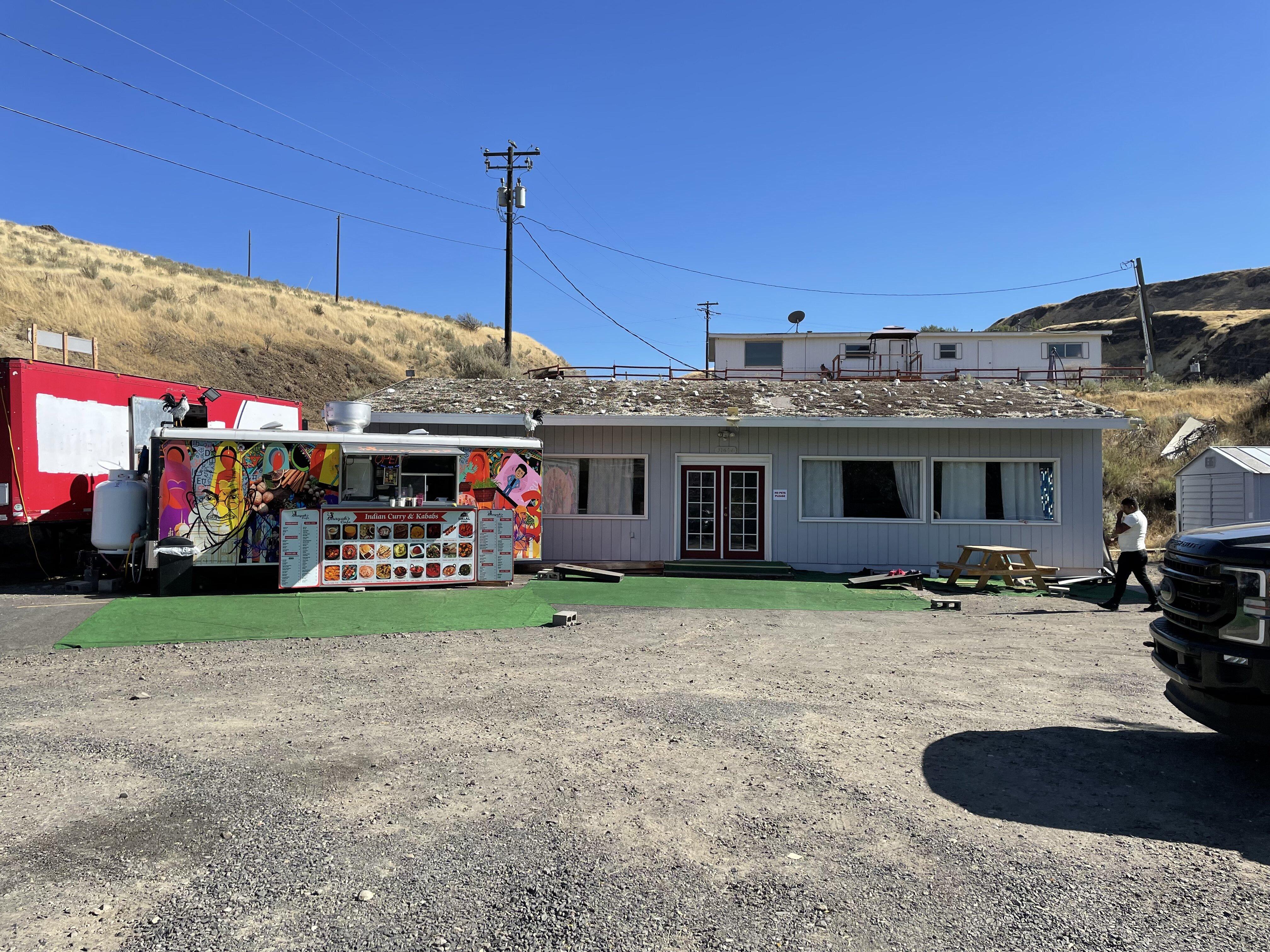
Dine and drink
Eat and drink your way through town.

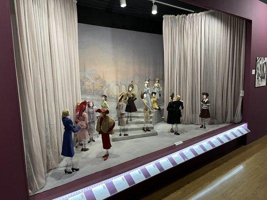
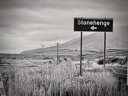
Can't-miss activities
Culture, natural beauty, and plain old fun.

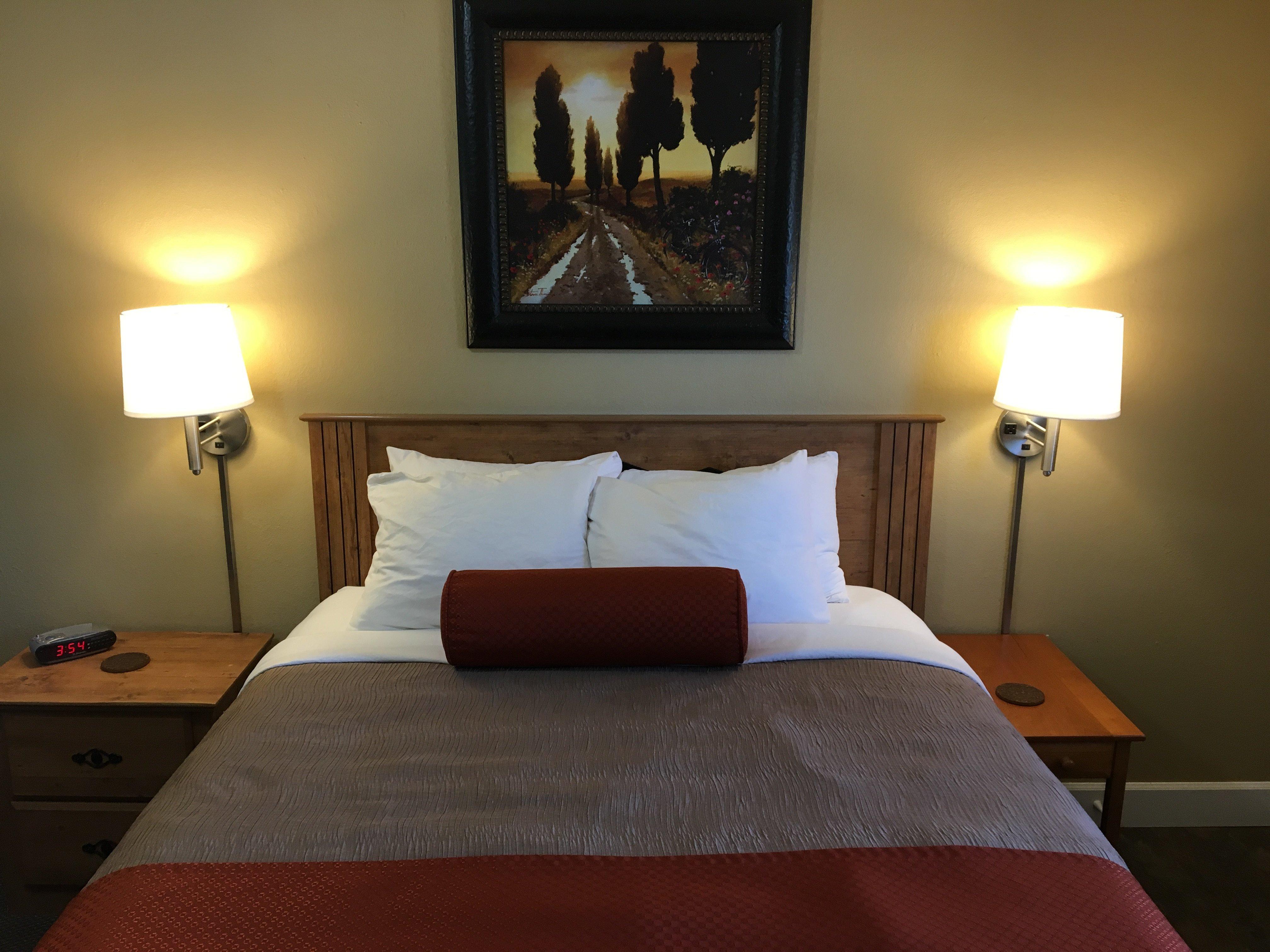
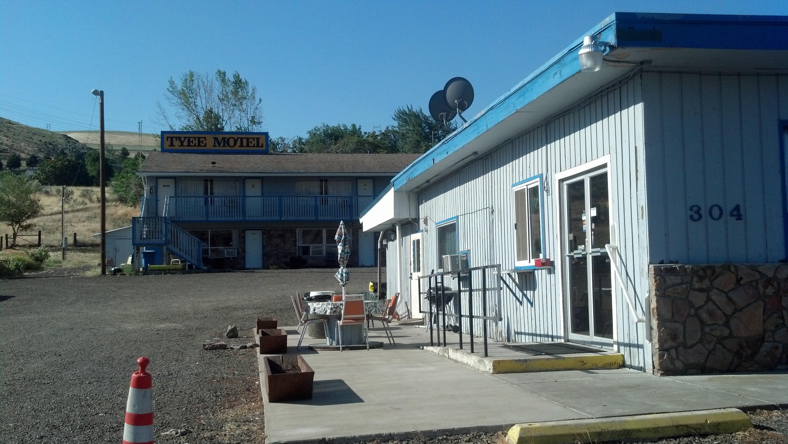
Places to stay
Hang your (vacation) hat in a place that’s just your style.

Advertisement