


Leacock, PA
Advertisement
Upper Leacock Township, PA Map
Upper Leacock Township is a US city in Lancaster County in the state of Pennsylvania. Located at the longitude and latitude of -76.185390, 40.080090 and situated at an elevation of 117 meters. In the 2020 United States Census, Upper Leacock Township, PA had a population of 8,921 people. Upper Leacock Township is in the Eastern Standard Time timezone at Coordinated Universal Time (UTC) -5. Find directions to Upper Leacock Township, PA, browse local businesses, landmarks, get current traffic estimates, road conditions, and more.
Upper Leacock Township, nestled in the heart of Pennsylvania, offers a quintessential snapshot of rural American charm. Known for its rich agricultural heritage, the township is peppered with picturesque farmlands and is a part of the larger Lancaster County, which is famous for its Amish community. Visitors often explore the rolling countryside and enjoy the serene, pastoral landscapes that define this region. A notable attraction is the Landis Valley Village & Farm Museum, which offers a vivid depiction of Pennsylvania German rural life from 1740 to 1940, showcasing historical buildings, gardens, and educational exhibits.
Upper Leacock Township also serves as a gateway to the surrounding area's unique cultural experiences. The Bird-in-Hand Farmers Market, located nearby, is a popular spot where visitors can indulge in local produce, baked goods, and handcrafted items, providing a taste of the local lifestyle. The township's history is deeply intertwined with its agricultural roots and the influence of the Pennsylvania Dutch community, making it a fascinating destination for those interested in exploring the traditions and history of rural Pennsylvania.
Nearby cities include: Leola, PA, Smoketown, PA, Bird-in-Hand, PA, West Earl, PA, Brownstown, PA, Ronks, PA, Gordonville, PA, Intercourse, PA, Akron, PA, New Holland, PA.
Places in Leacock
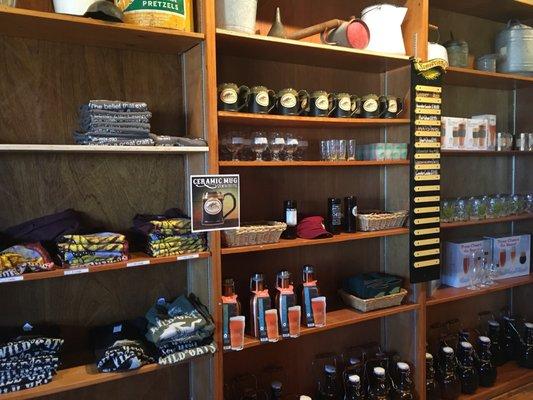
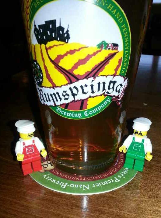
Dine and drink
Eat and drink your way through town.


Can't-miss activities
Culture, natural beauty, and plain old fun.

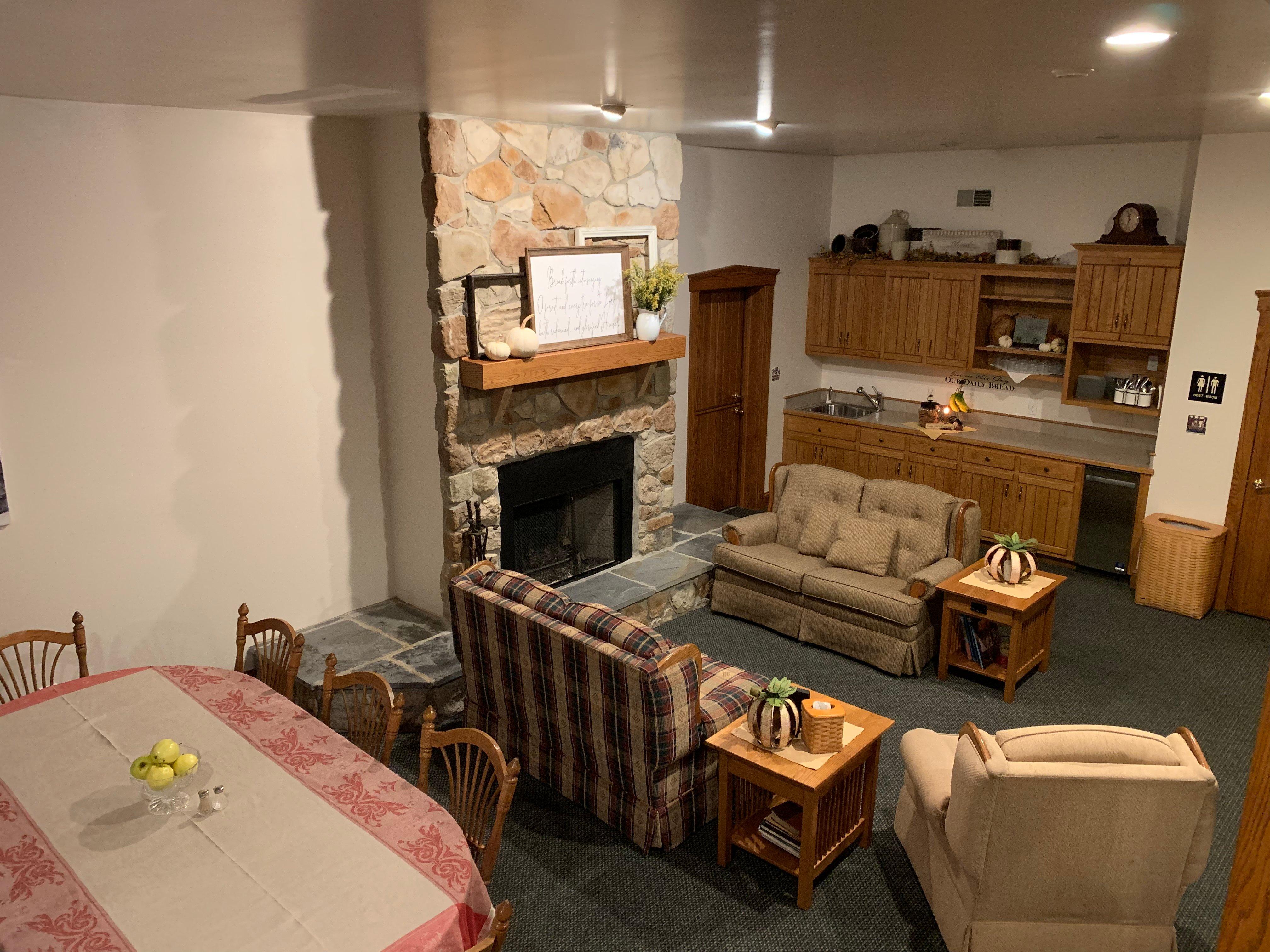
Places to stay
Hang your (vacation) hat in a place that’s just your style.
Advertisement