


Mertztown, PA
Advertisement
Mertztown, PA Map
Mertztown is a US city in Berks County in the state of Pennsylvania. Located at the longitude and latitude of -75.665556, 40.505833 and situated at an elevation of 466 meters. In the 2020 United States Census, Mertztown, PA had a population of 600 people. Mertztown is in the Eastern Standard Time timezone at Coordinated Universal Time (UTC) -5. Find directions to Mertztown, PA, browse local businesses, landmarks, get current traffic estimates, road conditions, and more.
Mertztown, Pennsylvania, is a small, unassuming locale known for its rural charm and historical roots. Founded in the 19th century, it has maintained a quaint and quiet atmosphere, making it a peaceful retreat for those seeking a break from the hustle and bustle of urban life. While Mertztown itself may not boast a wide array of tourist attractions, its historical significance is tied to the region's agricultural heritage. Visitors often appreciate the scenic beauty of the surrounding landscapes, which offer a glimpse into the traditional farming practices that have shaped the area.
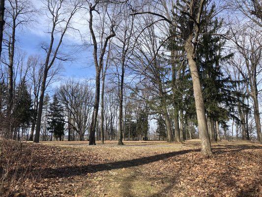
One notable point of interest near Mertztown is the Lock Ridge Furnace Park, which offers a fascinating look into the area's industrial past. The park features the remnants of an old iron furnace, a nod to the region's role in the iron industry during the 19th century. This historical site provides a picturesque setting for walking and picnicking, with its lush greenery and preserved stone structures. While Mertztown may not be a bustling metropolis, its charm lies in its simplicity and the serene environment that invites visitors to explore and reflect on its historical backdrop.
Nearby cities include: Topton, PA, Breinigsville, PA, Alburtis, PA, Maxatawny, PA, Bowers, PA, Trexlertown, PA, Lyons, PA, Kutztown, PA, Macungie, PA, Rockland, PA.
Places in Mertztown
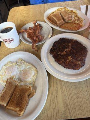
Dine and drink
Eat and drink your way through town.


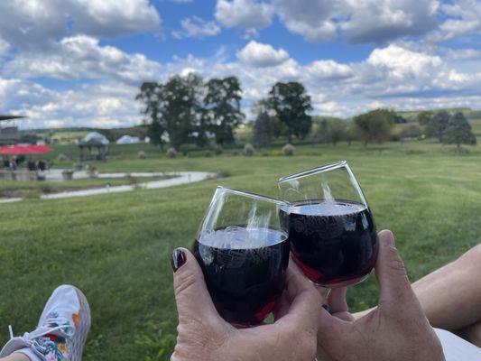
Can't-miss activities
Culture, natural beauty, and plain old fun.

Places to stay
Hang your (vacation) hat in a place that’s just your style.

Advertisement