Washington Boro, PA
Advertisement
Advertisement
Washington Boro, PA Map
Washington Boro is a US city in Lancaster County in the state of Pennsylvania. Located at the longitude and latitude of -76.467500, 39.992500 and situated at an elevation of 87 meters. In the 2020 United States Census, Washington Boro, PA had a population of 721 people. Washington Boro is in the Eastern Standard Time timezone at Coordinated Universal Time (UTC) -5. Find directions to Washington Boro, PA, browse local businesses, landmarks, get current traffic estimates, road conditions, and more.
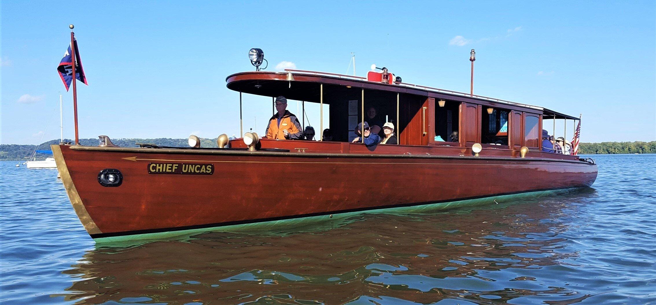
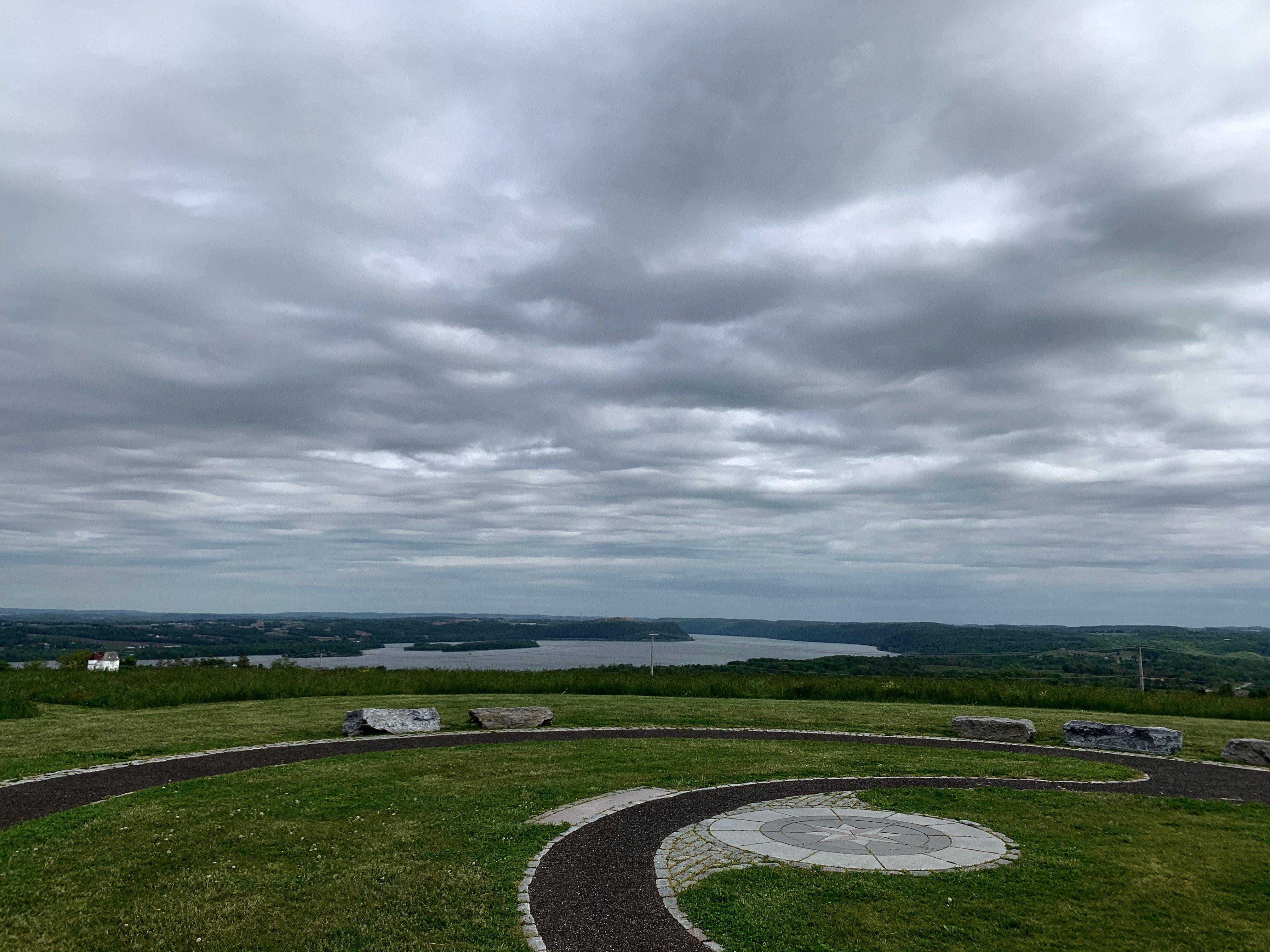
Washington Boro, Pennsylvania, is a small but historically rich community nestled along the banks of the Susquehanna River. Known primarily for its scenic river views and agricultural heritage, this area played a significant role in the early settlement patterns of Pennsylvania. Visitors are often drawn to the peaceful ambiance and the opportunity to explore the natural surroundings, especially during the annual RiverFest, which celebrates the borough's connection to the Susquehanna River with activities and local vendors.
A notable attraction in Washington Boro is the Native Lands County Park, where history enthusiasts can explore the archaeological remnants of Native American settlements. This park offers trails that provide picturesque views of the river and the chance to learn about the area's indigenous history. Another point of interest is the Washington Boro Tomato Festival, a testament to the region's agricultural roots, celebrating the local tomato harvest with food, music, and community gatherings. These elements together paint a portrait of Washington Boro as a place where history and natural beauty converge, offering a quaint and educational escape for visitors.
Nearby cities include: East Prospect, PA, Columbia, PA, Mountville, PA, Wrightsville, PA, Lower Windsor, PA, Millersville, PA, Marietta, PA, Yorkana, PA, Wheatland, PA, Hellam, PA.
Places in Washington Boro
Dine and drink
Eat and drink your way through town.
Can't-miss activities
Culture, natural beauty, and plain old fun.
Places to stay
Hang your (vacation) hat in a place that’s just your style.
Advertisement
Advertisement


