


Mountville, SC
Advertisement
Mountville, SC 29370
Mountville Map
Mountville is a census-designated place in Laurens County, South Carolina, United States. The population was 130 at the 2000 census. It is part of the Greenville–Mauldin–Easley Metropolitan Statistical Area.
Mountville is located at 34°21?45?N 81°58?14?W / 34.3625°N 81.97056°W / 34.3625; -81.97056 (34.362544, -81.970573).
According to the United States Census Bureau, the CDP has a total area of 2.8 square miles (7.4 km²), of which, 2.8 square miles (7.3 km²) of it is land and 0.04 square miles (0.1 km²) of it (0.70%) is water.
Nearby cities include Ninety Six, Ware Shoals, Greenwood, Silverstreet, Gray Court.
Places in Mountville
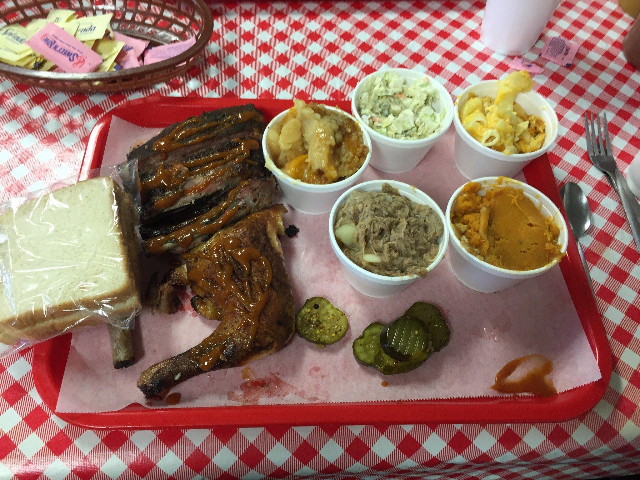
Dine and drink
Eat and drink your way through town.


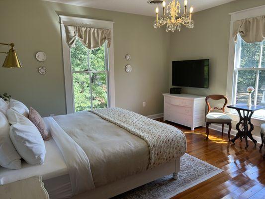
Places to stay
Hang your (vacation) hat in a place that’s just your style.
See a problem?
Advertisement