


Tyndall, SD
Advertisement
Tyndall, SD Map
Tyndall is a US city in Bon Homme County in the state of South Dakota. Located at the longitude and latitude of -97.862850, 42.993330 and situated at an elevation of 433 meters. In the 2020 United States Census, Tyndall, SD had a population of 1,057 people. Tyndall is in the Central Standard Time timezone at Coordinated Universal Time (UTC) -6. Find directions to Tyndall, SD, browse local businesses, landmarks, get current traffic estimates, road conditions, and more.
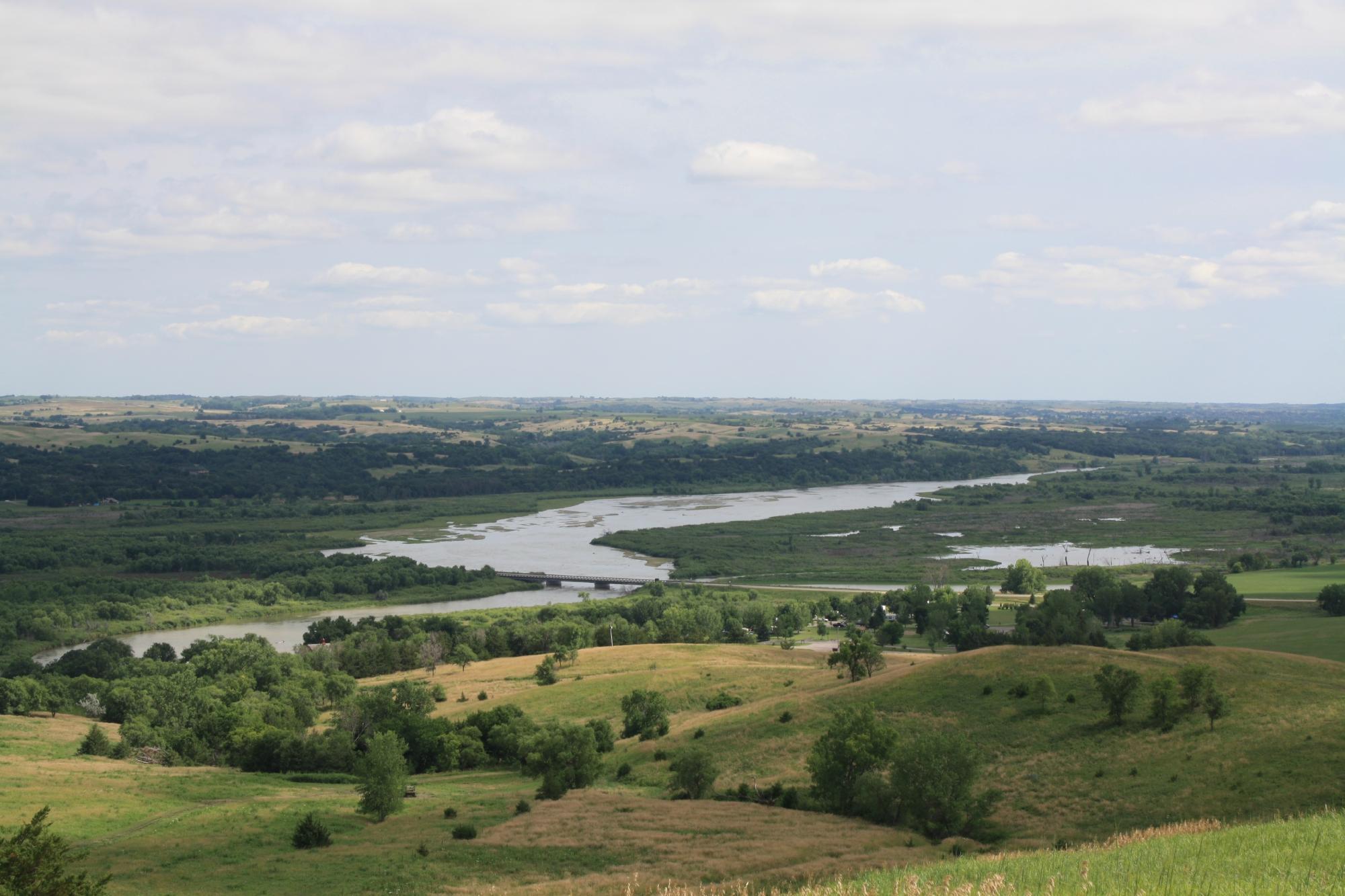
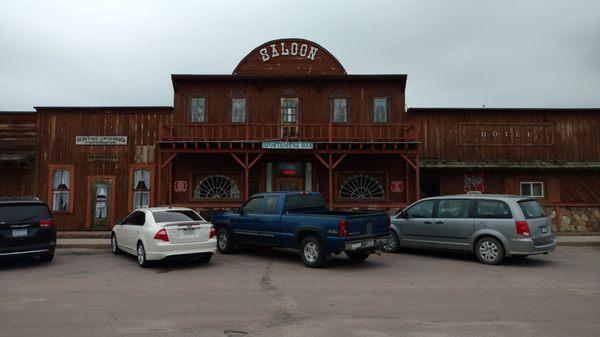
Tyndall, located in South Dakota, is a small city that encapsulates the charm of the American Midwest. Known for its rich agricultural surroundings, Tyndall offers visitors a glimpse into rural life with its expansive farmlands and welcoming community atmosphere. The city is home to several notable landmarks, including the Tyndall City Park, which serves as a hub for community events and leisure activities. Visitors can also explore the Tyndall Historical Museum, which provides insights into the area's history and showcases artifacts from its early settlement days.
The city's history dates back to the late 19th century, when it was established as a stop along the railroad, contributing to its growth and development. Tyndall's historical roots are evident in its well-preserved architecture and the stories shared by locals. The annual Tyndall Czech Days festival is a highlight for both residents and visitors, celebrating the city's cultural heritage with traditional music, dance, and food. This event offers a unique opportunity to experience the vibrant traditions that continue to shape the identity of Tyndall today.
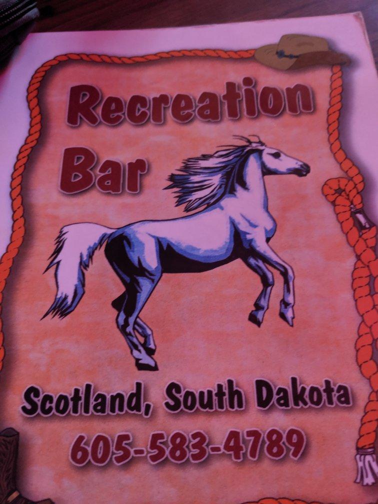
Nearby cities include: Springfield, SD, Avon, SD, Santee, NE, Tabor, SD, Scotland, SD, Kaylor, SD, Lesterville, SD, Fair, SD, Kaylor, SD, Lone Tree, SD.
Places in Tyndall
Can't-miss activities
Culture, natural beauty, and plain old fun.

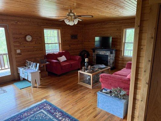
Places to stay
Hang your (vacation) hat in a place that’s just your style.

Advertisement