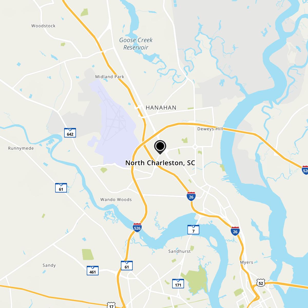
North Charleston, SC Map
North Charleston is a US city in Charleston County in the state of South Carolina. Located at the longitude and latitude of -80.016944, 32.885278 and situated at an elevation of 6 meters. In the 2020 United States Census, North Charleston, SC had a population of 114,852 people. North Charleston is in the Eastern Standard Time timezone at Coordinated Universal Time (UTC) -5. Find directions to North Charleston, SC, browse local businesses, landmarks, get current traffic estimates, road conditions, and more.
North Charleston, South Carolina, is a city known for its industrial prowess and vibrant cultural scene. Historically, it has been a hub for manufacturing and industry, significantly contributing to the region's economic growth. The city's industrial roots are complemented by a burgeoning arts scene and a welcoming community spirit. Visitors often explore the North Charleston Coliseum, a major venue for concerts, sporting events, and trade shows. The Charleston Area Convention Center, another key attraction, hosts a variety of events throughout the year. North Charleston is also home to the Riverfront Park, which offers scenic views of the Cooper River and features a memorial dedicated to the historical Charleston Naval Base, adding a touch of historical significance to the city's offerings.
Beyond its industrial and event-driven attractions, North Charleston offers a variety of shopping and dining experiences, particularly at the Tanger Outlets, which draw both locals and tourists. The city is also known for its emphasis on community and cultural festivals, like the North Charleston Arts Fest, which showcases local artists and performers. This blend of industry, culture, and community makes North Charleston a unique destination, offering a glimpse into both past and present-day Southern life.
Nearby cities include: Hanahan, SC, Goose Creek, SC, Charleston, SC, Ladson, SC, Mount Pleasant, SC, Lincolnville, SC, Sangaree, SC, Summerville, SC, Ravenel, SC, Hollywood, SC.
Map of North Charleston, SC
