


Vickers, SD
Advertisement
Vickers Township, SD Map
Vickers Township is a US city in Perkins County in the state of South Dakota. Located at the longitude and latitude of -102.512000, 45.441400 and situated at an elevation of 833 meters. In the 2020 United States Census, Vickers Township, SD had a population of 18 people. Vickers Township is in the Mountain Standard Time timezone at Coordinated Universal Time (UTC) -7. Find directions to Vickers Township, SD, browse local businesses, landmarks, get current traffic estimates, road conditions, and more.
Vickers Township in South Dakota is celebrated for its picturesque landscapes and a community deeply rooted in agriculture. Known for its expansive fields and serene rural charm, the township offers a peaceful retreat for those looking to escape the hustle and bustle of urban life. Historically, Vickers Township developed as a farming community, with its origins tracing back to the early settlers who cultivated the land and established a tight-knit society. The township is characterized by its historical buildings and local farms, which provide a glimpse into the area's rich agricultural heritage.
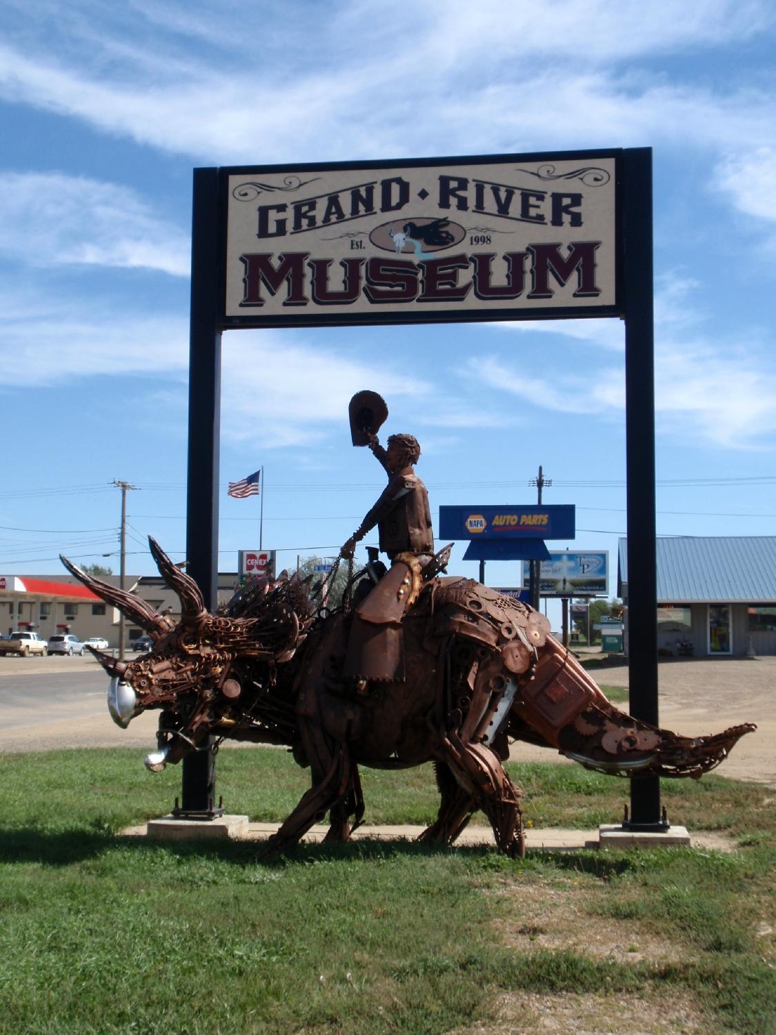
Visitors to Vickers Township can explore popular spots such as the Vickers Historical Museum, which showcases artifacts and exhibits detailing the region's history and the evolution of its farming practices. Additionally, the township is home to several nature trails and parks, perfect for hiking enthusiasts and nature lovers. These trails offer stunning views of the surrounding countryside, making them a must-visit for anyone wanting to experience the natural beauty of South Dakota. Vickers Township is a quintessential example of rural America, offering both historical insights and outdoor adventures.
Nearby cities include: Bison, SD, Bison, SD, Lone Tree, SD, Hall, SD, Rainbow, SD, Scotch Cap, SD, Ada, SD, Duell, SD, Marshfield, SD, Maltby, SD.
Places in Vickers
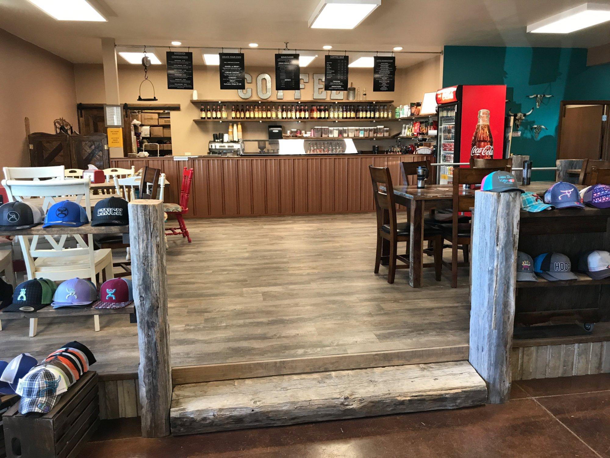
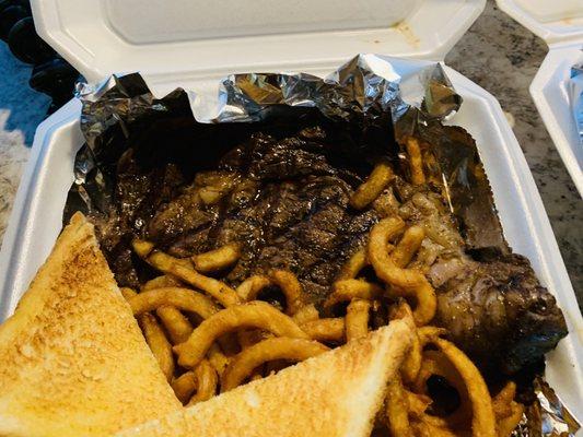
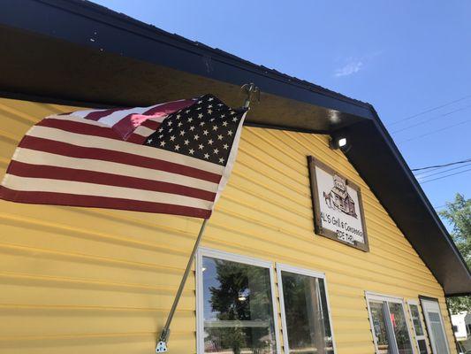
Dine and drink
Eat and drink your way through town.
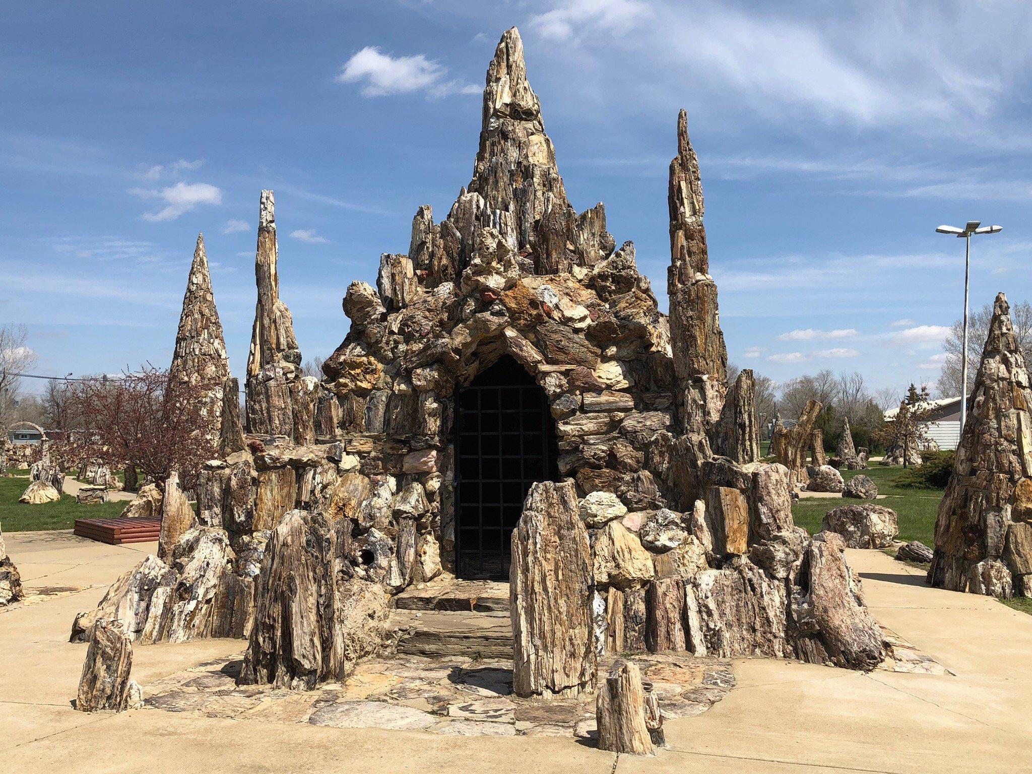
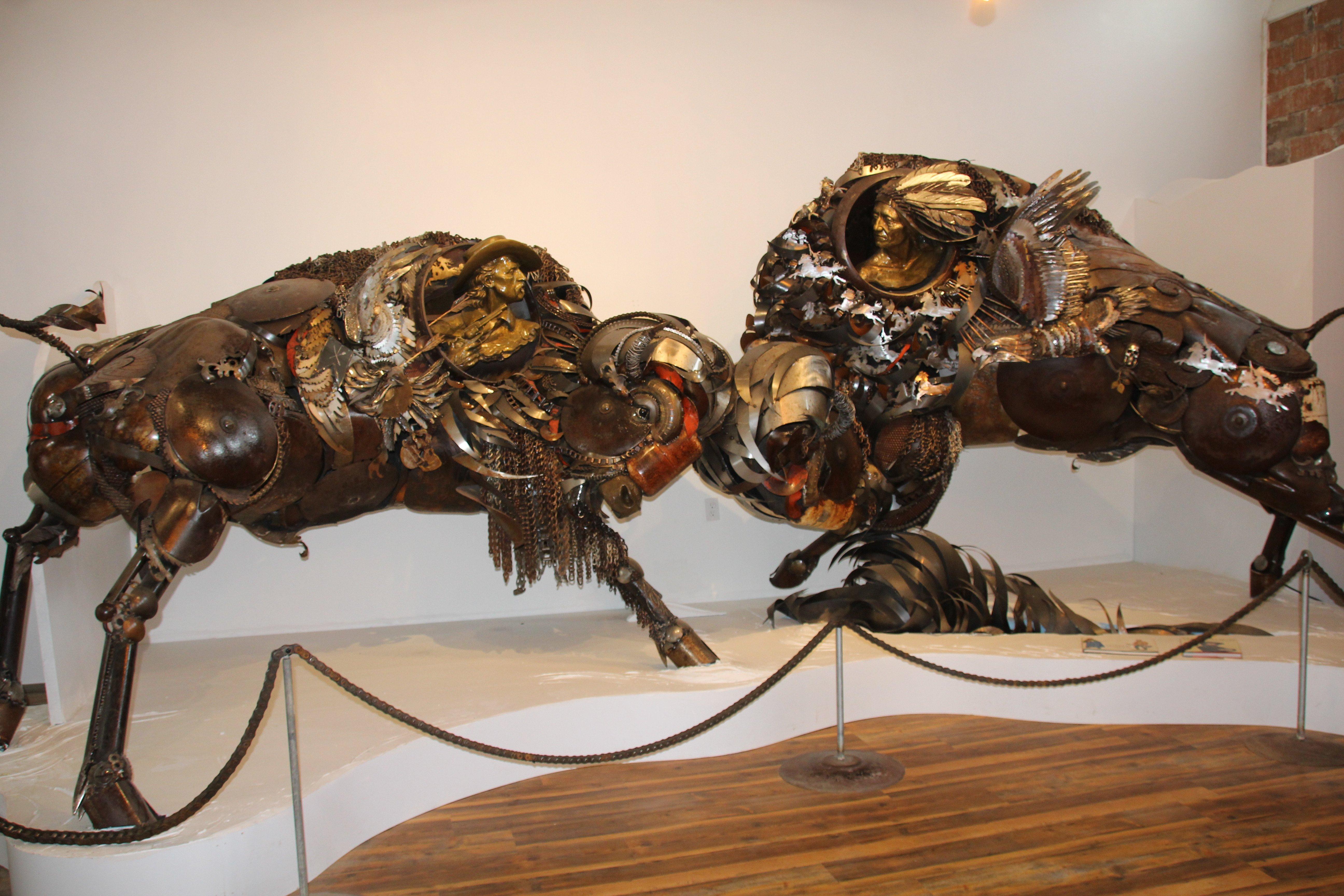
Can't-miss activities
Culture, natural beauty, and plain old fun.
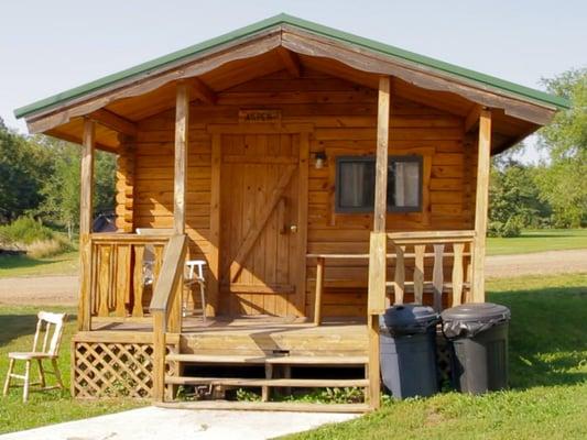
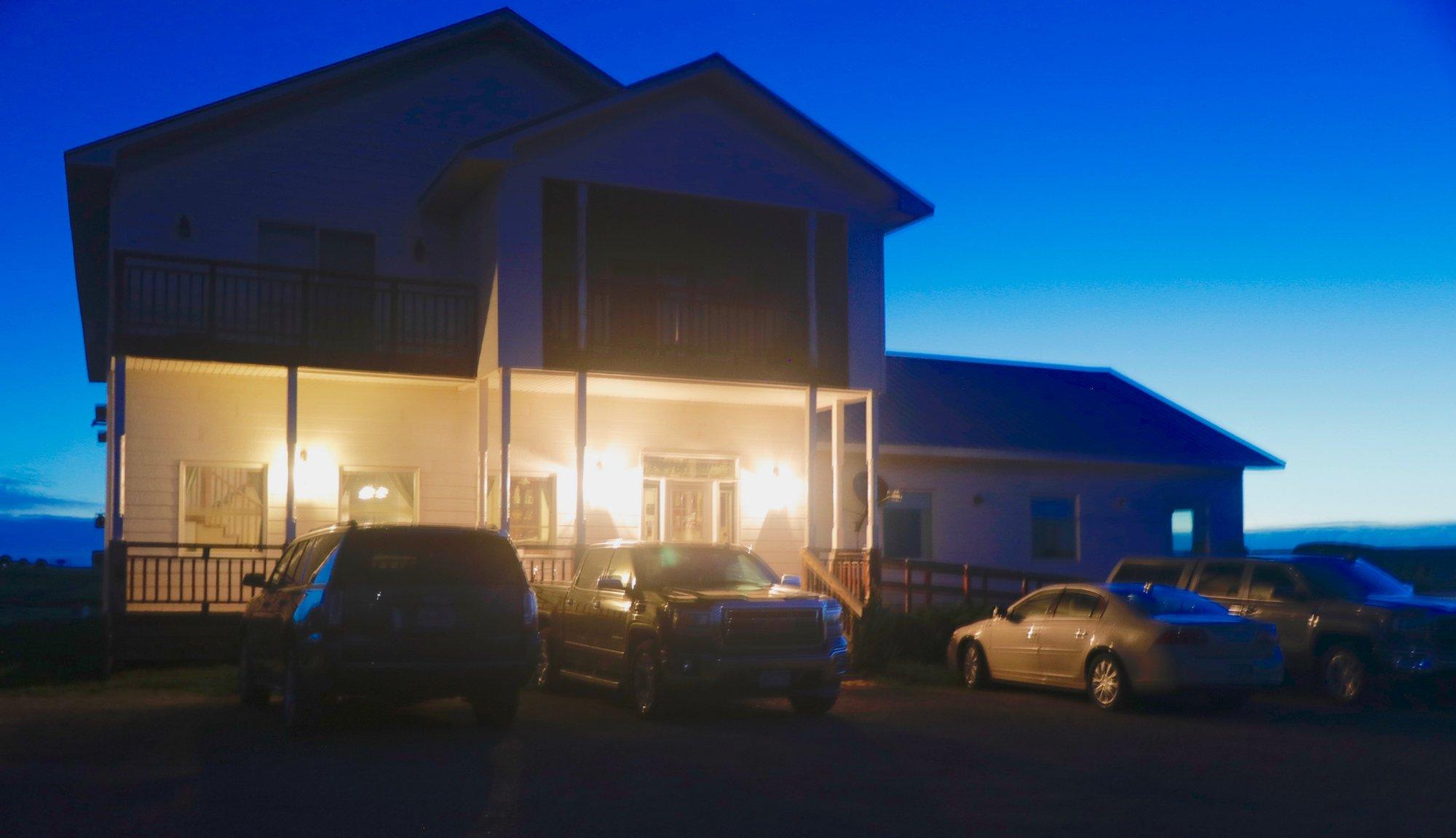
Places to stay
Hang your (vacation) hat in a place that’s just your style.

Advertisement