Advertisement

Advertisement

HotelsFoodShoppingCoffeeGroceryGas

Indian Springs, TX

Advertisement

Advertisement

Indian Springs, TX

Indian Springs Map

The City of Indian Springs is located in the State of Texas. Find directions to Indian Springs, browse local businesses, landmarks, get current traffic estimates, road conditions, and more. The Indian Springs time zone is Central Daylight Time which is 6 hours behind Coordinated Universal Time (UTC).

Nearby cities include Camp Ruby, Marston, Livingston, Livingston-Onalaska, Ollie.

Places in Indian Springs

Dine and drink

Eat and drink your way through town.

I ordered shrimp quesadillas. That's not exactly what this is.

Mante's

28

$

Photo by Judy H

Timbers Grille

3

$

Photo by myshoe99

Naskila Gaming

118
Bbq sampler with bbq baked beans

Cajun Smokehouse Junction

2

Can't-miss activities

Culture, natural beauty, and plain old fun.

Photo by radchadam

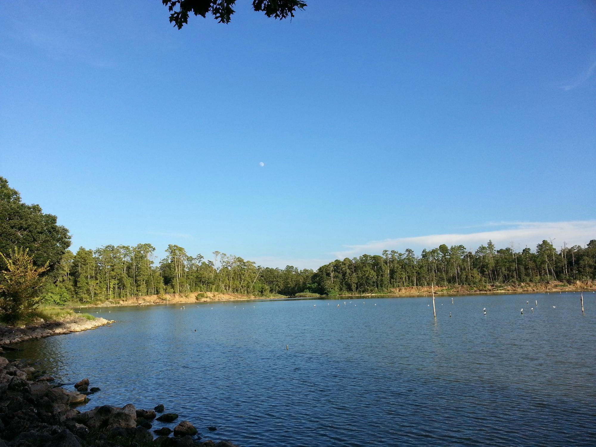
Lake Livingston State Park

57
Photo by radchadam

Lake Livingston State Park

57
Photo by Vonschmidt

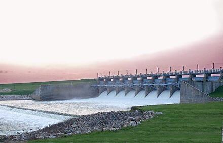
Lake Livingston Dam

26
Studio Photo  Come visit and see what I can teach you.

Barbara Haviland Fine Art

Places to stay

Hang your (vacation) hat in a place that’s just your style.

Photo courtesy of: Hope Lynette Photography

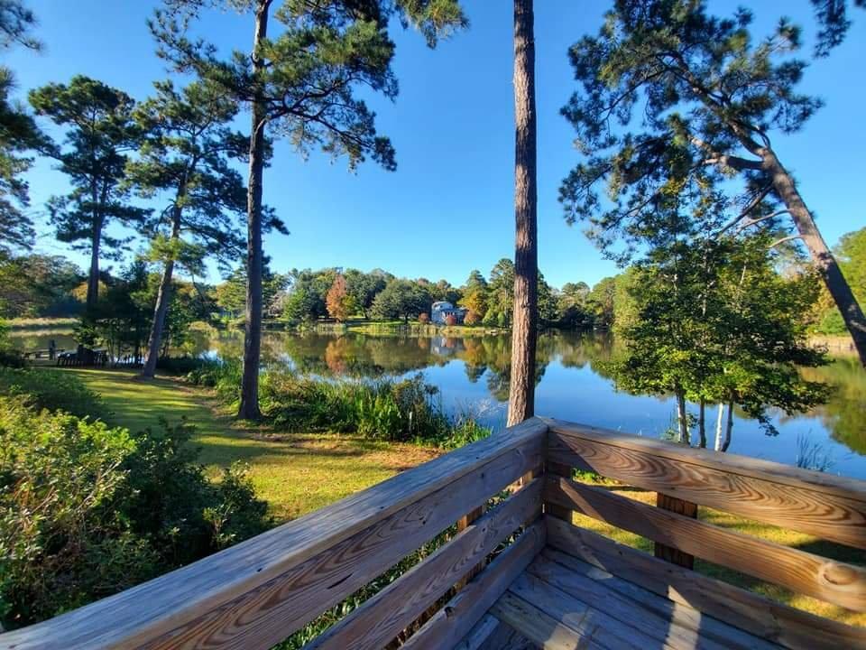
Lake Tombigbee Campgrounds

14
GALLERY

Hampton Inn Livingston

La Quinta Inn & Suites By Wyndham Livingston

Photo by Management

Americas Best Value Inn & Suites Livingston

8
See a problem?
United States›Texas›Indian Springs, TX

Advertisement

Advertisement

  • Get directions
  • MapQuest Travel
  • Route Planner
  • Print your map
  • Get help
  • Search the web
  • Send feedback
Learn more about our mobile apps.
  • Android app Google Play
  • Download on the App Store
  • Download on the Amazon Appstore
  • Enterprise solutions
  • Claim your business
  • Developer resources
  • Jobs
  • Advertise with us
  • Terms of use
  • Privacy policy
  • Data and licenses
  • About our ads
  • Do not sell