


Columbia, VA
Advertisement
Columbia, VA 23038
Columbia Map
Columbia is a town in Fluvanna County, Virginia, United States, at the confluence of the James and Rivanna Rivers. The population was 49 at the 2000 census, making it Virginia's smallest incorporated town. It was the site of a minor battle during the Revolutionary War, historical reenactments of which are held annually.
Columbia is part of the Charlottesville Metropolitan Statistical Area.
Columbia is located at 37°45?8?N 78°9?44?W / 37.75222°N 78.16222°W / 37.75222; -78.16222 (37.752206, -78.162291).
Nearby cities include Goochland, Cumberland, Scottsville, Palmyra.
Places in Columbia
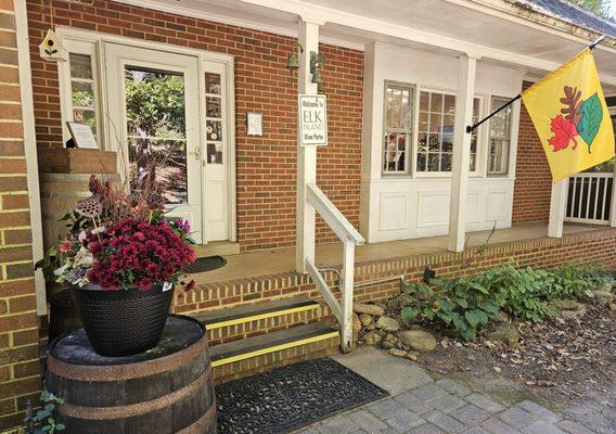
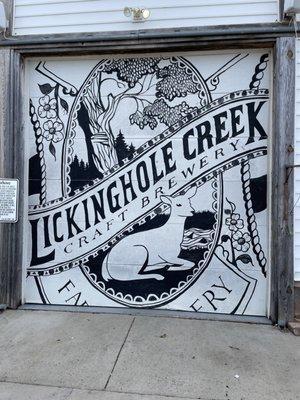
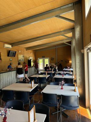
Dine and drink
Eat and drink your way through town.


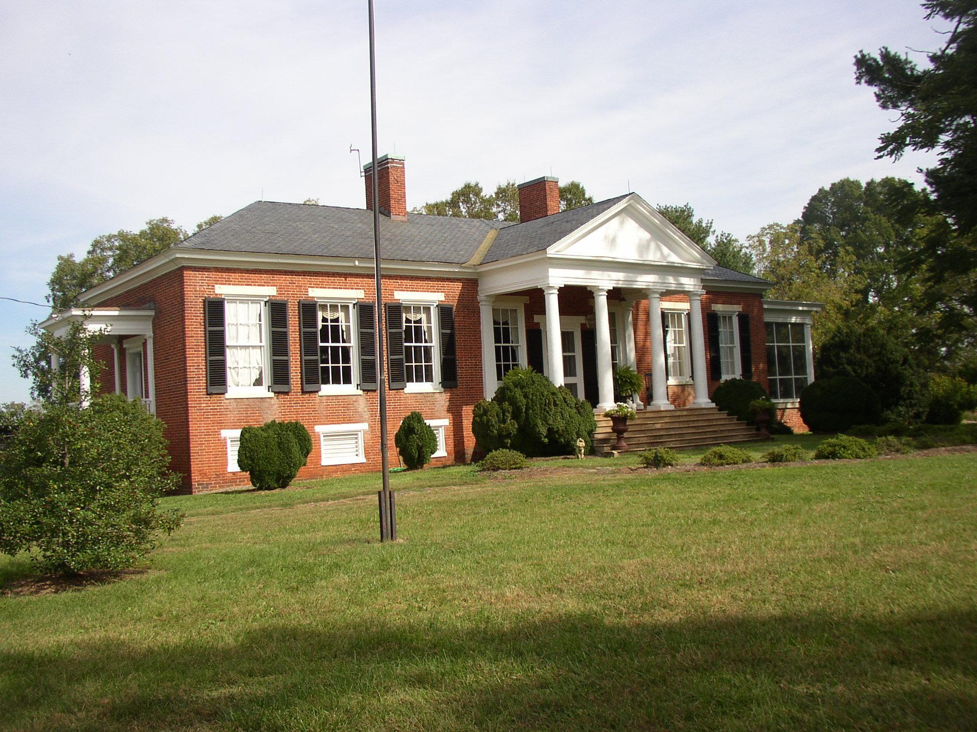
Can't-miss activities
Culture, natural beauty, and plain old fun.


Places to stay
Hang your (vacation) hat in a place that’s just your style.


See a problem?
Advertisement