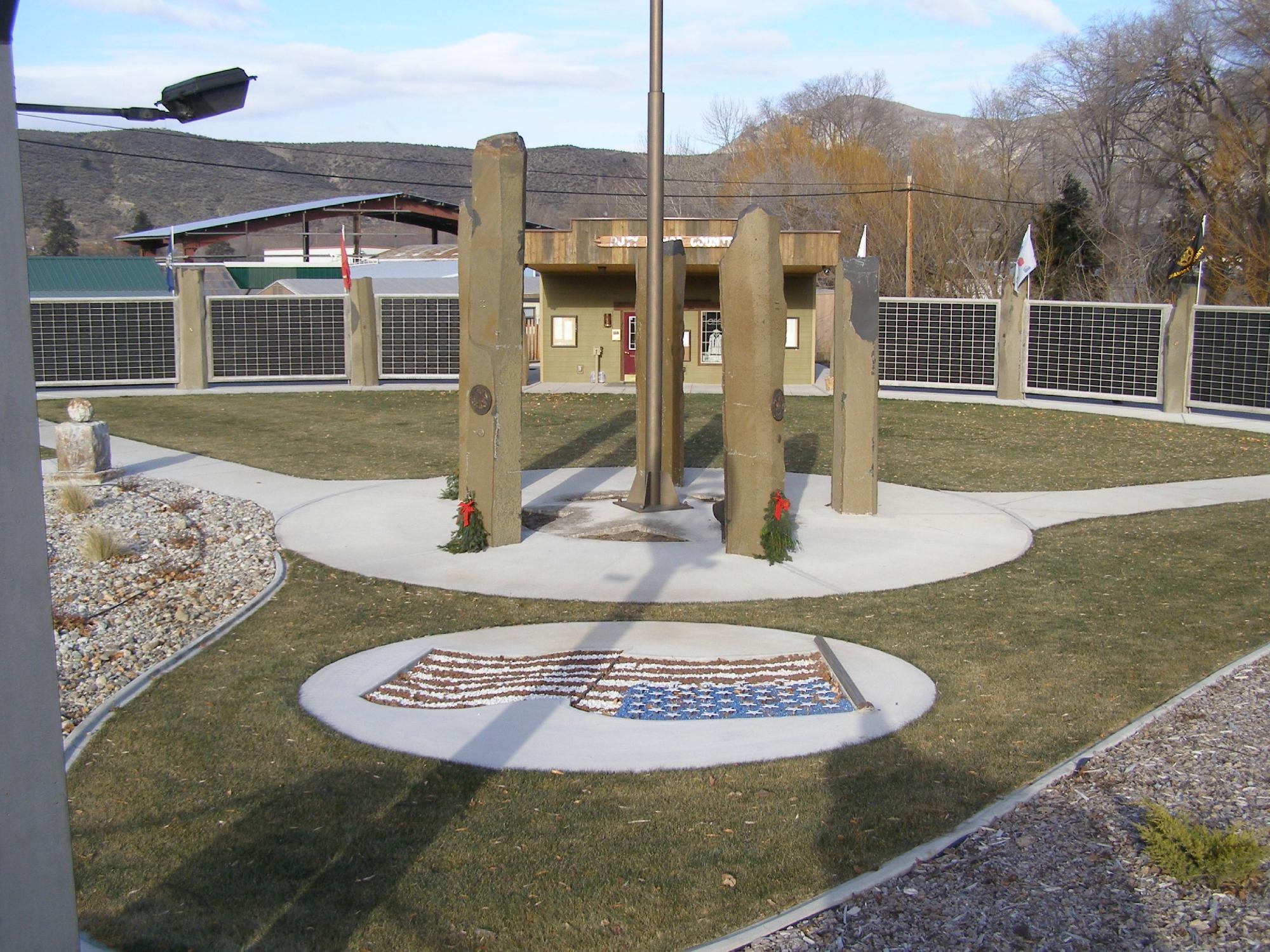
Tonasket, WA
Advertisement
Tonasket, WA Map
Tonasket is a US city in Okanogan County in the state of Washington. Located at the longitude and latitude of -119.438611, 48.705556 and situated at an elevation of 280 meters. In the 2020 United States Census, Tonasket, WA had a population of 1,103 people. Tonasket is in the Pacific Standard Time timezone at Coordinated Universal Time (UTC) -8. Find directions to Tonasket, WA, browse local businesses, landmarks, get current traffic estimates, road conditions, and more.
Tonasket, located in Washington State, is a small city known primarily for its close-knit community and natural beauty. It's a gateway to outdoor adventures, surrounded by the Okanogan-Wenatchee National Forest and close to the Okanogan River, making it popular for hiking, fishing, and camping enthusiasts. The city offers a charming rural atmosphere, with local events and markets that highlight its agricultural roots. Historically, Tonasket was established in the early 20th century and named after Chief Tonasket, a leader of the local indigenous people, reflecting the area's rich cultural heritage.
Visitors to Tonasket often explore the nearby Highlands Sno-Park for winter sports or enjoy the scenic drive along Highway 20, which offers stunning views of the landscape. The Tonasket Visitor and Business Resource Center serves as a hub for tourists looking to learn more about the area's attractions and history. The city also hosts the annual Tonasket Founders Day Rodeo, a testament to its vibrant community spirit and a nod to its historical roots. With its blend of natural beauty and cultural significance, Tonasket provides a serene yet engaging experience for those looking to explore the quieter side of Washington State.
Nearby cities include: Loomis, WA, Riverside, WA, Oroville, WA, Conconully, WA, Omak, WA, Okanogan, WA, Malott, WA, Republic, WA, Winthrop, WA, Malo, WA.
Places in Tonasket
Dine and drink
Eat and drink your way through town.
Can't-miss activities
Culture, natural beauty, and plain old fun.
Places to stay
Hang your (vacation) hat in a place that’s just your style.
Advertisement


