


Malabar, FL
Advertisement
Malabar, FL Map
Malabar is a US city in Brevard County in the state of Florida. Located at the longitude and latitude of -80.565610, 28.003630 and situated at an elevation of 0 meters. In the 2020 United States Census, Malabar, FL had a population of 2,949 people. Malabar is in the Eastern Standard Time timezone at Coordinated Universal Time (UTC) -5. Find directions to Malabar, FL, browse local businesses, landmarks, get current traffic estimates, road conditions, and more.
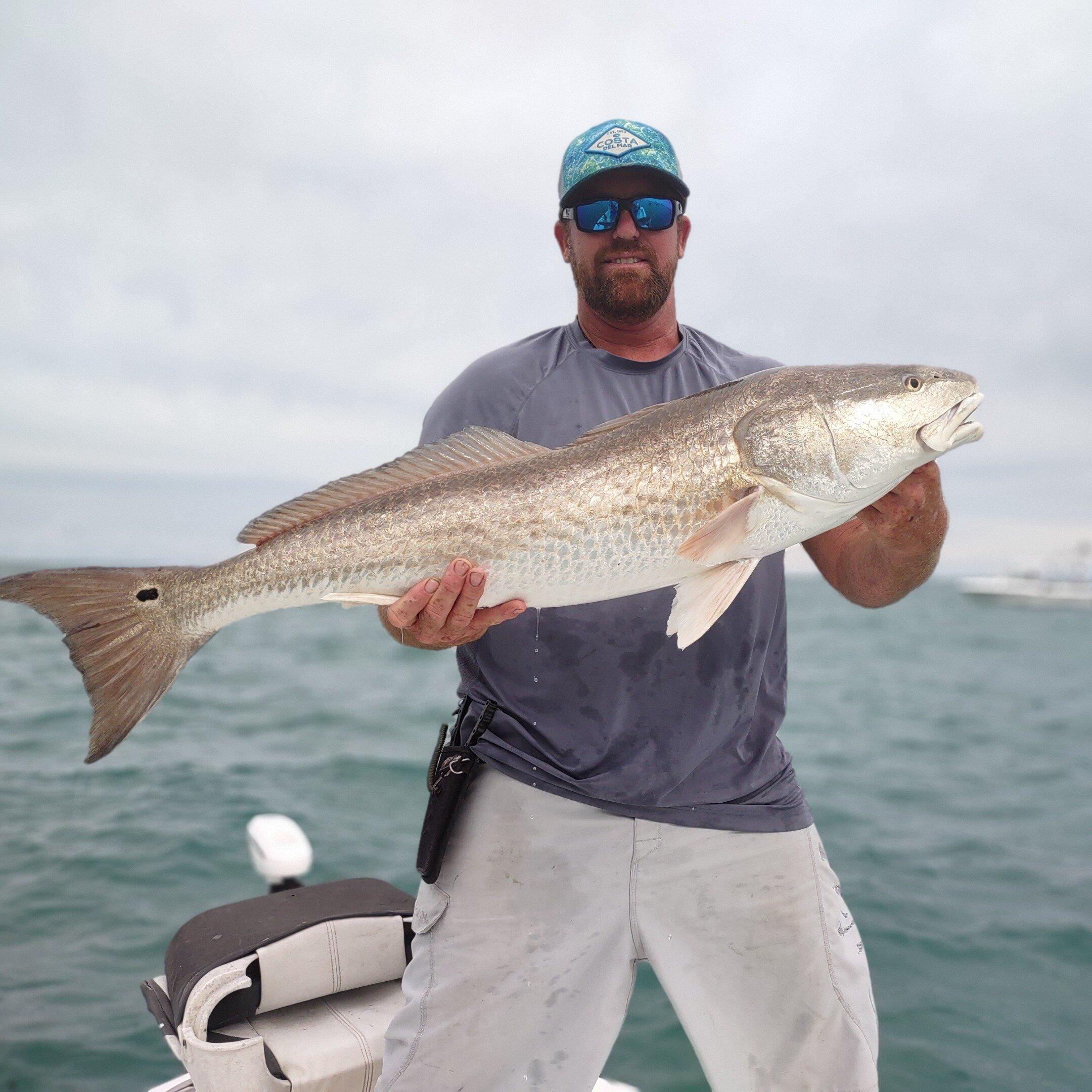
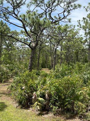
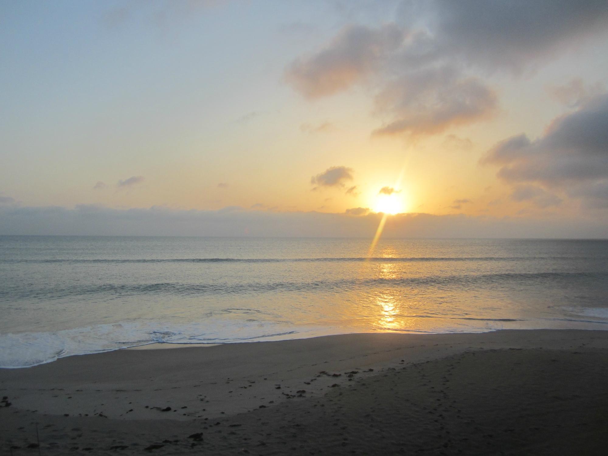
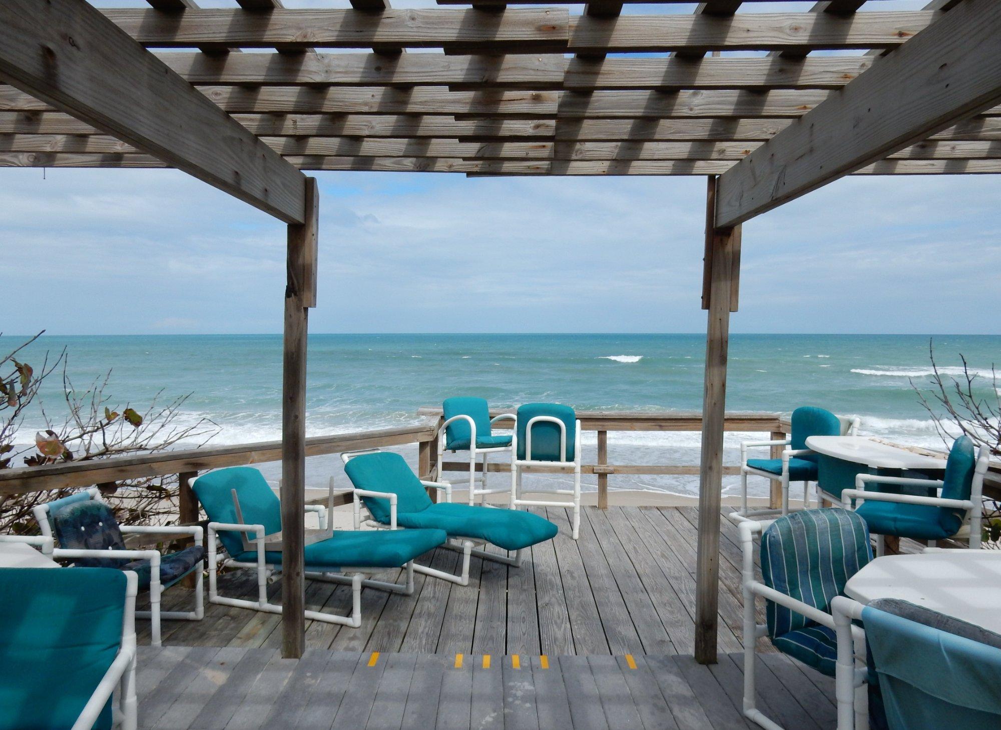
Malabar, located in the state of Florida, is known for its tranquil environment and its proximity to the Indian River Lagoon, offering a serene escape from the bustling city life. This charming town is famous for its outdoor recreational opportunities, particularly in the Malabar Scrub Sanctuary, which is a haven for nature enthusiasts. The sanctuary offers a network of trails perfect for hiking, birdwatching, and observing native wildlife in their natural habitat. The town is also known for its beautiful waterfront views and small-town charm, making it a great spot for those looking to enjoy Florida's natural beauty.
Historically, Malabar has roots stretching back to the late 19th century, when it was primarily an agricultural community. Over the years, it has retained much of its rustic charm while gradually developing into a welcoming residential area. The town's history is reflected in its community events and local traditions, which celebrate its heritage and close-knit atmosphere. Visitors can enjoy the quiet, laid-back lifestyle that Malabar offers, making it a refreshing destination for those seeking to experience the more tranquil side of Florida.
Nearby cities include: Melbourne Beach, FL, Grant-Valkaria, FL, Indialantic, FL, Melbourne, FL, Palm Bay, FL, West Melbourne, FL, Melbourne, FL, Indian Harbour Beach, FL, Satellite Beach, FL, South Patrick Shores, FL.
Places in Malabar
Dine and drink
Eat and drink your way through town.


Can't-miss activities
Culture, natural beauty, and plain old fun.

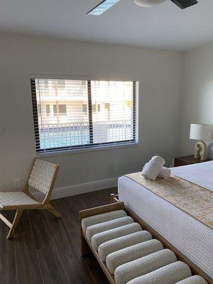
Places to stay
Hang your (vacation) hat in a place that’s just your style.

Advertisement