


Stockwell, IN
Advertisement
Stockwell, IN Map
Stockwell is a US city in Tippecanoe County in the state of Indiana. Located at the longitude and latitude of -86.771111, 40.286111 and situated at an elevation of 771 meters. In the 2020 United States Census, Stockwell, IN had a population of 494 people. Stockwell is in the Eastern Standard Time timezone at Coordinated Universal Time (UTC) -5. Find directions to Stockwell, IN, browse local businesses, landmarks, get current traffic estimates, road conditions, and more.
Stockwell, located in the state of Indiana, is a small town characterized by its quaint charm and rich history. Known primarily for its origins tied to the expansion of the railroad in the 19th century, Stockwell offers visitors a glimpse into the past with its preserved historical buildings and a community that embodies the spirit of small-town America. The town's historical significance is further highlighted by the Stockwell Depot, a nod to its railroad heritage, which serves as a reminder of the pivotal role transportation played in its development.
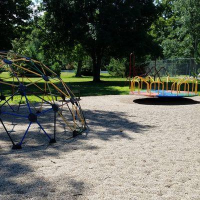
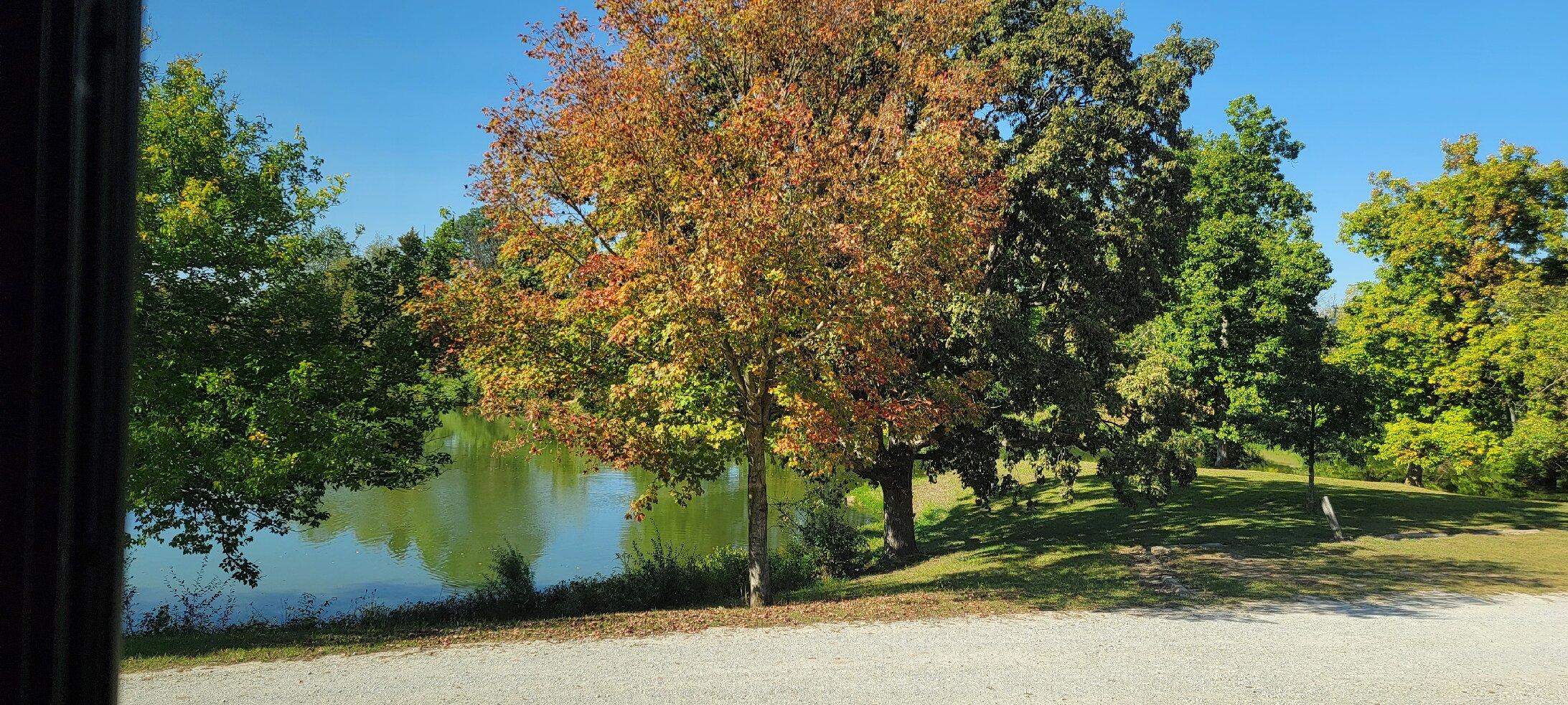
Visitors to Stockwell can enjoy a leisurely stroll through the town's peaceful streets, where local shops offer a taste of the community's warm hospitality. The nearby countryside provides ample opportunities for outdoor activities, such as hiking and picnicking, making it a delightful stop for those seeking a quiet retreat. While Stockwell may not boast the bustling attractions of larger cities, its serene environment and historical roots offer a unique and authentic experience for travelers interested in exploring Indiana's more understated locales.
Nearby cities include: Clarks Hill, IN, Dayton, IN, Mulberry, IN, Sugar Creek, IN, Romney, IN, Colfax, IN, Linden, IN, Lafayette, IN, Shadeland, IN, Ross, IN.
Places in Stockwell
Dine and drink
Eat and drink your way through town.


Can't-miss activities
Culture, natural beauty, and plain old fun.


Places to stay
Hang your (vacation) hat in a place that’s just your style.


Advertisement