


Clayton Map
Clayton is a village in Lenawee County of the U.S. state of Michigan. As of the 2000 census, the village population was 326. The village is situated on the boundary between Hudson Township on the west and Dover Township on the east, with a portion of the village in each.
M-34 (or W. Carleton Rd.) passes along the south side of the village, while M-156 has its northern terminus at the junction with M-34. The road, also known as Morey Highway, continues north through the village.
According to the United States Census Bureau, the village has a total area of 0.8 square miles (2.0 km²), all land.
Nearby cities include Onsted, Morenci, Adrian, Addison, Jasper.
Places in Clayton
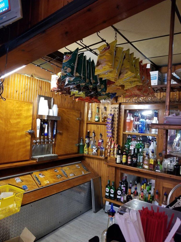
Dine and drink
Eat and drink your way through town.


Can't-miss activities
Culture, natural beauty, and plain old fun.


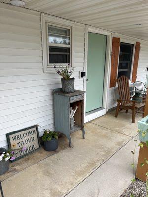
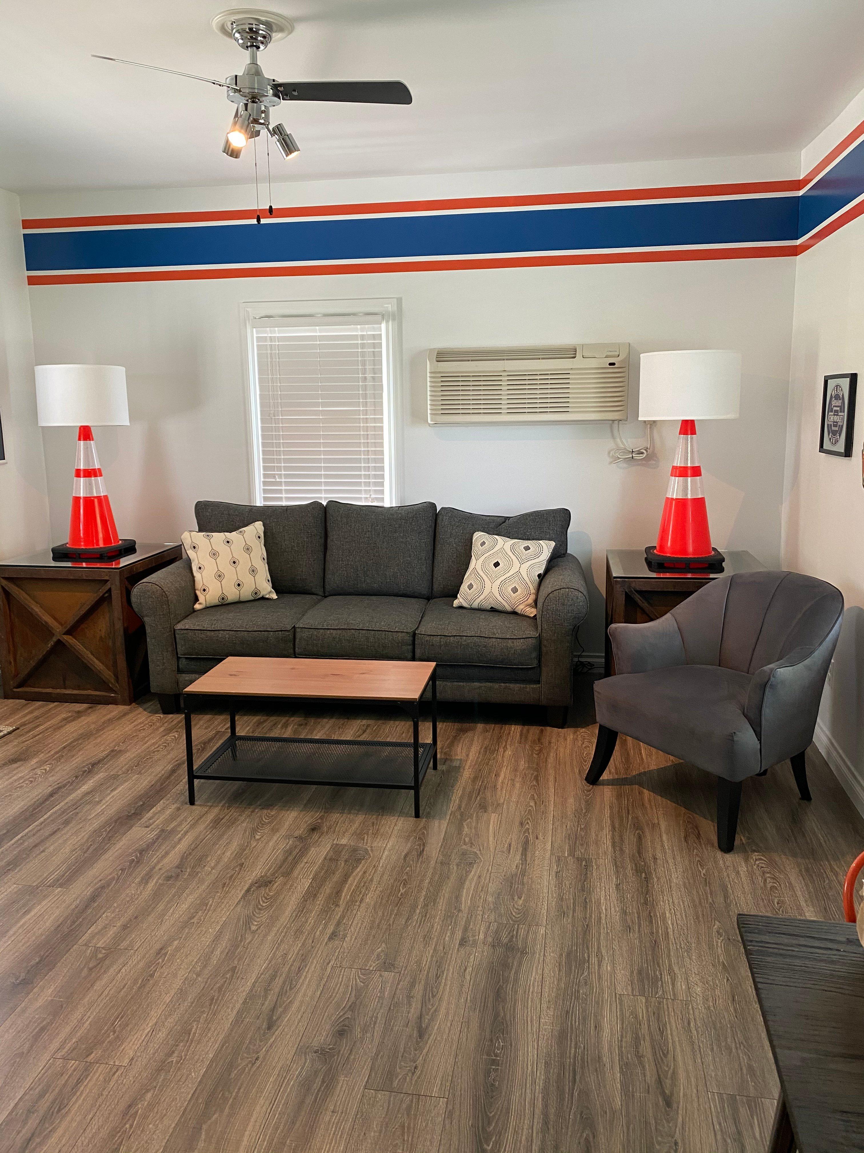
Places to stay
Hang your (vacation) hat in a place that’s just your style.
Advertisement