


Lamotte, MI
Advertisement
Lamotte Township, MI Map
Lamotte Township is a US city in Sanilac County in the state of Michigan. Located at the longitude and latitude of -83.055000, 43.466100 and situated at an elevation of 234 meters. In the 2020 United States Census, Lamotte Township, MI had a population of 764 people. Lamotte Township is in the Eastern Standard Time timezone at Coordinated Universal Time (UTC) -5. Find directions to Lamotte Township, MI, browse local businesses, landmarks, get current traffic estimates, road conditions, and more.
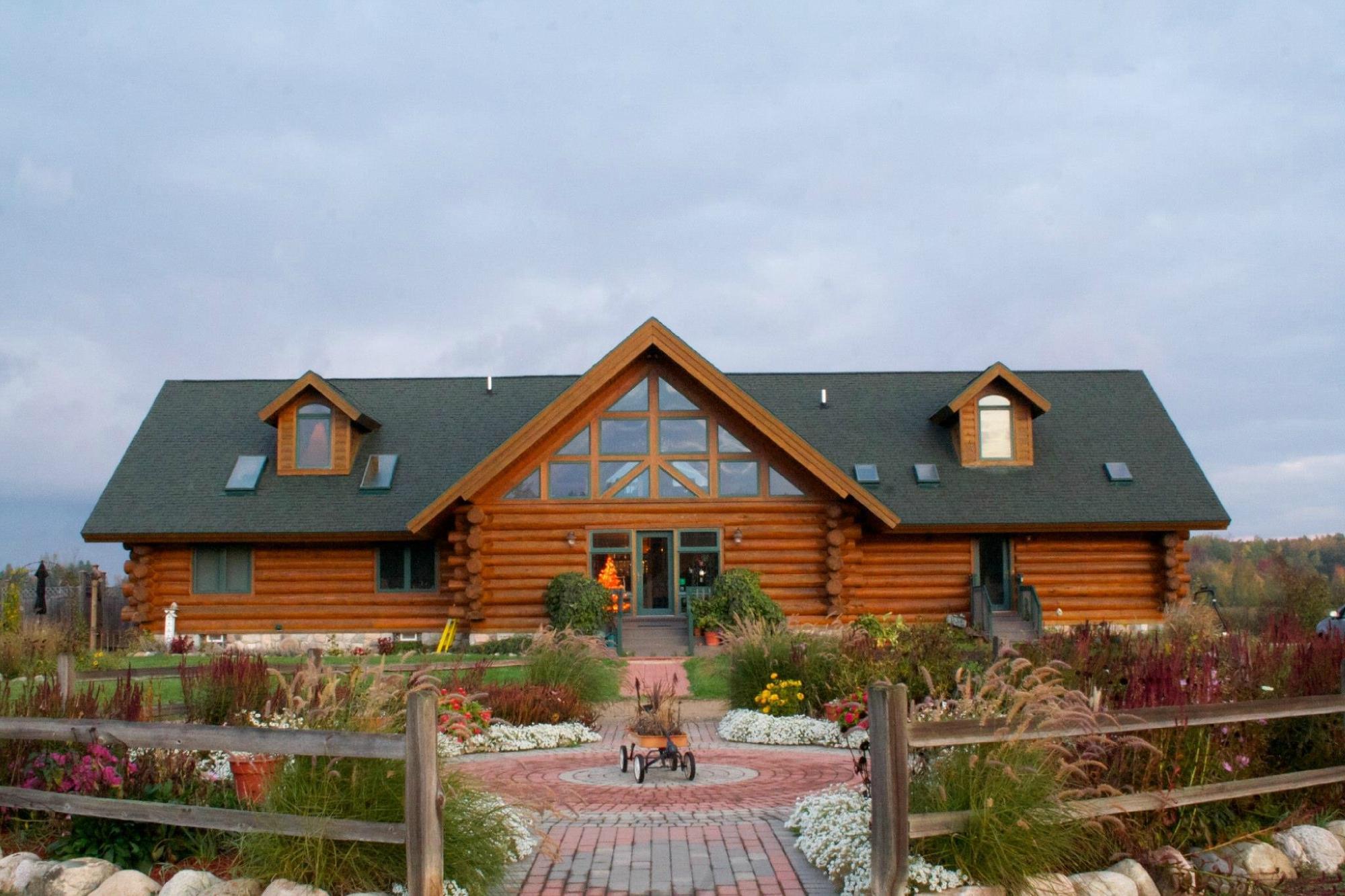
Lamotte Township, located in the state of Michigan, is a quintessential example of rural Americana, offering a serene escape from the hustle and bustle of urban life. This township is primarily known for its agricultural roots, with vast expanses of farmland painting a picturesque landscape that captures the essence of Midwestern charm. Visitors to Lamotte Township can explore its scenic trails and enjoy outdoor activities such as hiking, bird watching, and fishing in the nearby natural reserves. The tranquility of the area makes it a perfect spot for those looking to reconnect with nature.
While Lamotte Township may not boast the bustling attractions of larger cities, it holds historical significance with its longstanding farming community, which has played a pivotal role in the local economy and culture. The township often hosts community events and fairs that celebrate its agricultural heritage, providing a glimpse into traditional farming practices and local crafts. These events are an excellent opportunity for visitors to engage with the community and experience the warmth and hospitality that define this charming township. Overall, Lamotte Township offers a peaceful retreat with a strong sense of history and community spirit.
Nearby cities include: Snover, MI, Moore, MI, Kingston, MI, Koylton, MI, Argyle, MI, Novesta, MI, Elmer, MI, Marlette, MI, Cass City, MI, Greenleaf, MI.
Places in Lamotte
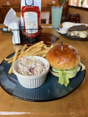
Dine and drink
Eat and drink your way through town.


Can't-miss activities
Culture, natural beauty, and plain old fun.
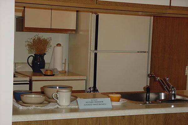

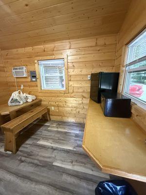
Places to stay
Hang your (vacation) hat in a place that’s just your style.
Advertisement