


Howe, OK
Advertisement
Howe, OK 74940
Howe Map
Howe is a town in Le Flore County, Oklahoma, United States. It is part of the Fort Smith, Arkansas-Oklahoma Metropolitan Statistical Area. The population was 697 at the 2000 census.
Howe is located at 34°57?5?N 94°38?13?W / 34.95139°N 94.63694°W / 34.95139; -94.63694 (34.951369, -94.636980).
According to the United States Census Bureau, the town has a total area of 1.5 square miles (4.0 km²), all of it land.
Nearby cities include Shady Point, Panama, Hartford, Bokoshe, Midland.
Places in Howe
Dine and drink
Eat and drink your way through town.


Can't-miss activities
Culture, natural beauty, and plain old fun.


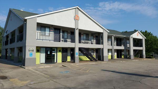
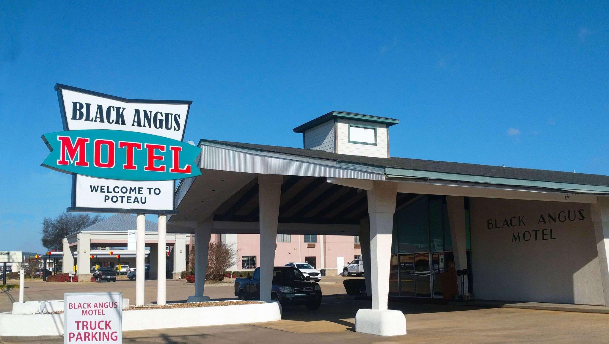
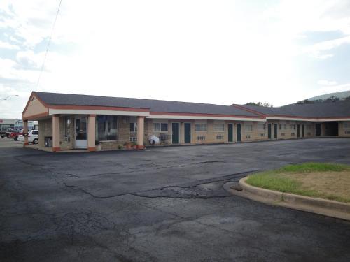
Places to stay
Hang your (vacation) hat in a place that’s just your style.

See a problem?
Advertisement